


The weather forecast for the remainder of the Easter weekend and beyond into next week.
Firstly, happy Easter - hope the chocolate is going down well. So far the Easter weekend has brought plenty of sunshine, thanks to high pressure being in charge. Temperatures have peaked into the low twenties as well, with Good Friday seeing the peak as St James' Park in London reaching 23.4c.
Temperatures are on the way down from here on in though, heading back closer to normal by Easter Monday. That change is thanks to a weather front currently running up across Ireland, which is going to make a move further east during today (Sunday) and overnight, bringing some showery rain with it. For central and eastern regions, it'll be after dark tonight before it makes its presence felt, but those outbreaks of rain will move into Western parts later this afternoon.
Despite that threat, and with increasing amounts of cloud moving in ahead of the rain, it'll be another warm day with maxes into the high teens widely across England, Wales and Southern Scotland - northwest England or southwest Scotland may even see 20c or so.
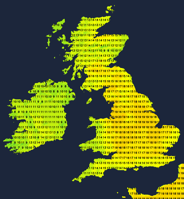
The band of showery rain then moves through west to east overnight, just about clearing the east coast by Monday morning. Behind it, it'll be a cloudier picture for many, with a cooler feel and the risk of some showers, especially across the northern and western halves of the UK. There should still be some reasonable sunny spells to be had though, with maxes ranging from 16-18c in the southeast quarter of the country, to 10-15c elsewhere.
As we head back to work after the long weekend, Tuesday will be another day of sunny spells and scattered showers. These perhaps most prevalent over the northern half of Scotland and southern half of England.
Into midweek and beyond, we're then set to enter into something of a stand-off. With high pressure to the northeast and eventually also north of the country trying to control things, but with low pressure still wanting to have a say. Wednesday will be something of a transition day, as the high starts to take more control, blocking low pressure to the west from making any progress eastwards. Any showers will be fewer and further between. But, east or southeast winds will be picking up as the day progresses, meaning it'll be western parts starting to see the best of the warmth.
Those easterlies will be making their presence felt during Thursday and Friday with more cloud being pulled in off of the North Sea, along with a threat of some showers as low pressure moves closer by to the south of the UK. That extra cloud will mean eastern parts will be much cooler than of late - with some coastal districts potentially struggling to get out of single figures. Further west there should be more in the way of sunshine and in turn warmth, with highs into the mid, perhaps high-teens where the sun can get to work for any length of time.


