The cold air is leaving with a blustery southerly flow for Saturday. Wind and rain from the west give way to high pressure next week. So more settled, finally.
High pressure will take over for next week. Good news if you are tired of all these strong winds and certainly good news for the flood-hit areas as it brings more settled and drier weather.
Before that, we have a deep low over Iceland which keeps things windy for northern and western parts of the UK, and a high pressure scooting around the south and east today into Saturday. So quieter here and also drier. There will be wet and windy weather from the west to end the weekend which stalls slightly for Monday.
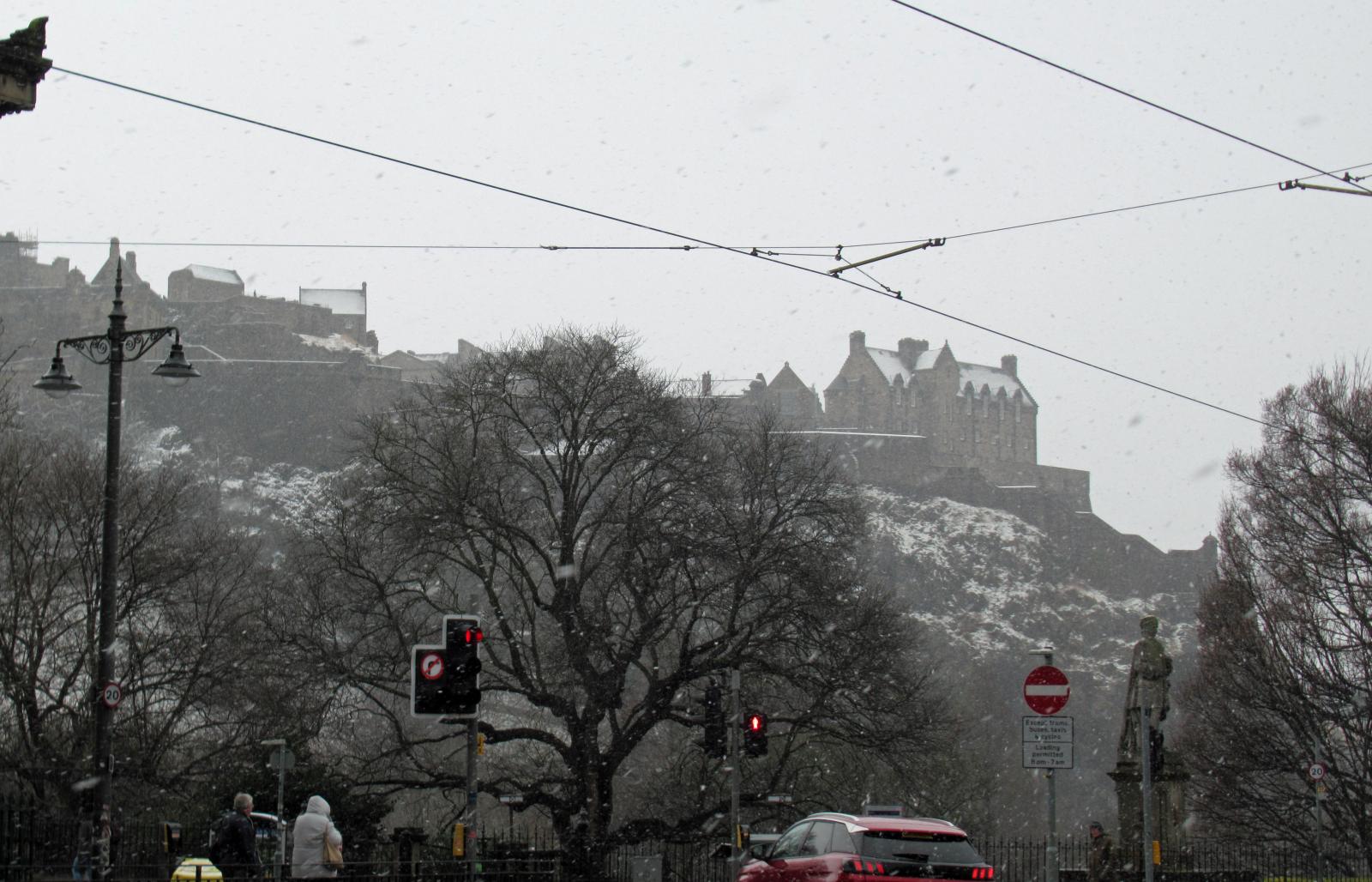 Yesterday in Edinburgh
Thursday did bring snow showers, with just a few flurries for SE England but cms for parts of Scotland and a morning covering of white. There were huge Cumulonimbus clouds giving hail and swirling snow which raced along the pavements and roads These have now faded but there is still ice to watch for.
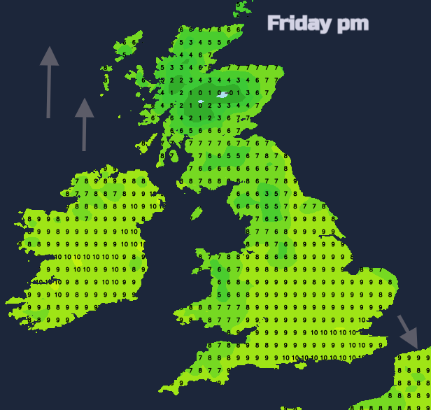
The cold air is still over the UK with clear skies and sunshine. Not as cold air is on the way from the west but there will be a frost tonight for SE Britain. Temperatures today will be 3 to 8C for Scotland, 8 or 9C for Northern Ireland, and then 8 to 12C for England and Wales with lighter winds, so feeling better for a fine Friday.
A warm front from the Iceland low will graze the NW of the UK with patchy rain, more cloud, and strengthening southerly winds. There will be snow for the mountains, but it becomes a milder night for much of Scotland and Northern Ireland and breezy. England and Wales look dry with lighter winds and frost for southern parts.
Tomorrow looks breezy in the southeast with sunshine and temperatures up in double figures thanks to the southerly flow. For Northern Ireland, western Wales and Scotland there will be fresh to strong southerly winds, more cloud but fair and sometimes bright. Temperatures of 9 or 10C but feeling cooler in the wind.
There is a balancing act with the high pressure away to the SE and the low away to the NW by Iceland. With brisk winds in between and a waving front lurking to the northwest and west of the UK. Through Saturday night the cold front, with line convection again, begins to edge into Co.Fermanagh, Co.Tyrone and also western Scotland. Cold and clear ahead of this, so again frost in places. It will be windy for a time.
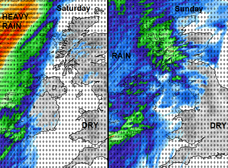
This cold front will fade and stall, with just more cloud and patchy rain for western Britain for a time. Fair elsewhere and still mild in the southerly flow. Later on, Sunday as a new low pressure moves in from the Atlantic, there will be patchy rain in the west to end the afternoon and the winds will strengthen. Again, it could be very wind with southerly gales for the northwest of the UK.
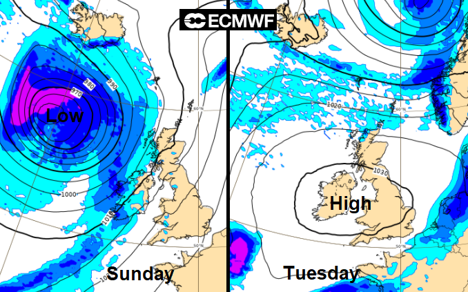
Wet and windy for Monday under the frontal band, which makes slow progress. Then high pressure builds in, gets interrupted midweek but should return.