Colder weather is making a comeback from today, and will be a regular visitor this week.
After the warmth we saw at the start of the year, it's all change now as cold air has arrived from the north, bringing with it the return of frosts and for those across the north of Scotland in particular, snow.
The overriding theme of the weather during the coming week will be a mobile one though, so although the colder conditions will be with us until midweek, swings from milder to colder will be the norm.
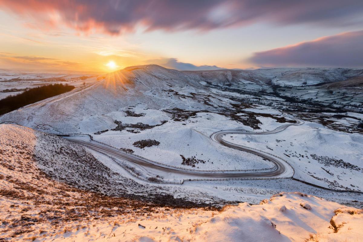
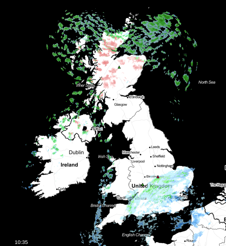
Today, the cold front which is bringing the change from a mild to a cold airmass is journeying south, with a band of rain, sleet and wet snow along it, as it clears through central and southern England. Further north, the colder air is already in situ, with wintry showers affecting parts of western England and Wales, and in particular, the northern half of Scotland. Here, there'll be some sizeable accumulations, with 15cm plus over the higher ground. There's a Met Office warning in place to cover this, lasting until tomorrow morning, at which point the showers will start to become fewer and further between.
Away from those more showery zones, and once the front has cleared through, there'll be plenty of sunshine breaking through. Those clearer skies will allow for a widespread frost to form overnight tonight though. The wintry showers will keep coming across the north and especially northeast of Scotland, also running through into Northwest England, Wales and perhaps parts of the Midlands.
A ridge of high pressure will ease in from the west during Wednesday, squashing the life out of many of the showers - but there'll still be a scattering around. It'll be another cold feeling day, with a sharp frost early and late.
By Thursday, the Atlantic will be starting to get involved again, with a weather front moving in from the west. As it bumps against the cold air, snow is likely across the higher ground in particular, for northern England and North Wales northwards. Much of that is likely to turn to rain later, but with colder air quickly making a comeback into Scotland, it may well be that any precipitation stays as snow, particularly on high ground, adding more to the already sizeable accumulations here.
As we get to the end of the week, the colder air will quickly head south again. There'll be the threat of further quite widespread sleet and snow showers, this time it's likely to be the northwest seeing the bulk of those in strong, gusting westerly winds.