29.7C in SW London yesterday but there is a fresher feel for more of the UK. The hot, humid air remains over SE Britain as thundery pulses head up from the south.
This week sees a balance of hot and humid air, mainly over SE Britain, and fresher conditions from the NW. Monday saw the hottest day of the year so far with 29.7C at Teddington, SW London (85F). There will be some manoeuvring over the next few days with an Atlantic low throwing its fronts in from the west, the Azores High building up towards Scotland but it is the arrival of thunderstorms from the south which will be the main event.
It’s been warm overnight for London and the far SE of England with temperatures staying in the mid-teens. Further north it is again a fresher start to the day but without the brisk west wind. Tuesday will be a fair day with bright or sunny spells. A fresh southerly will pick up for Northern Ireland and Scotland by this afternoon. In this southerly flow temperatures will be in the high teens to mid-twenties Celsius, so still warm in the strong sunshine but not as hot as yesterday in the south. Warmer though for Northern Ireland and the Central Belt of Scotland ahead of frontal rain approaching from the NW.
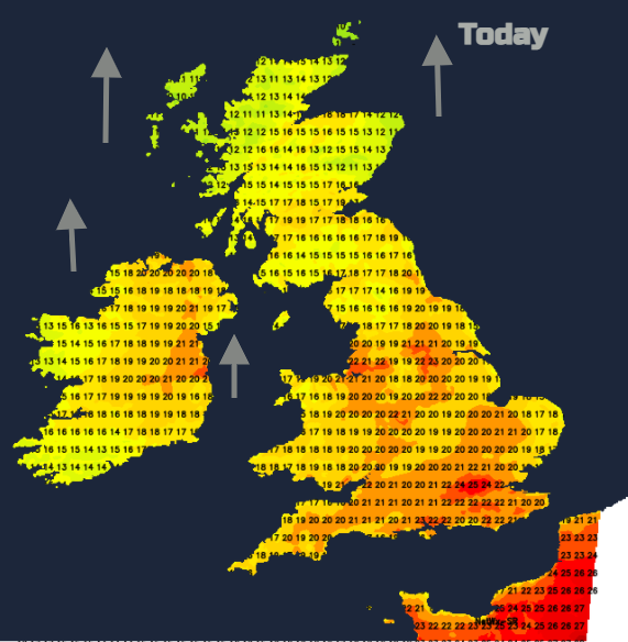
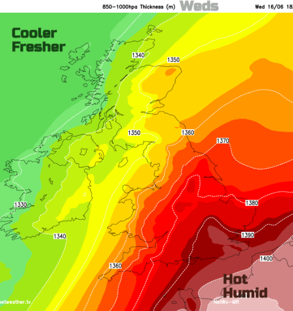
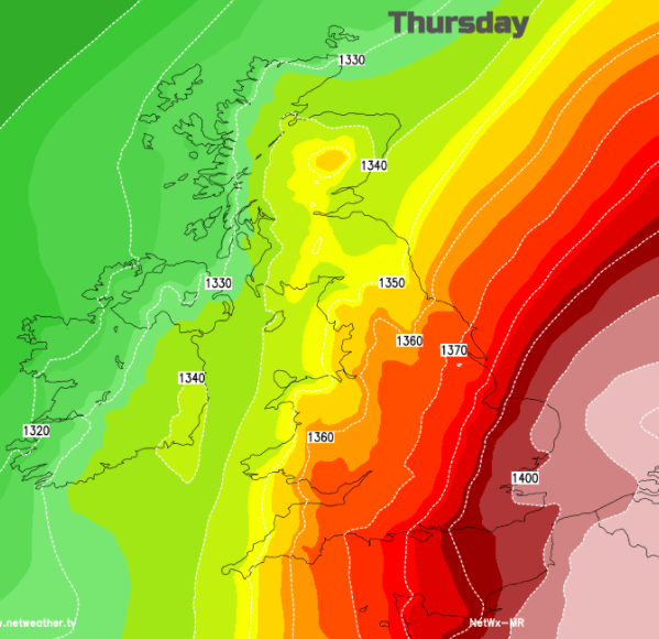
This frontal boundary remains an important feature even into the weekend. It will bring rain to Northern Ireland and western Scotland on Tuesday evening, more of northern Britain during Tuesday night. By Wednesday morning it will be weaker with a lot of cloud and patchy rain for NW England and north & west Wales. One side of this, temperatures will be in the high teens, on the other, it's back to the high 20sC. The hot and humid air clings on for East Anglia, London and the far SE of England into Thursday whereas it will feel a bit nippy for northern Britain by Friday night.
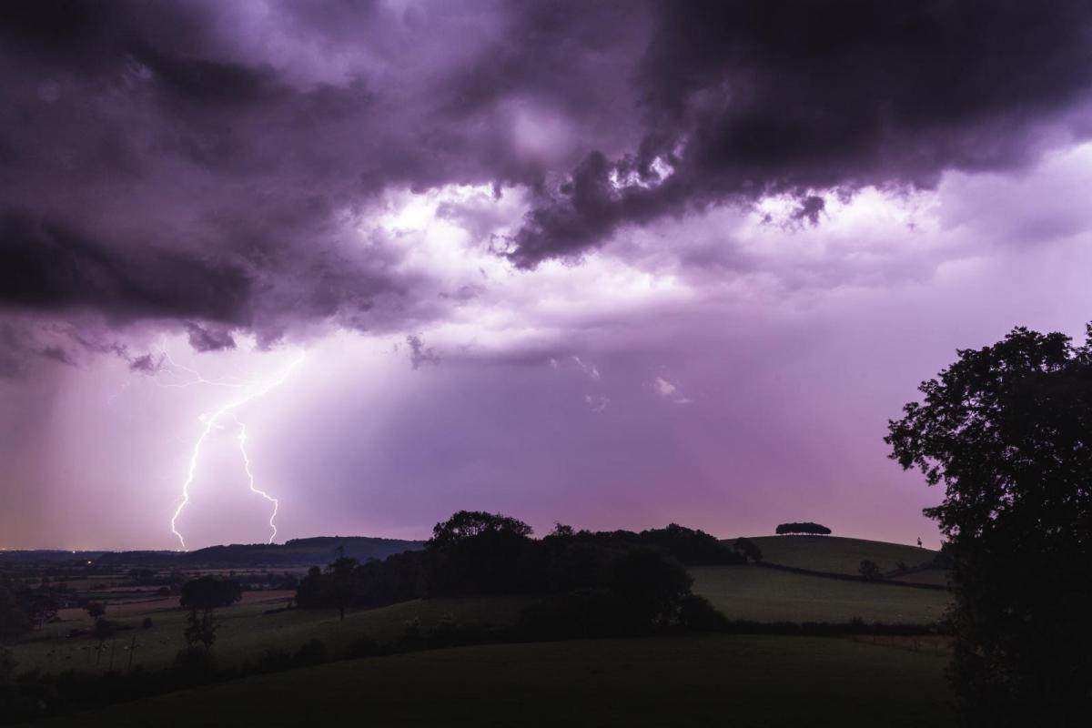
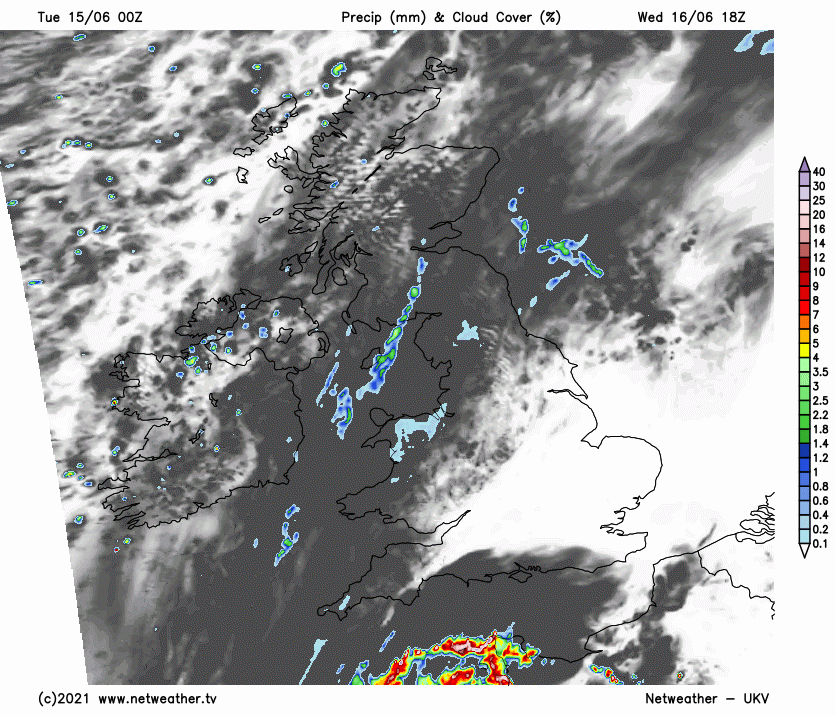
For the second part of the week, there is already a wide Thunderstorm warning from the Met Office. There is some uncertainty about the severity of the storms, how far east or west the main pulses will reach on their path northwards. Severe thunderstorms are expected, with the risk of damaging winds, frequent lightning and hail. The first cluster being Wednesday evening and overnight into Thursday. This will be a combination of elevated storms from Iberia and the Bay of Biscay and surface-based thunderstorms from northern France which look to cross the Channel.
“Rainfall totals of around 30 mm could fall in an hour, with some locations potentially receiving around 50 mm in 2-3 hours, although these will be fairly isolated.” MO warning
Some areas will miss the downpours others will see lightning in the distance. There is the risk of flooding from the sudden torrential downpours, possible disruption to power and travel by the morning. The winds over southern Britain have been light in this very warm, sunny weather. These storms could bring gusty winds so it might be worth some outdoor adjustments just in case.
The Wednesday night pulse moves north-eastwards and looks to still be over eastern England by Thursday morning with more heavy downpours and lightning. That should then clear away but there could be thunderstorms bubbling up in the hot, humid air over SE Britain later.
Another area moves up over SE Britain on Friday, with some heavy rain. High pressure will be over most of the UK by then with light winds, dry weather and the fresher air. A small low pressure develops along the frontal boundary over northern France. As this develops and heads NE, the threat of heavy showers and thunderstorms remains for SE Britain into the weekend, still linking back along the same frontal divide.