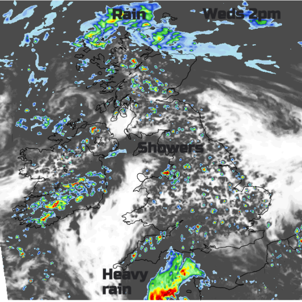
The mixed weather continues across the UK. Temperatures staying in the teens but there will be warm sunshine. Heavy downpours move by and the risk of thunderstorms remains.
Low pressure remains nearby for the rest of the week, bringing the chance of showers but bright spells in-between. Yesterday was a day of sunshine and showers with temperatures in London and Edinburgh were around 18C. May continues without any signs of real heat, but there is strong sunshine and the chance of a soaking. There have been thunderstorms already this week with a few still rumbling on in Northumberland this morning.
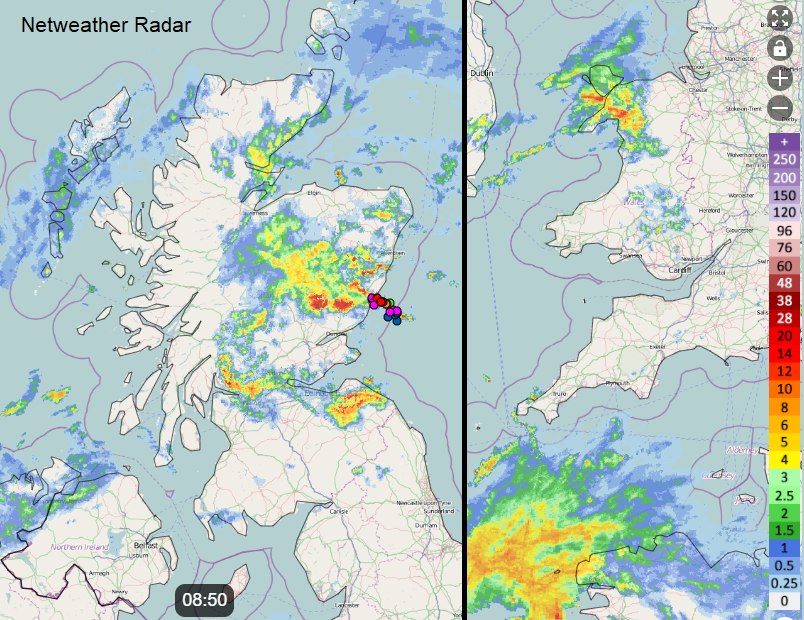
Netweather Radar showing Thunderstorm off eastern Scotland this morning and rain for Wales and SW approaches.
Yesterday’s rain is still over eastern Scotland and Northern Ireland this morning. Another band is reaching up through the Irish Sea and Wales. Further little low centres develop and swing by bringing clusters of heavy showers. The risk of hail and lightning remains, and with very light winds, the showers will be slow-moving. This could lead to increased surface water temporarily. There have been dramatic cloudscapes, rotation and hail in the lively showers.
There will be a lot of low cloud, murkiness and outbreaks of rain for northern Britain and northern counties of Northern Ireland. The showery rain band over Wales will reach the Isle of Man and swing towards Belfast by lunchtime. Showers break out again across Britain, although some areas miss them and see bright or sunny spells. The north coast of Devon and Somerset looks quite prone to downpours by this afternoon and a small circulation will continue to nudge up from the English Channel. This will bring cloud and rain to Hampshire and Dorset and, by this evening, a cool north wind to the Channel Islands.
Temperatures today range from low to high teens. The winds will be very light, so any showers will be slow-moving. There will be a brisk easterly wind for the far north of Scotland around the rain which lingers into the evening. Any lingering showers fade as darkness falls but the area of wet weather in the south will affect central-southern England, the Channel Islands and northern France.
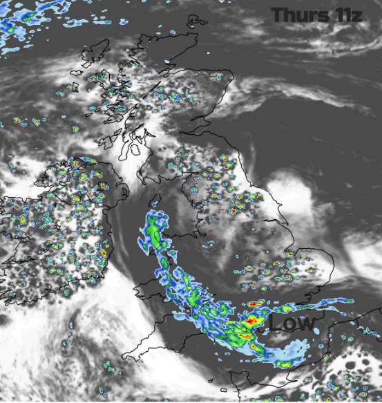
Thursday
The showery rain swings into the eastern Channel overnight, with rain continuing for Hampshire but outbreaks along the coast of Sussex and Kent. Rain will also extend across the Bristol Channel into Wales.
Northern Scotland will be drier but there will be a scattering of showers once more for inland Britain. The risk of heavy showers and thunderstorms for Northern Ireland away from eastern counties. There will be great contrasts with sunshine appearing for North Sea coasts but heavy showers developing for Wales and inland southern England. The whole lot rotating around the small low centred over Sussex. There is some uncertainty about the rainfall positioning, so it would be better to take a wider view and look at the radar rather than rigidly following hourly symbols on a weather app.
Later on Thursday, there will be a lot of low cloud over eastern areas as cloud moves in off the North Sea. A quieter day on Friday, although with a lot of cloud and then back to heavier showers for the weekend. Northern Scotland looks to escape most of these and temperatures remain in the teens across the UK.