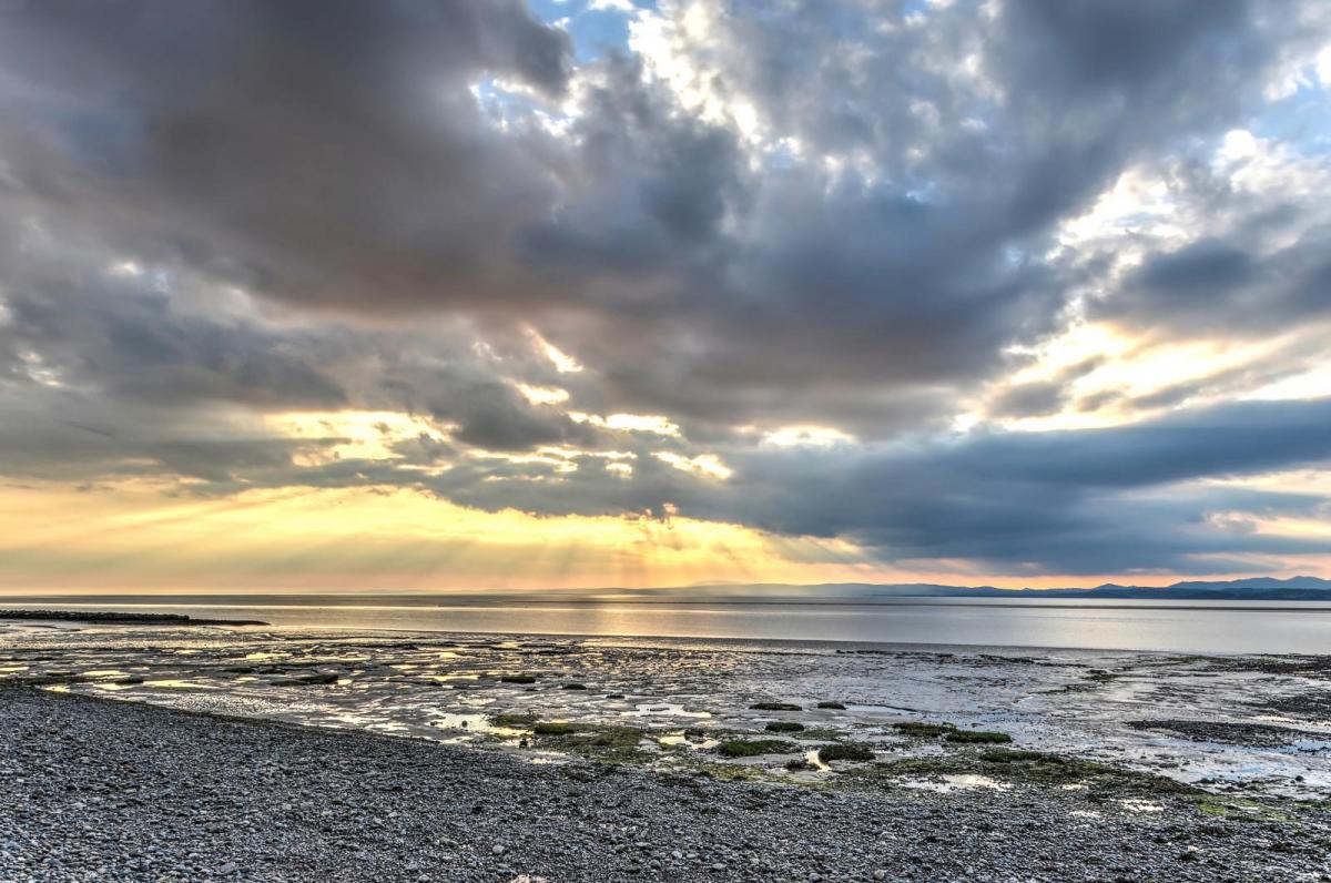
Although high pressure will be close to the west, bringing some pleasant sunshine in the west, cloud and rain will affect the east today. Mostly dry Friday and through the weekend, but cloudy for some.
High pressure will be close the west of the UK as we head towards the end of the week – which means for most it will stay dry today and tomorrow. However, a nuisance weather front running down the North Sea on the eastern periphery of the high will bring cloudier skies and some rain to eastern England today. While on Friday it will be rather cloudy across many areas, though the southeast sunny. High pressure still close enough to influence our weather through the weekend too, but like the next few days it will be a case of chasing the sunshine. Best of the sunshine perhaps across the northeast on Saturday, Sunday seeing a fair bit of cloud too though perhaps a better chance of seeing some sunny spells for more areas. Most places will remain dry throughout the weekend though.
It’s a chilly start this morning, so worth wrapping up if you are out on the school run. There is even a touch of frost in places, temperatures close to freezing across parts of SW England, south Wales and Scottish Borders.

After the chilly start, central and southern Scotland, Wales and western parts of England should see the best of the sunshine and feel pleasantly warm in the sun this afternoon. In contrast, much of central and eastern England will turn cloudy and breezy after a bright and chilly start, with rain spreading south from late morning and through the afternoon, most persistent across SE England and East Anglia, patchy across the Midlands.
Where the sunshine comes out we could hit 14-15C, maybe 16C across the Central Belt of Scotland and similar temperatures through the Severn Valley in the southwest, 11-13C elsewhere across the west. Cooler across the east and far north of Scotland where it’ll be cloudier, temperatures reaching 8-10C.
Cloudy across many areas tonight, though some clear spells in the far west, central and southern Scotland. Showery rain continuing to affect SE England and East Anglia, though eventually easing and clearing later in the night. Some patchy drizzle possible elsewhere. Generally temperatures staying well above freezing, falling between 4-8C.
A bit of a reversal of fortunes compared to today in the where the cloud will be on Friday. Extensive cloud across northern, central and western areas – with some patchy light rain or drizzle feeding down across northern England and down through the Midlands, perhaps some drizzle elsewhere. A brisk northeasterly breeze bringing colder and drier air towards the southeast will bring brighter skies with sunny spells across SE England and East Anglia though. Cold towards coasts of SE England and East Anglia with the onshore wind off the North Sea, temperatures 7-8C at best despite the sunshine. Elsewhere, 9-13C – temperatures highest towards the west.

Saturday is looking dry for most but generally cloudy, best chance of clearer skies and sunshine across NE England and eastern Scotland, though a few breaks in the cloud elsewhere could allow some glimpses of sunshine. Chance of some patchy rain and gusty winds arriving across northern Scotland later in the day. Temperatures reaching 10-12C at best.
With high pressure still in control, Sunday mostly dry again, variable amounts of cloud and perhaps a better chance of some sunny spells for most compared to Saturday. Temperatures will be similar to Saturday.
High pressure holding on across the south early next week, bringing mostly dry conditions here on Monday and Tuesday, but cloudy at times, - particularly in the west, with patchy drizzle possible over western hills, best of the brightness towards SE England. Northern areas will probably be generally cloudy, with some patchy rain at times as weakening Atlantic fronts move through, rain more persistent at times in the far northwest. Some uncertainty from mid-week, with model differences increasing, but the trend maybe turning more unsettled from the west, with spells of rain moving in across most areas at times and turning windier too, but also some drier and brighter spells.