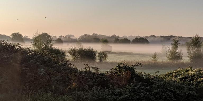
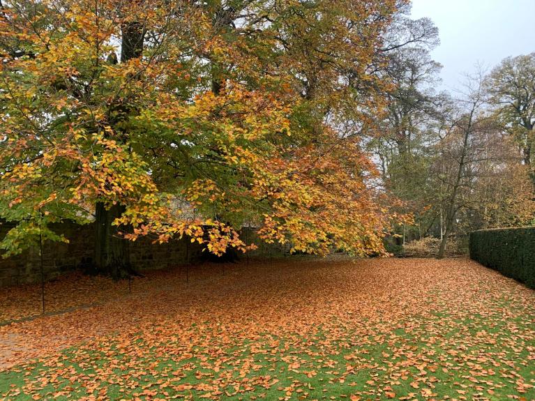
It’s getting chilly this week, a cool NE wind and temperatures dropping well down into single figures by night. There is the risk of frost, for some as the autumn leaves begin to change colour.
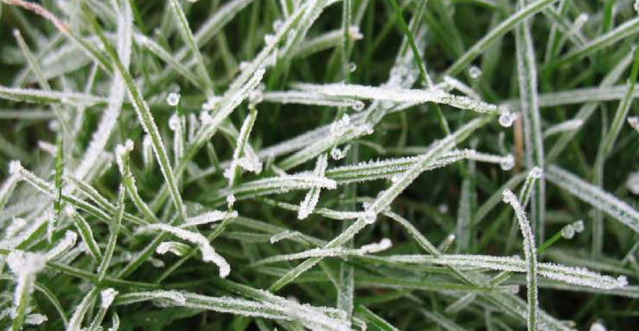
For frost to form air temperatures of less than 5C are needed. Clear skies and light winds heighten the likelihood as we move through autumn into the winter months. This would be a ground frost, when the temperature on a surface, such as grass or your car, falls below zero. The air can’t be too dry, there has to be some moisture to form the frost. When the air temperature falls to zero or below it’s an air frost and you may hear forecasters talking about frost on the grass or an air frost.
“An air frost is usually defined as the air temperature being below the freezing point of water at a height of at least one metre above the ground.”
During these transition months, not in the depths of winter, rural spots can be colder than towns and cities and so more likely to see a frost. Grass verges lose heat more quickly than tarmac road surfaces. There are also frost hollows, sheltered countryside spots known for seeing low temperatures when frost might not be widespread.
Under clear skies, any warmth from the day just escapes away, radiative cooling. Patchy cloud can make forecasting of surface temperatures tricky, ask any winter road forecaster. As the weather gets colder there is the risk of ice, sometimes as temperatures fall after showers or rain, or just lingering dampness or seepage on roads. Cloud cover acts as a blanket and can stop temperatures falling away, as can the formation of fog.
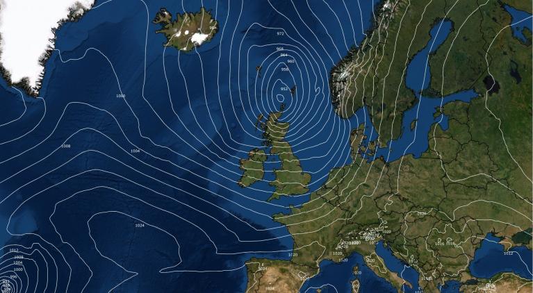
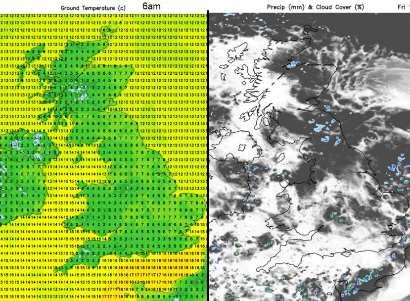
If a breeze picks up or continues overnight, this can stir the air enough to stop temperatures from dropping away. Although there is high pressure dominating our UK weather for the second half of this week, there is still enough of a NE breeze to keep the air moving for eastern and SE counties. Still air enables a thin layer of colder air to develop at the surface. As cold, dense air settles in dips and valleys these sheltered areas also can see a frost earlier in the season or sometimes fog. Scotland often gets frosts first but this week the risk appears for northern and western parts of the UK, where the clearer skies are, away from the feed of low cloud off the North Sea.
The hours of warming daylight are reducing now. As we have passed the Equinox there is more darkness, time for heat to radiate away. The suns rays are weaker, having further to travel as the northern hemisphere tilts away. The rest of this week stays cool, mostly dry thanks to high pressure. With light winds and more cloud from the North Sea there are still clear spells possible for central Britain and more chance of frost under the clearer skies for western Britain and Northern Ireland.
Loading recent activity...