The weather isn't quite going to be able to make up its mind during the upcoming week, with high pressure doing what it can to ridge up from the southwest, but low pressure never too far away from the north and northwest of the country.
The weather isn't quite going to be able to make up its mind during the upcoming week, with high pressure doing what it can to ridge up from the southwest, but low pressure never too far away from the north and northwest of the country. That's going to mean a not uncommon theme, the good old northwest to southeast split. The majority of the wetter, windier weather will affect the north and west, with those further southeast seeing more in the way of dry, fine and at times warm weather.
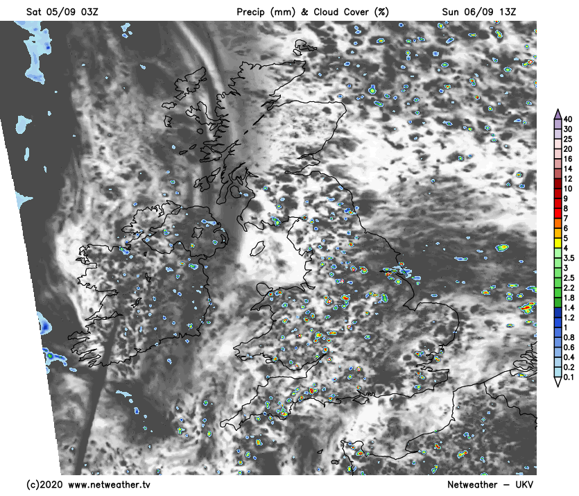
This weekend has started in that style as well, with sunny spells and a scattering of showers. These are going to be most frequent in the north and west, with some southern and southeastern parts likely to miss them altogether. It'll be breezy just about everywhere, and those winds are blowing in from a relatively cool west or northwesterly direction which will keep a lid on the temperatures. Southern regions are likely to reach 18-19c, but 14-17c will be about the limit elsewhere.
Sunday will buck the trend as any showers in the north will tend to die out early on, leaving Scotland and the far north of England will a mainly dry day once they do. Elsewhere, there'll be some sharp downpours about - all moving northwest to southeast before easing during the evening.
Temperatures are likely to be close to Saturday's but a degree or so warmer in places - with the odd 20c possible in the south.
Later in the evening and overnight, a weather front will make its way into the northwest, bringing rain with it as winds strengthen from the southwest. Some of that rain is going to be heavy in the west, but it is going to move south quite quickly. Some heavier bursts will remain in the west as it moves through England and Wales during Monday, but those further east are likely to stay mostly, if not entirely dry.
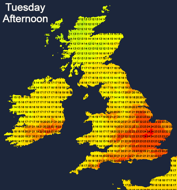
That should have cleared through into Tuesday to leave England and Wales with some warm sunshine and temperatures head up into the high teens or twenties. Another front will move into Scotland and perhaps also Northern Ireland though, bringing outbreaks of rain, which are liable to become heavier as the day wears on. That will then slide southeast into midweek, but as it runs into the high pressure further south, it'll fade quickly to become little more than a band of cloud by the time it reaches southern England.
Behind it will be cooler and fresher weather with sunny spells and just a scattering of showers which will be most frequent in the northwest. Temperatures by day will typically make it up into the mid or high teens, but they'll drop away overnight with some mist of fog patches possible. That's how it's likely to stay until later in the week - at which point another front is set to try to move down from the northwest.