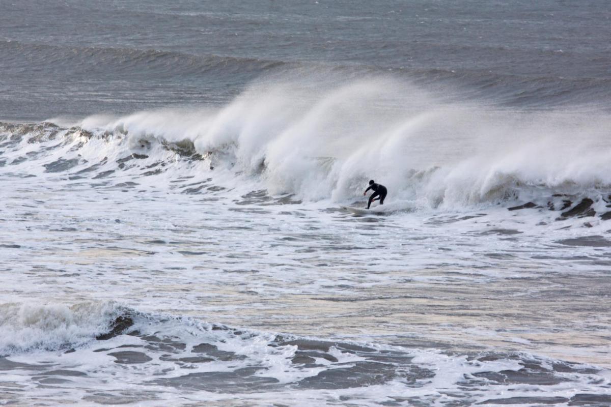
The weather won't be as hot this week and there are blustery winds bringing outbreaks of rain and heavy showers this week. The summer holidays are starting in parts of the UK, it had to rain.
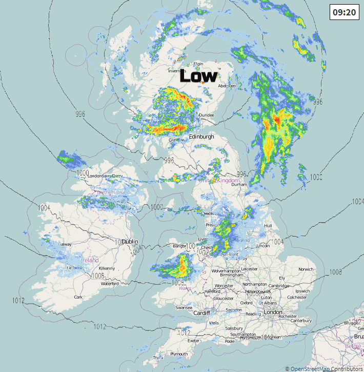
The weekend low pressure is still over northern Scotland, bringing blustery winds to the UK and pulses of heavy rain this morning. Southern England will be drier and brighter with an improvement for Northern Ireland this afternoon. There are flood alerts in Scotland for surface water flooding after heavy rain at the weekend.
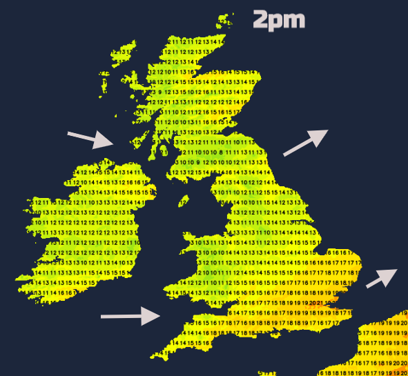
It’s feeling cooler now. Temperatures were mostly in the high teens on Sunday, with Heathrow reaching 22C. Quite a drop from the 30s Celsius of last week. This week the highest temperatures look to be in the mid-twenties for SE England and high teens/low 20sC for much of the UK. As the low pressure finally moves away towards Scandinavia there will be a flow of fresher air from the north for the middle of the week.
Today
The heaviest rain continues for Scotland, Wales and NW England. The winds are light near the centre of the low, so over northern Scotland this morning and then Grampian as it edges eastwards. Here however there could be some heavy even thundery slow-moving showers. For much of the UK, there will be a moderate to fresh westerly flow. There will be areas that miss much of the showery rain, with bands of rain and then gaps swirling around the low.
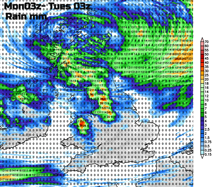
On the forecast rain map for today, you can see the drier areas over southern Britain, and NE England with some shelter to the lee of the Pennines and the heavier rain over Snowdonia.
The wind and rain ease down tonight, although still with a few showers. A new low pressure heads towards SW England bringing rain along the English Channel and to Cornwall and Devon by Tuesday morning. Southern England becomes more cloudy and damp as frontal bands drape themselves east-west and clusters of showers reach the eastern Channel by the afternoon. Ahead of that, there will be brighter spells and some warmth with East Anglia up to 21C. A grey day for Northern Ireland, Wales and much of England with dampness in the westerly flow but with lighter winds. A more northerly breeze will work down from northern Scotland and showers will appear along convergence zones, with the risk of some sharp downpours as temperatures move into the mid to high teens.
The grass pollen is still high for SE England but moderate to low elsewhere. Even with the cooler, blustery weather the sun is still strong, you just might not notice without the heat. Air pollution levels are now forecast to be low after moderate to high levels were recorded last week, particularly of Ozone.
By Wednesday, there could be heavy showers breaking out for England, southern Scotland and Wales, with a small chance of a thunderstorm. Northern Ireland will be unsettled with more cloud and showery rain. Temperatures still in the teens or low 20sC with fresher air in the far north but more humid air for the far south. The heavier showers push southwards later in the day as cooler fresher air moves down from the north. Wednesday night looks noticeably cooler for Northern Ireland and Scotland. It’s school holidays here now so if there are back garden camping plans be aware of this dip in temperatures.
The rest of the week stays unsettled becoming blustery again by Friday, into the weekend.