


Away from the cool breeze over SE Britain, many other parts of the UK are warming up this week and there will be heat and humidity for the south by Friday. A look at Ensemble forecast outputs for the trends of this week into the weekend
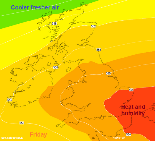
The air over the UK has been cool recently, mainly coming in from the West off the cool north Atlantic. For real heat at this time of year we need a flow of air off the continent. Last Friday, Europe provide that as the SE felt heat and humidity and saw temperatures up to 26.7C (80F) in Kent. It was also the day of the thunderstorms. This Friday looks like providing a repeat performance but with some shifts in the downpours and a sharing of the warmth.
This week there is a shift in the winds, with a brisk breeze blowing off the North Sea. This is affecting eastern England, particularly East Anglia and Kent, the SE, southern England and the Channel Islands. The sea at this time of year is still relatively cool and so SE Britain isn’t feeling that warm currently. These winds will last over the next few days but some very warm and humid air is going to move up from the south so it will feel quite bizarre by Friday with a blustery heat
Scotland is warming up nicely, which makes a change. The last warm days were back around 23rd April when Perthshire reached 22.9C. Central Scotland could get close to that on Thursday.
However anyone holding out hope for the weekend will be disappointed as it is turning cooler from the north
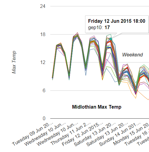
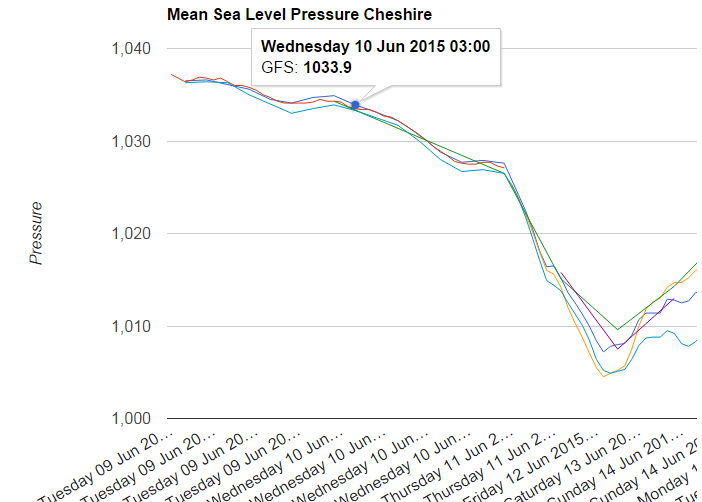
This squiggly plot shows the range of maximum temperatures forecast at 06, 12 18 and 00z each day. Ensemble forecasts change initial parameters slightly with each run and then look at the patterns from the output. One clear trend is for a cooler weekend. Several of the runs for Weds and Thurs show temperatures in the Central belt in the high teens. Friday is much more varied, which is partly because it is one day further away and output always diverges, but also there is thundery rain moving up from the south with low confidence and that is causing greater output differences. Have a look in Netweather Extra at the Beta Ensemble Graph option
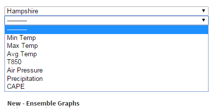
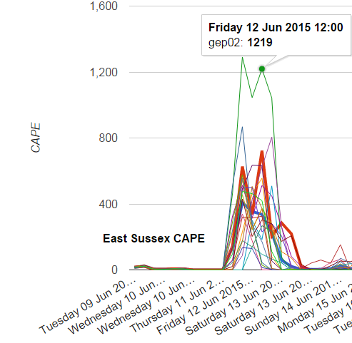
Choose a county and then a weather parameter
CAPE is Convective Available Potential Energy and a significant factor when forecasting thunderstorms. So Friday in the south you can see the obvious potential energy available for convection, and that is CB clouds going up. Nothing showing for East Sussex before that.
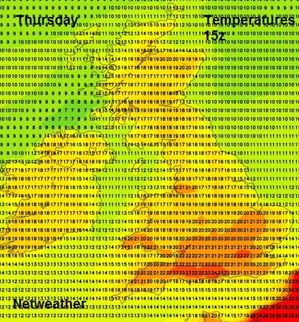
Manchester could see temperatures of 21/22C by Thursday, even warmer on Friday, if the thundery downpours stay away. High pressure will have bought some fine weather to NW England midweek but the change to low pressure and more unsettled conditions approaches at the weekend. And temperaatures of only 15C.
New Beta - Ensemble Graphs are in the Forecast Model data section of Netweather Extra


