


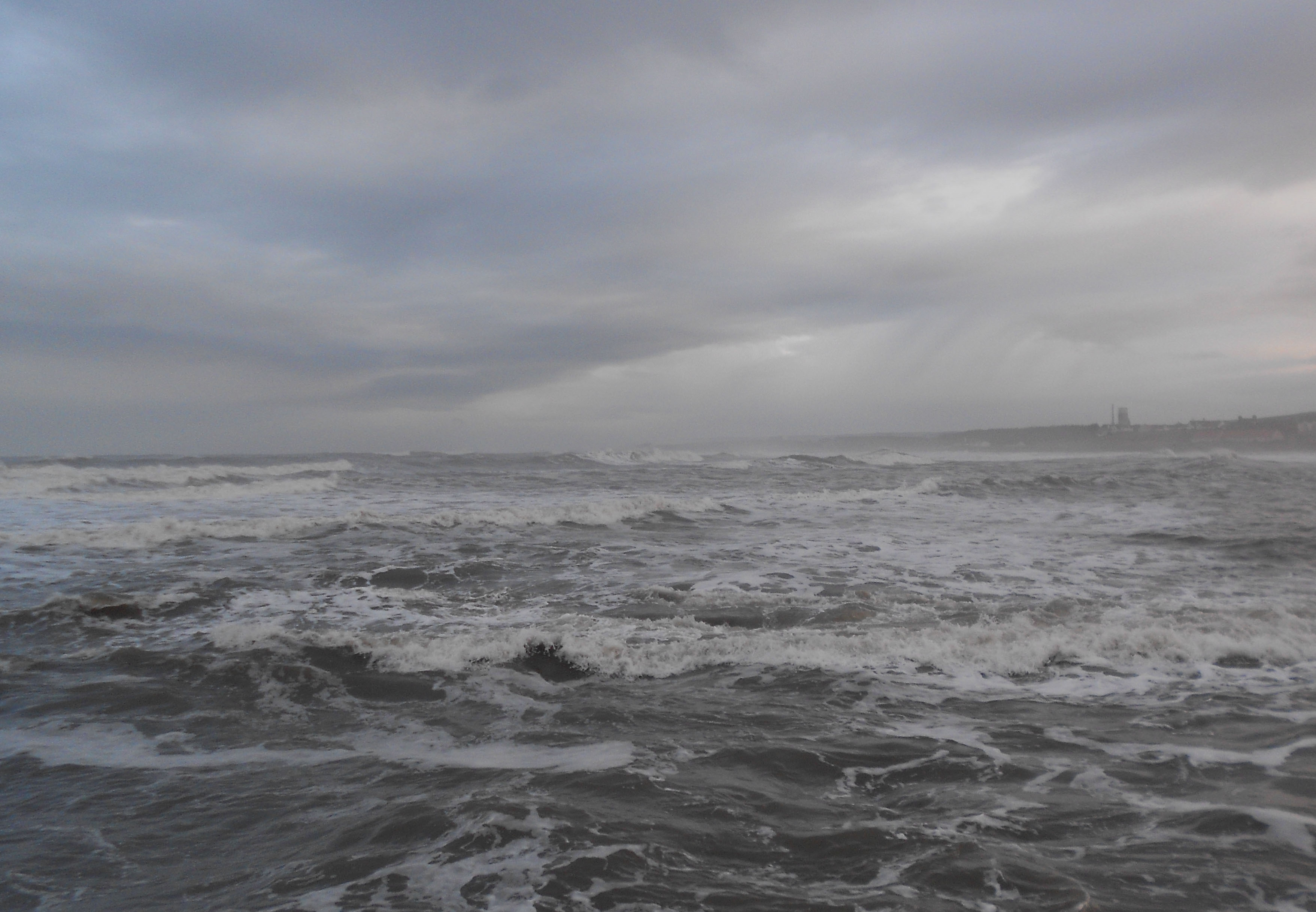
After such a windy start to the week, the blustery conditions are easing. Another day of sunny spells and sharp showers, then rain
That’s enough thank you, very windy end to March! Let’s get going with something less wild for the new month. If you’ve had enough of the past few very windy days, we are heading into a spell of more settled weather. There is a blip on Good Friday but the weekend is still looking fair and settled and the winds will ease off later today.
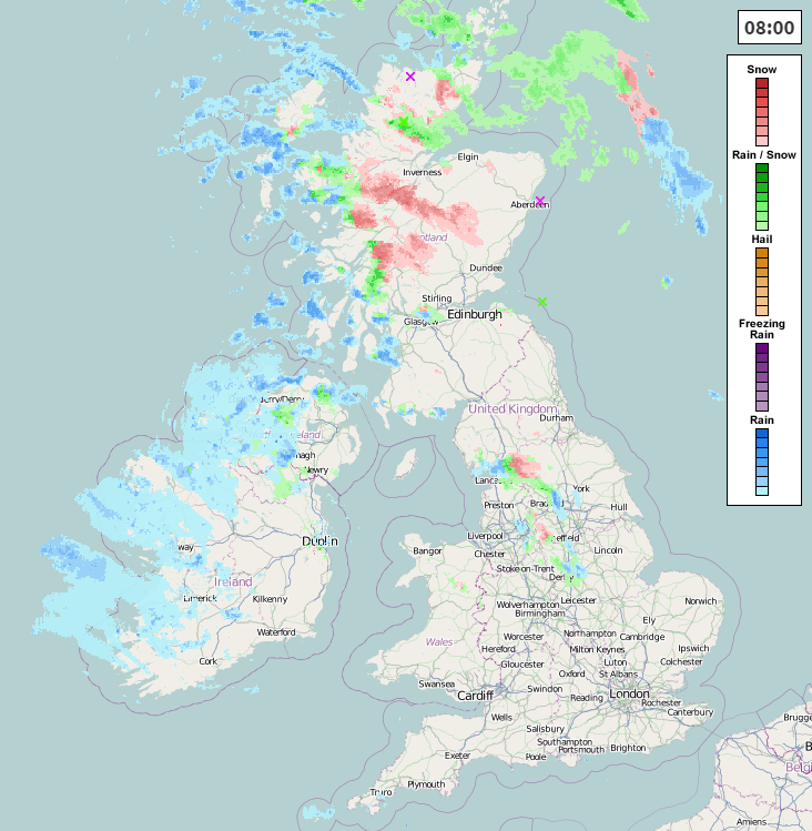
There are still showers about this morning with a wintry mix. The sharp downpours are mainly over Scotland, N.Ireland and NW England with sleet, hail and snow. Elsewhere there are sunny spells and still a blustery west wind making it feel cool. The winds will ease down for N.Ireland this afternoon and for Britain this evening
A warm front will move towards Ireland today bringing cloud and rain. Heavy and wintry showers continue for N.Scotland with a scattering for S.Scotland and N.England. All these areas will struggle to reach 7C but for SE Britain we could see 10C in the sunshine. Wales and SW Britain will see more cloud up to 8 or 9C with rain for W.Wales.
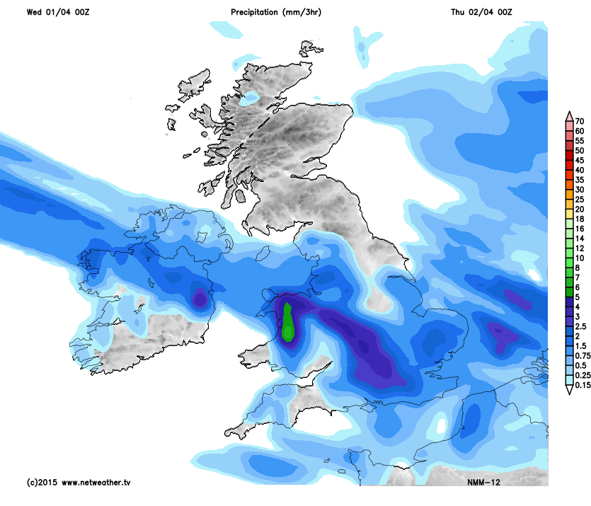
Overnight the front waves through N.Ireland and Wales bringing some heavier pulses of rain. England also turns wet with a lot of cloud but the frontal rain moves southwards and northern Britain sees clear skies and lighter wind. There will be a frost and ice risk for inland Scotland and N.England as temperatures fall to -3C. N.Ireland, N&C Wales, the Midlands and E.Anglia also turn colder down to +2C. SW Britain keeps in the mild air with +7C likely although with a brisk West wind and the rain.
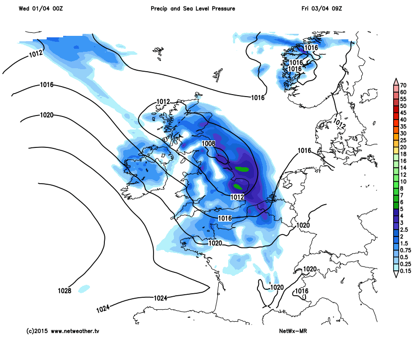
During Thursday the snow showers for northern Scotland finally fade, should be a lovely weekend’s skiing. The morning will start off dry, calm and bright for much of Britain but the front in the southwest will begin to move back NE. So turning grey and damp for N.Ireland, Wales and SW England. Timings on a waving front can be a bit tricky, so Scotland could see a touch of frost as the rest of the UK becomes mild and wet. As the front pushes across Scotland there could be snow for a time as it hits the cold air. There will be heavy rain as the cold front moves over N.Ireland, W.Scotland, Wales and NW England during Thursday night.
Good Friday could start off very wet but the rain will soon clear off into the North Sea. A cool showery flow will follow with a brisk NW wind and temperatures will be between 7 and 10C.
Then after a cool night, the winds will be light as high pressure builds for Saturday. England and Wales will have a lot of dry weather with sunshine for E.England. A weather front will move over N.Scotland and bring cloud and damp weather to N.Ireland and N.Britain. This now looks like draping itself down eastern Britain on Easter Sunday. With a lot of cloud the temperatures will be affected, only 10 or 11C showing up for western parts and lower in the east. The weekend isn’t a washout but there could be cool breezes off the North Sea, a fair amount of cloud and nothing special with the temperatures. Monday still looks like bringing some cheery sunshine.


