


Jo Farrow
-
Posts
3,387 -
Joined
-
Last visited
-
Days Won
4
Content Type
Forums
Blogs
Gallery
Events
Learn About Weather and Meteorology
Community guides
Article Comments posted by Jo Farrow
-
-
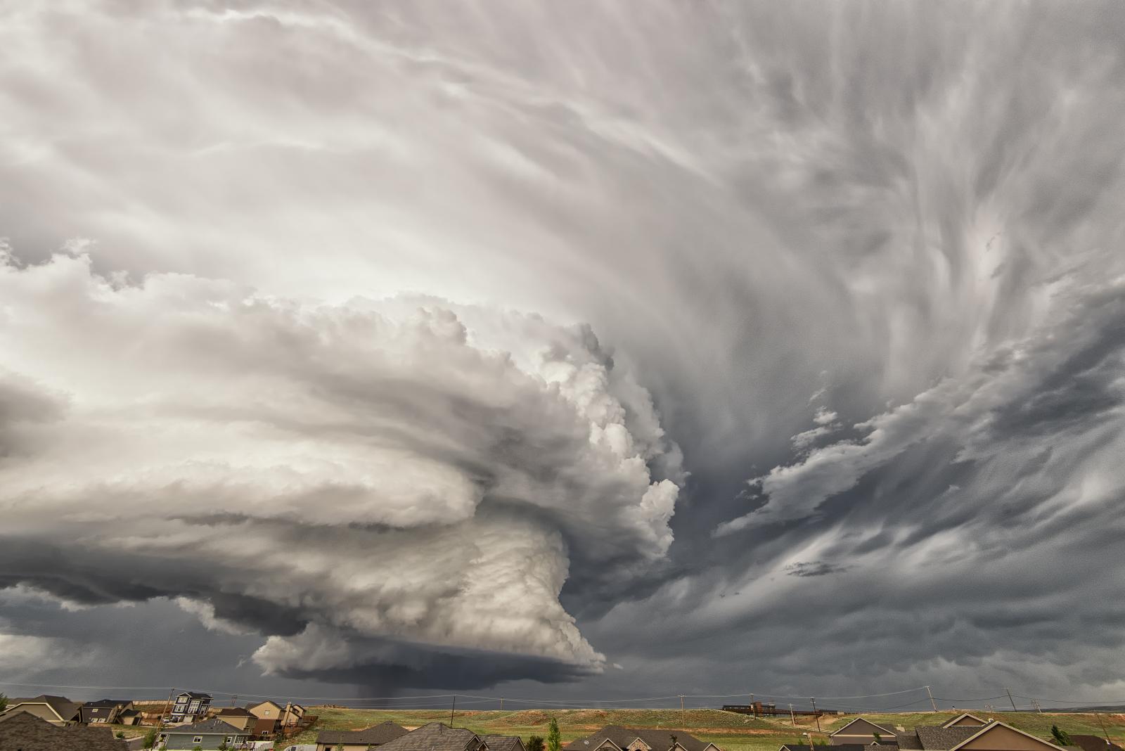
A look at cloud identification, shapes - lumpy, wispy, or layer, and height. Naming and phenomenon, such as haloes. And those that look like jellyfish or ghosts.
 The Ultimate Guide To Cloud Types
WWW.NETWEATHER.TVAn identification guide for cloud types, more understanding and knowledge for your Instagram photos with an extra hashtag or maybe just to enable the joy of Cloud Spotting.
The Ultimate Guide To Cloud Types
WWW.NETWEATHER.TVAn identification guide for cloud types, more understanding and knowledge for your Instagram photos with an extra hashtag or maybe just to enable the joy of Cloud Spotting. -
More detail
What are Noctilucent clouds? Also known as NLCs or Polar Mesospheric Clouds PMCs - Blog by Jo Farrow
WWW.NETWEATHER.TVNight Shining NLCs, Noctilucent clouds are the highest clouds in our atmosphere. Rare and beautiful enough to cause... -
Met Office Climate - The icing days index is a count of days for which the daily maximum temperature is below 0oC, rather than weather extremes - air frost days that are days with a daily minimum temperature below 0oC.this index is also a count of days.
-
10 hours ago, Mapantz said:
I was just wondering why the louvres are white inside? According to the Met Office standard, they are supposed to be black?!
Great article though.

Some chat here about inside colour,


Cloud Types
-
-
-
-
-
in The Basics
Posted
Beautiful satellite image from Sunday 27th March 2022. Clear skies for many after a week of fine, settled weather and high pressure. Drift now more off cool North Sea rather than drier continent, giving low cloud inland England. It was a much cooler day under that cloud. Fire on Western Isles (Anthrax) Gruinard Island with smoke showing in west breeze, Cairngorm snow just holding on over the tops. Haar or seafret clinging to east coast, it was further inland to start the day with very poor visibility. Bit of lift over the Southern Uplands allowing Cumulus to develop, you can see the dark shadows (which snow doesn't have).
Easterly breeze reaching across Wales and setting off undulations, the ripples in the cloud, and brighter skies.
the unnatural looking straight lines in the North Sea could be boat trails through the low cloud sitting just over the surface, or contrails. This is a visible satellite pic, an InfraRed one would pick up temperatures of clouds so Contrails (being higher, colder cloud) would stand out, but not the seafog.