
The May Day bank holiday weekend approaches, any sign of some warmer weather?
It's traditional for our holiday weekends to be a bit hit and miss, but snow, frost, wind chill and wintry showers aren't something you'd usually associate with run up to the May Day bank holiday weekend.
That's where we're at right now though, with winds from the Arctic joining us this week, and even once they subside a bit after midweek, the chilly, showery conditions will continue right up to the end of the week.
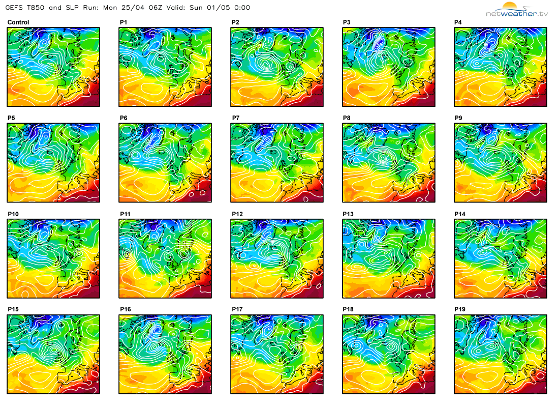
For the weekend itself, we've got a bit of uncertainty over the detail at this range, but if you're expecting a sudden switch to a heatwave I'd probably look away now. The overall picture is set to be an unsettled and still cool one, although turning a bit closer to normal than we've seen of late - particularly in the south. Low pressure is likely to be the main driver, so expect further showers, and one or two longer spells of rain moving through, but in between them there should at least be some bright or sunny spells to be had.
Sorry not to bring better news, on the upside there's time for the detail to change though, and we'll start to hone in on those during the coming days, so check back for updates. Don't forget too, that you can check your local hour-by-hour weather forecast here.


