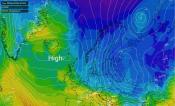
Storm Risk Maps
Our storm risk maps use a large range of factors to show a percentage risk of storms across the UK - from here you can view the stratosphere temperature forecast right out to 16 days in 3 hour timesteps. Just click the arrow buttons or drag the slider to view the forecasts for different times, or click the animate button to view an animation of the current forecast.