After what can only be described as a soaking first half of December, the weather pattern has shifted. High pressure centred over Scandinavia is now calling the shots, effectively blocking the Atlantic's conveyor belt of rain-bearing systems from reaching our shores. For most of the country, that means a dry run through to New Year, though you'll want to keep the heavy coat handy rather than the umbrella.
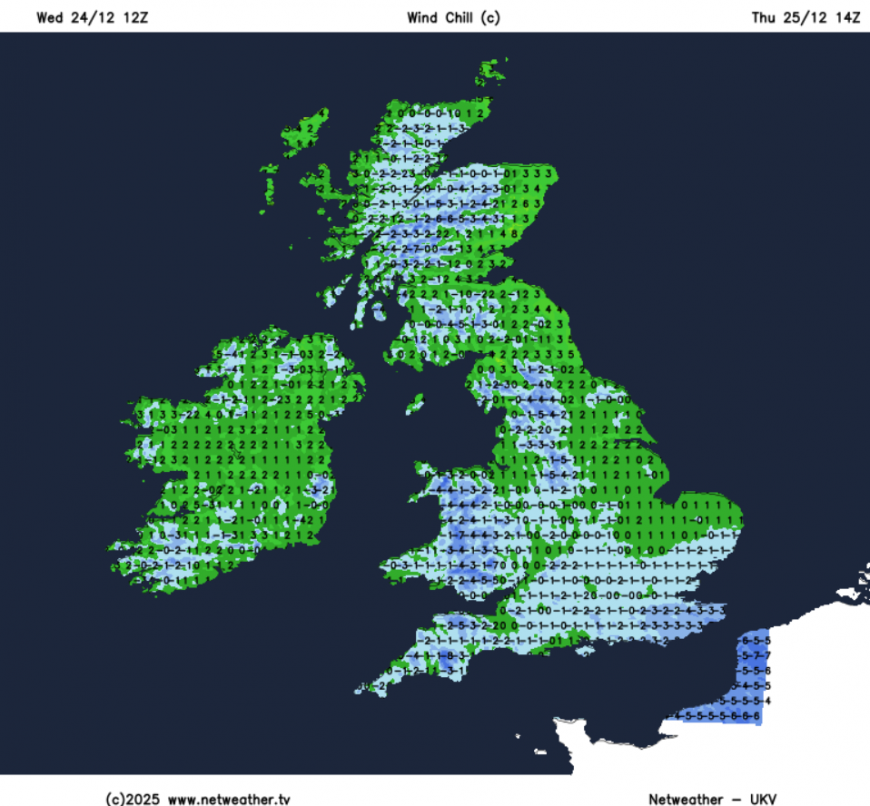
The Met Office has this afternoon issued a Yellow warning for wind covering South West England and Wales on Christmas Day. East to northeasterly winds will gust to 45-55 mph fairly widely across the warning area, with exposed coasts and the lee side of prominent hills seeing gusts of 55-65 mph. Cornwall, Devon, Somerset, and much of Wales should expect the strongest winds, which may cause some travel disruption and could affect power supplies in places. Coastal communities will need to be mindful of large waves and spray, not ideal conditions for the traditional Christmas Day dip.
For the rest of the country, the day will be dry with variable cloud. There's a notable contrast between east and west: the North Sea will feed a grey overcast into Norfolk, Suffolk, and the eastern coastline, while western Scotland and Northern Ireland enjoy the best of any sunshine. Temperatures will struggle, reaching perhaps 4C to 7C, but the easterly breeze, particularly brisk across southern England, will make it feel closer to freezing. If you're heading out for a Christmas morning walk, wrap up accordingly.
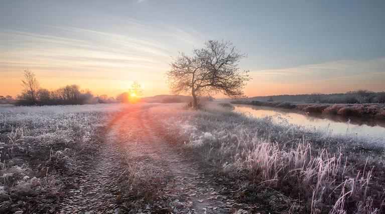
The chance of a white Christmas remains slim. There is a small possibility of light showers across the South West during the day, and any precipitation falling over higher ground could include sleet or snow. But accumulations are unlikely, and for the vast majority it will be a dry, frosty affair.
Temperatures will drop sharply after dark on Christmas evening, setting up a widespread frost by Boxing Day morning. Rural areas away from the coast will see sub-zero temperatures overnight, with ice forming on untreated surfaces. The day itself looks dry and settled, ideal for a Boxing Day ramble if you can face the cold.
By Saturday and Sunday, the high pressure tightens its grip further. Winds will ease inland, which sounds pleasant until you consider what that allows: fog. The Midlands are particularly susceptible, including the Vale of York and anywhere with sheltered low ground where cold air can pool overnight. Morning fog could be slow to clear, so if you're driving through these areas over the weekend, allow extra time and be prepared for sudden reductions in visibility.
Away from any fog, Sunday could be a genuinely pleasant winter's day, with decent spells of sunshine across Scotland and the north.
The blocking high shows no signs of budging as December closes out. Models are in good agreement that the colder theme will persist through to New Year's Eve and beyond.
Late in the week, there are signs the high may edge westward, allowing winds to back more northerly. This could introduce the chance of wintry showers to North Sea coasts, particularly eastern Scotland and north-east England, though for most, it's likely to stay cold and dry.
Loading recent activity...