


Ben Sainsbury
-
Posts
2,341 -
Joined
-
Last visited
-
Days Won
1
Content Type
Forums
Blogs
Gallery
Events
Learn About Weather and Meteorology
Community guides
Posts posted by Ben Sainsbury
-
-
4 hours ago, Flash bang flash bang etc said:
You can’t be angry with warm or hot. This year will be a picnic compared with what’s to come.
Was reading about the Gulf Stream and potential for it to stop. If it does we will have a much cooler climate in the U.K. - but other parts of the world will become a furnace.
Either way it’s one extreme or another…
A lot of research suggests that if the Gulf Stream were to stop, then our weather would become more akin to Continental Europe. Winters colder and drier, Summer hotter and drier. Not sure how it would impact the thunderstorm front. Potentially, fewer thunderstorms but when they occur, likely to be more intense?
-
 4
4
-
 1
1
-
-
Purely a spectacle rather than a forecast. But ICON 0z has 3,000 J/Kg of MLCAPE on Sunday across East Anglia. Not seen anything like it.

-
9
-
-
Pembrokeshire will be happy! Like to think most elevated parts of Wales with a view to the Irish Sea should see a few flashes.
Though, main destabilisation anyway judging by models not until dawn now.
-
First sferics off Cornwall. Elsewhere, showers over NW France beginning to look more potent.
-
5
-
-
Signs of mid-level instability here too. Satellite is promising and as @ChannelThunder said, AROME 12z is promising too. UKV remains decent for far SW. Fingers crossed.
Looking further ahead, Saturday night and Sunday looking more of a widespread risk.
-
3
-
-
Airmass is very quite unstable it appears this evening and tonight, just a lack of forcing is an issue. Met Office still has a trough moving northwards around midnight across SW England & Wales and often these small-scale features are hard to pick up on the models. Still hoping for a few surprises tonight. If AROME is anything to go by, then watching the Bay of Biscay rest of this afternoon/evening, might be an indication of what's to come tonight.
-
4
-
-
15 minutes ago, Captain Shortwave said:
GFS 12z still only has a high of 28c for today (literally a couple of hours).
Tomorrow - a patch of 30c across the Home Counties. Looks good for 30/31c somewhere south west of London.
There will be a fairly keen east to south east wind tomorrow that might peg temperatures back a little in places. But
A number of stations bordering 30C today, so I have no doubt with the current model output that we'll break the 2023 max temp record sometime within the next few days.
And by the way, if GFS 12z is anything to go by, we're looking at 30C somewhere everyday until next Tuesday at the earliest!
-
4
-
-
- Popular Post
6 minutes ago, The Tall Weatherman said:I would not say very good. Of course it will change but much of the Cape seems situated way farther west and over the mountains and also a serious amount of CIN is modelled over much of the higher Cape values. So far I think Wednesday (locally), Sunday and Monday have the highest risk.
Setups like these are our high risk, high reward scenarios. Often in the UK, our convection isn't capped, so it freely goes up without much explosivity, generally producing weaker storms. Whereas later this week, we're more akin to the US, where if we can break the cap, we could be looking at some particularly explosive thunderstorms!
-
8
-
 1
1
-
1
-
42 minutes ago, The Tall Weatherman said:
Don’t mind if I do !
Bloody beat me to it! Looks impressive nevertheless. Typical the only night shift I have this week, is on Wednesday night. Would be willing to chase this otherwise.
-
1
-
1
-
-
11 hours ago, Ben Sainsbury said:
Well... Wednesday night into Thursday is looking good on the UKV, for the western half of the UK anyway.
Moderate CAPE in a high sheared environment with steep mid-level lapse rates. Good signs, we just need some consistency.
Still no consistency... as @ChannelThunder says, ECM looks great for Cornwall! Elevated convection is one of the most difficult challenges for NWP models at this point in time, so it seems Wednesday night may throw some surprises!
On the flip side, nothing may develop at all, but I know which scenario I'd prefer.
-
4
-
-
- Popular Post
Well... Wednesday night into Thursday is looking good on the UKV, for the western half of the UK anyway.
Moderate CAPE in a high sheared environment with steep mid-level lapse rates. Good signs, we just need some consistency.
-
15
-
4 minutes ago, bryan629 said:
Is this the definition of a medicane ?
Correct. Warm-cored system, developing over SSTs of ~27C.
To make matters funnier too, what looks to be a tropical system, possibly hurricane, heading east towards Portugal at T276.
-
1
-
2
-
-
24 minutes ago, Flash bang flash bang etc said:
Weds thurs and Fri has low potential for the south. Chances are becoming more frequent, but still low confidence. Autumn is beginning and the tables and chairs are turning. We wait for an actual result from one of these opportunities however.
Given flow is more southerly or south-southeasterly, it looks like if we do get some storms, then more should be at risk than recent events!
-
If we're going for high temperatures then we need to hope that the flow across the UK passes over the Channel from the Near Continent rather than the North Sea. It looks like we'll have a few days of drying out the surface before the warmest 850s move over, so I still think we'll exceed 30C.
The NetWx MR shows what may be possible? Going for 33C locally on Monday and Tuesday isn't too dissimilar.
-
3
-
2
-
-
Got this one too in a great spot in Can Pastilla, Mallorca. Just needs to zoom out a bit. https://www.webcamtaxi.com/en/spain/balearic-islands/can-pastilla-mallorca.html
-
2
-
-
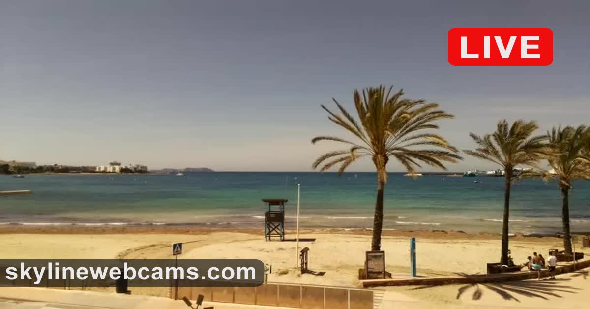
Anyone have any webcams they're aware of in the Balearics? I've got a mate in Ibiza at the moment, but his hangover is probably preventing him from looking outside for me...
Only I've got is this so far, looks a bit gusty.
【LIVE】 Webcam Ibiza - Sant Antoni de Portmany | SkylineWebcams
WWW.SKYLINEWEBCAMS.COMTravel to the Balearic Islands with our Ibiza webcam on Sant Antoni de Portmany beach! Spend your crazy summer in Europe's most vibrant destination!-
2
-
-
40 minutes ago, Alderc 2.0 said:
This is absolutely nothing to look at but it’s putting out some loud rumbles!
Keeping you happy then @Alderc 2.0

-
1
-
1
-
-
Classic day of sunny spells and thundery showers across large parts of the UK today. If we get good sunny spells across Eastern half of the UK, then storms may be able to utilise modest speed shear and may represent some organisation. Should be a reasonable amount of lightning about today.
-
6
-
1
-
-
30 minutes ago, LightningLover said:
Exceedingly Similar!
That is a fantastic shout. I’ll have to look more into the 2016 event. At first glance maybe 2016 shows bit more digging south of the trough which may allow a slightly greater advection of hot air towards the southeast.
-
1
-
1
-
-
If UKV 9z is anything to go by could be a very thundery day tomorrow across the SE. AROME 6z was a shift northwards too.
-
4
-
2
-
-
The stormforecast.eu shows some interesting probability charts for the far SE. Shows how much uncertainty there is at this stage as this has a 50-75% lightning probability stretching NE from Somerset to Lincolnshire, despite the majority of our main convective models showing very little. Not sure I've seen a 5-10% 2cm+ hail line over any part of the UK at any point this year?
If we can improve on confidence with regards to the far SE seeing something, this would definitely fall within my chase territory.
-
7
-
-
How nice of the ARPEGE to follow the N France coastline... Really is painful living in the UK!
If it's any consolation the NetWx MR has an MCS tearing across SE England in a 35m/s sheared environment. Don't give up till it's over I guess!
-
3
-
-
The 06z runs this morning bring S/SE England agonisingly close to some pretty spectacular thunderstorms (a positive trend vs the last 24/48 hours), given the CAPE and DLS overlap. We're definitely within the realms of this possibility, should the boundary of the warm airmass advect 50-100 miles or so further northwards. Just a few more positive adjustments needed and I wouldn't rule it out given the underestimation of the strength of the heat dome over Central Europe. However, as it stands this is screaming the dreaded, Kent Clipper.
-
5
-
3
-
-
- Popular Post
46 minutes ago, Rufus Butterfield said:Interesting feature being suggested on Thursday. Not much cape present so I don’t know if it’s suggesting elevated convection or a convergence zone.
Seems to be on the boundary between the warm airmass to the south and the cold airmass coming down from the north. Where that boundary lies there could be some pretty torrential thunderstorms. A lot of the models have these over the Channel/N France, but UKV has consistently shown these developing over the UK. Some very strong deep layer shear being modelled by UKV, with some large CAPE to the S/SE, so some organised storms are possible but need greater confidence before we can firm up on the details.
-
7
-
4


.png.388ceb2d50a3a88d2f0e1431c7cb5e02.png)
.png.6449c87f1c6bccc711a67f9b011df182.png)


Storms and Convective discussion - September 2023
in Storms & Severe Weather
Posted
Models not seemingly had the best grasp of this, can only be a positive sign going forward for the next few days. UKV now has strong surface-based storms developing on Saturday afternoon too.