
Line of thunderstorms spreading north and east this morning, then more storms in the north later while turning drier in the south. Sunday dry, bright and fresher, but more storms in the south later before spreading north for Monday.
Once again, yesterday was the warmest day of the year so far, but unusually it was Scotland that saw the highest temperature of the year to date, with Lossiemouth reaching 29.4C. Most places saw blue skies yesterday, West Malling in Kent recorded 16 hours of sunshine, but we will see cloudier skies today and a risk of storms too, as an area of low pressure tracks up the Irish Sea and across Scotland later and a cold front moves NE – which will bring thunderstorms or heavy rain across many parts, though it will dry up across the south this afternoon.
Sunday should be drier, sunnier and fresher – but still warm in the south, while later in the day and Sunday night warmth and humidity with further thunderstorms return across southern England.
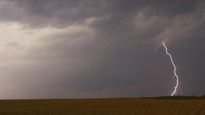
Wales, the West Country and parts of southern England have seen thunderstorms waking many up since the early hours, bringing frequent lightning and heavy rain across these areas first thing.
The line of storms and heavy rain stretching NW to SE from Merseyside down to Sussex along a cold front currently at 8am will continue to move NE across England and Wales, tending to weaken by late morning. Turning drier and brighter behind across central and southern England for the rest of the day, though a further batch of heavy showers and thunderstorms look like spreading north across the far SW of England and Wales this morning, before spreading across northern England and eventually this afternoon and early evening – where the storms could become quite potent, with a risk of large hail, torrential rain leading to flash flooding and frequent cloud-to-ground lightning.
Hot, humid and sunny again today across central and eastern Scotland ahead of the storms and heavy rain pushing up from the south, but this will only serve to fuel some quite potent thunderstorms arriving from the south late afternoon and into the evening. Northern Ireland and western Scotland will be generally cloudy, with outbreaks of heavy rain and some embedded thunderstorms too.
Temperatures across England reaching 21-25C, perhaps as high as 27-28C across inland parts of southern England. Turning cooler and fresher across EIRE, N. Ireland, Wales and the West Country, with 16-20C more typical this afternoon. Hot across eastern Scotland, with 29-30C possible in sheltered glens, otherwise the low to mid-twenties.
Then tonight, thunderstorms easing across northern areas, though a legacy of showery rain across Scotland, N. Ireland and the far north of England before becoming confined to northern Scotland by the end of the night. Further south, it will be dry with clear spells and feeling cooler, fresher and more comfortable than recent nights.
Rain will clear the Northern Isles first thing, then most places will have a generally dry day with plenty of warm sunshine, though feeling fresher than recent days. However, turning cloudier across the far south of England during the afternoon, with a risk of thundery showers or thunderstorms arriving across SW England and perhaps along southern coastal counties of England further east during the evening. Temperatures reaching 17-21C generally, 23-26C across SE England and East Anglia.

Heavy and thundery downpours spreading north across England and Wales Sunday night, some large rainfall totals in a short space of time possible - bringing a risk of flash-flooding locally. This heavy rain and storms spreading north Bank Holiday Monday morning to reach northern England and southern Scotland by early afternoon. drier and brighter conditions following across southern England – though risk of further thundery showers towards the southeast perhaps. Temperatures reaching 14-19C generally, perhaps 21-23C across SE England and East Anglia.

Rain clearing northern and eastern areas early Tuesday, then becoming generally dry, bright and feeling fresher in the south on Tuesday and Wednesday, with a west or southwesterly breeze. Some cloud and rain likely for northern Scotland.


