
Not quite. There will still be heat and humidity about, and sunshine but accompanied by heavy and thundery showers. Then the heat subsides.
There will still be heat, humidity and sunshine but also the threat of heavy, thundery downpours. Couldn't be simple for a UK long holiday weekend, could it.
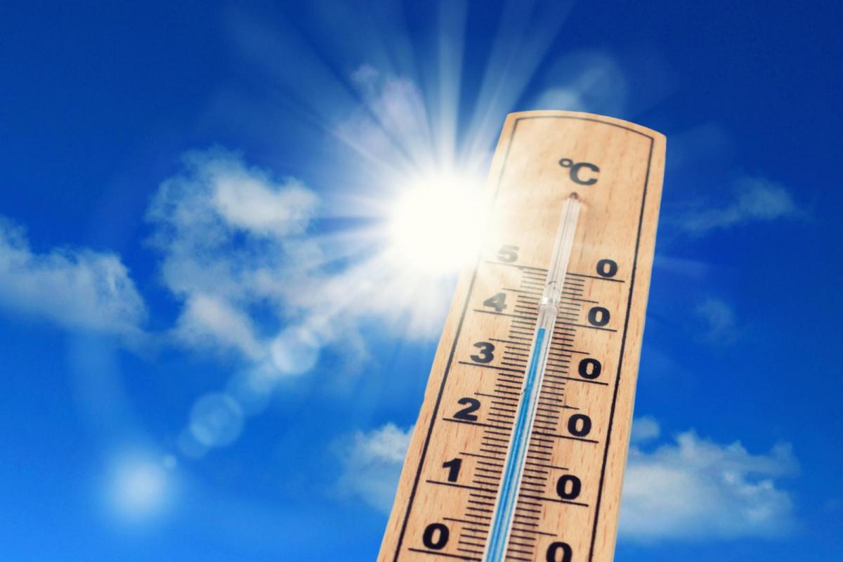
Heat
After the heat of Thursday and Friday many areas will still be hot and humid on Saturday and feeling very close on Friday night. There will be changes from the SW but still many will see temperatures up into the mid 20s C with 30C a possibility in northern Scotland. It is going to feel muggy and close, like thunderstorm should be on the way.

Sunday will be very different for the NW half of the UK. Temperatures in Scotland and Northern Ireland of 13 to 17C and feeling much fresher. Across the rest of England and inland Wales 17 to 25C although the SE of England could hold onto the hot, humid conditions and see 30C

Bank Holiday Monday looks more comfortable with temperatures in the high teens, maybe low 20s for a few spots, although NE parts could be cooler under stubborn low cloud.
Sunshine
A glorious morning across much of Britain with more blazing sunshine. Low cloud will accompany rain for Northern Ireland and SW Britain, and this looks to move over Wales, NW England, parts of the Midlands during the day.

There will be more cloud about on Sunday morning but with breaks appearing for central/eastern Britain, possibly for southern England too. So, sunshine in places.
Monday also looks a bit mixed but still with a good deal of sunshine about, more so in the west.
Rain and thunderstorms

After this recent dry spell, the weekend looks more unsettled. The gardens and fields maybe grateful but it will be an unwelcome interruption if you have sunbathing, party, wedding or event planned. The rain is not for everyone. Mostly it will be bands or clusters of hefty showers.
Saturday
A small area of low pressure moves up from SW England, bringing outbreaks of rain to West Country, Wales, N.Ireland. As the centre moves up over the Irish Sea, heavier bursts will reach NW England, the Peak District and SW Scotland. Another pulse could head towards eastern England later in the day. These areas could be the focus for the heaviest downpours and potential thunderstorms with the peak of the heat of the day and hardly any breeze, so will be slow moving.
The wet weather moves up through Scotland during Saturday night.
A few damp bits remain over the northern half of the UK on Sunday but light and patchy by then, mainly around far NW coasts. Isolated heavy showers could pop up over inland southern England by late afternoon.
By Sunday evening into Monday another area of hefty showers, and possibly thunderstorms moves up from the south. SE Britain looks most prone, so London, Home Counties, maybe into the Midlands and East Anglia. Western parts of Britain and N.Ireland could also see showers.
Pollen and UV
Still moderate levels of Tree pollen (oak) and low levels of grass pollen. As the grass pollen season takes hold in this sunshine and warmth, expect more sneezing
Do take care in the sun, UV levels remain high, slap on that sunscreen and remember the shades and hat.


.jpg?w=350)

