Another often fine weekend to come, but winds will turn into the north early next week, bringing a plunge of Arctic air.
It has been a chilly start to the weekend across northern areas of the UK, with temperatures down to -2C at Shap, and low enough for a relatively widespread ground frost across Scotland and N England. It is, however, a milder start across central and southern England, and Wales, given more cloud. The weekend will continue the trend of the past several days, and that is for high pressure to remain a dominant feature and, as a result, will bring further mainly dry and benign weather conditions for many parts.
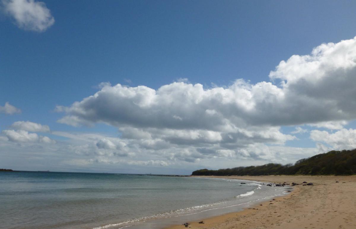
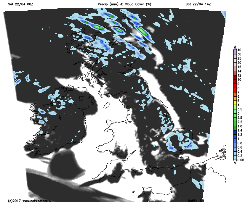
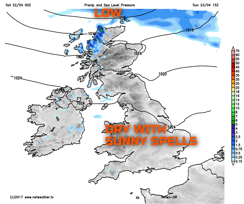
Through the remainder of Saturday, a lot of dry weather is expected, with some prolonged spells of sunshine across more western regions of the UK, particularly NW England, Wales, the Midlands, and SW England. Cloud is expected to be more extensive across parts of Scotland and also down across some eastern areas of England where a few mainly light showers could well develop this afternoon.
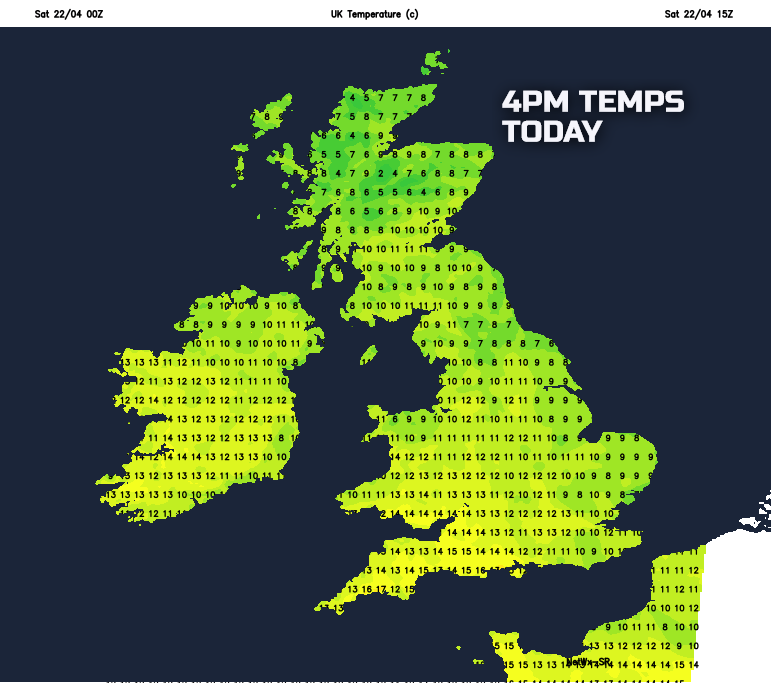
Temperatures through Saturday afternoon will be near or a little below average, but given relatively light winds and some sunshine then it will feel pleasant enough. They'll range between 7C and 12C across the UK today, but rising to near 13C or 14C where most of the sunshine will be across western areas of England and Wales.
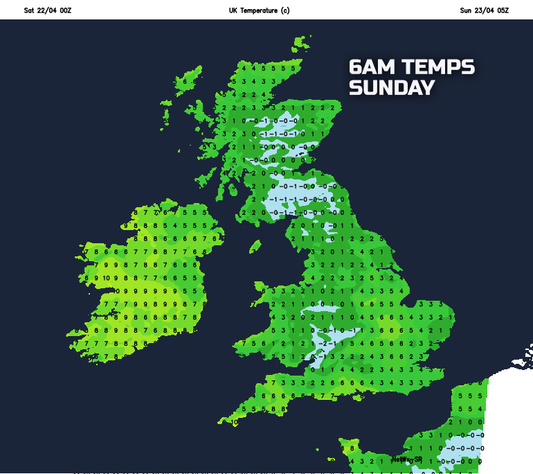
Into Saturday evening and overnight, a few light showers may continue across some northern areas of Scotland, while it will remain rather cloudy and damp across parts of Ireland. For most of England, Wales and S Scotland though it will be a dry night with variable cloud and clear spells; this will lead to a chilly night with ground frost and local air frost once again.
After a cold start to Sunday, further, dry and settled conditions are likely, with variable cloud and some decent spells of sunshine across England and Wales in particular. Low pressure is, however, expected to approach Scotland from the north-west through the afternoon and this will introduce thicker cloud, a W or NW’ly breeze and, eventually, some rain and showers. This trend towards more unsettled conditions is the initial development of what will herald the change to colder conditions into next week.
Temperatures on Sunday afternoon will be very near to average for the middle and latter half of April, with maximum temperatures ranging between 8C and 14C. It will be cooler further north and west, in particular through the afternoon as it becomes cloudier and breezier, but across most of England and Wales then another pleasant spring afternoon is to be expected.
Next Week:
Quite an abrupt change to more active weather is expected next week as an area of low pressure passes to the northeast, to become located over Scandinavia. This low pressure will then join forces, if you will, with higher pressure to the west and north-west of the British Isles, to allow for a feed of cold arctic air. This change will take place through the course of Monday with a band of rain moving southwards, with colder, showery conditions following.

While details are uncertain for now, confidence is increasing to suggest temperatures will fall away to become below or even well below average by Tuesday and Wednesday of next week. A distinctly cold feel to the weather is expected due to the development of a fresh or strong northerly wind, with a significant wind-chill factor possible. Showers that develop will fall readily as sleet and hail to lower levels, but across even modest high ground of the north of the UK then snow is likely, perhaps with some accumulations. Overnight frosts will become widespread from Monday night onwards, these locally severe for the time of year, most certainly something for farmers, gardeners and growers to be aware of. The change to colder conditions is highlighted well on the below weather chart into Tuesday with the blue shadings flooding southwards across the UK indicative of a cold arctic air mass.
.png)
So, a case of making the most of the fair weather this weekend, as next week will indeed produce some late winter-like weather, which will be in stark contrast to recent conditions that have dominated across the British Isles.