It looks nice out of the window, and there is so much more daylight now but it can be deceivingly nippy outside. Next week looks even colder with hill snow.
This time of year brings warms sunshine in sheltered spots and a cool chill to the air in the shade or the breeze. Night time frosts remain a risk, but the daytime fluctuations mean you’re often left carrying a coat, but glad to be doing so.
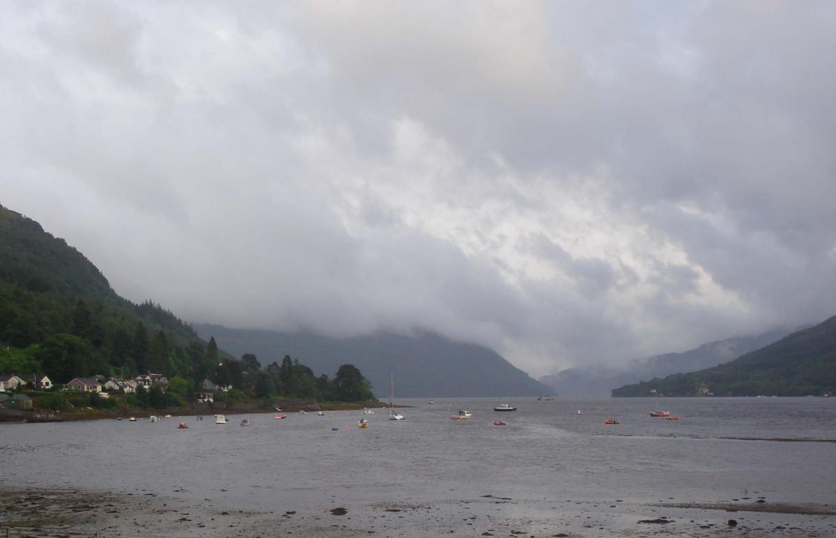
This morning it is nippy in the south with temperatures around freezing after clear skies. Elsewhere there is a lot of cloud, although with a nice, sunny clear pocket over eastern Scotland. Under the cloud, it hasn’t been quite as cold overnight, and there are weak weather fronts bringing a little bit of patchy rain
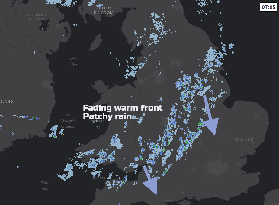
One band runs from south Wales, the West Country into the Midlands and Lincolnshire. There is more damp weather through the Irish Sea and North Channel with weather fronts lining up for the far north of Scotland. Other parts just have more cloud, brighter spells coming through and a steady cloud filled sky that you would associate with high pressure.

Overall there are light winds from the west or NW, but it will become more breezy for northern England and eastern Scotland making shady spots feel cooler by this afternoon. However, to the lee of hills temperatures could rise to 15 or 16 for eastern Britain. The lightest winds remain over Devon and Cornwall as the high is centred away to the SW. Northern Ireland will be around 12 or 13C with a moderate W wind.

Overall there will be a lot of dry weather today with cloudy/bright bits. However, the band of patchy rain over central areas could pep up a little this afternoon and bring a few showery bursts of rain. These will be well scattered but just a reminder for southern Britain. Northern and NW Scotland becomes damp as a cold front lurks nearby with a brisk west wind.
Very slowly through Friday and Saturday, the cold front trundles its way southwards through the UK
Tomorrow
Friday starts off with a good deal of cloud, some bright spells, dampness for western fringes and wet weather for northern Scotland, especially the NW Highlands. The band of rain will move southwards through Scotland during the day but becoming more patchy and fragmented. Northern Ireland, NW England, Isle of Man and NW Wales will have grey damp weather too. Behind the frontal band, a brisk NW wind will add to the cool feel at 9 to 12C. Ahead of the front, there will be brighter spells with temperatures of 12 to 16C, but a chance in sunnier spots of 17 or 18C. A cool NW wind will pick up for the northeastern half of the UK.
Weekend
By Saturday the high pressure is away to the east of Ireland. After a chilly night in the north, there will be a cool North wind for Saturday. Southern counties of England will do okay at 16C with some sunshine but for most, it’s a mixed day with bright spells at best. The far north of Scotland could see snow showers over the hills to start Saturday.
Sunday sees blustery rain move over Scotland and still the mixed conditions further south.

Next week
The signal for colder air flowing down from the Arctic remains. A cold north wind, more frost risk, daytime temperatures of 7 to 13C at best. There is also a signal for snow. It is a far way off to be pinpointing depths and exact timings but Scottish hills look set for a covering, also the hills of northern England Monday into Tuesday. The two graphics show the (dark blue) colder air taking hold on the thickness charts and potential bands of showers or fronts moving down in the flow bringing a mix of rain/sleet and snow. Just something to keep an eye on and as I was asked yesterday
“Is it going to get any warmer?
No, colder next week!