Too much chocolate and too much of this cool, bitty weather in recent days may be giving you a bit of a sickly feel today. The chocolate should be about done, but the cool weather is set to continue.
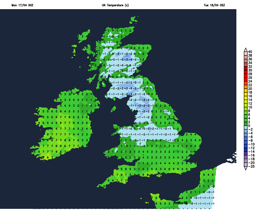
If you're anything like me, you're feeling a bit chocolated out this morning, and on top of that, you're maybe also tiring of this quite cool, bits and pieces type of weather that we're having. Unfortunately, there's no sign of this weather pattern going anywhere fast - in fact, we've got some wintry showers moving into Scotland today, and there'll be some widespread, even hard frosts during the coming nights.
It's not all doom and gloom though; there is also some sunshine to be had today. To start the day its parts of Scotland enjoying the bulk of it, but the cloud over England, Wales and Northern Ireland will do it's best to break during the day, to at least give some glances of the sun in places. There are some showers about, but most parts of England and Wales will stay dry until later in the day until the rain and hill snow in Scotland makes a move further south during the latter part of the afternoon and through the evening.
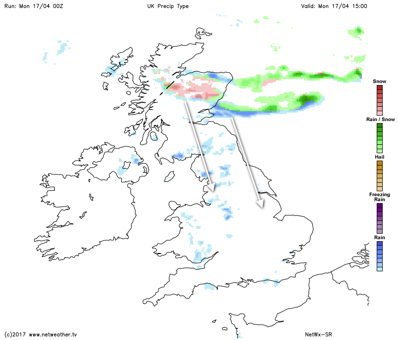
Behind that band will be clearer skies but also colder air, so temperatures will quickly fall away once it's moved through to leave many parts with some frost and ice by dawn.
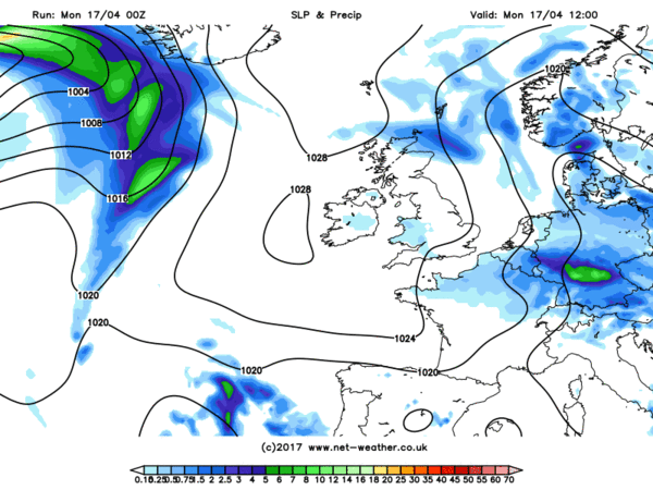
You'll recognise the weather pattern next week, as it's much the same as we've had during the past seven days, that's with high pressure often centred close to, but often just out to the west of the British Isles. That'll mean that the the southern half of the UK is often dry, but fronts bringing rain will often be allowed into the Northwest, some of which will occasionally make a move further Southeast.
It's quite a cool setup, and lends itself to some northerly plunges of colder air, as we're seeing today, which'll keep temperatures close to, or even below average for the time of the year. There may be the occasional warm-up though, particularly in the south, but in the main, the coolness looks like continuing through to the end of the month. We are into the second half of April though, and there will be a fair amount of sunshine at times, so when it's out, it should still feel pleasant enough.
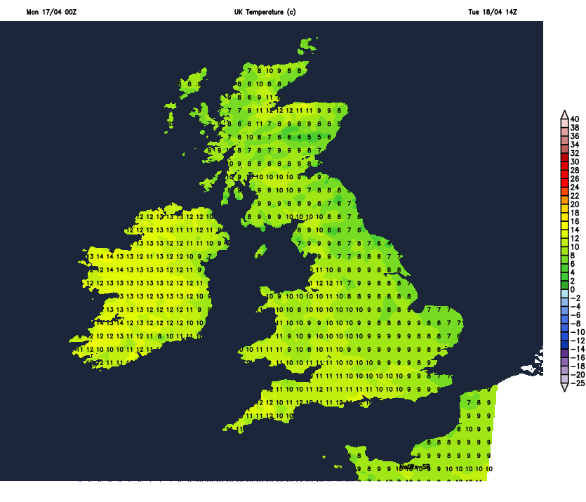
To start the week though, the high will be across the south of the country, so after the frosty start, there should be plenty of sunny spells to be had once any residual showers clear the far south during the first part of the morning. The east coast of England may well see more cloud being blown in from the North Sea, which'll make for quite a drab, chill feel. And some showery rain will also make a move into the far Northwest, coupled with strengthening winds. Temperatures: mildest in the west, where the best of the sunshine will be.
Another frosty night follows, this chiefly across England and Wales, with more cloud across Scotland and Northern Ireland. Then Wednesday brings a north-south split, with sunny spells further south, more cloud and some rain further north.
As we move through to the end of the week, some patchy rain will try to make it's way further south, but struggle, so more bright or sunny spells for many. It could well be that some parts - especially the south, warm up a touch at this point, with highs heading into the mid or even high teens, although there is some uncertainty over this. Either way though, it does look like colder air will be making a return from the north again into the weekend and the first part of the following week.