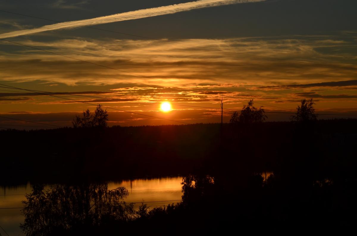
Our brief taste of summer is drawing to a close as change is already moving into the northwest.
Temperatures reached 21.4c in West London yesterday, as our brief weekend of summer-like weather got underway, and today we're likely to get even warmer still with highs of 22-24c, perhaps even a 25c.
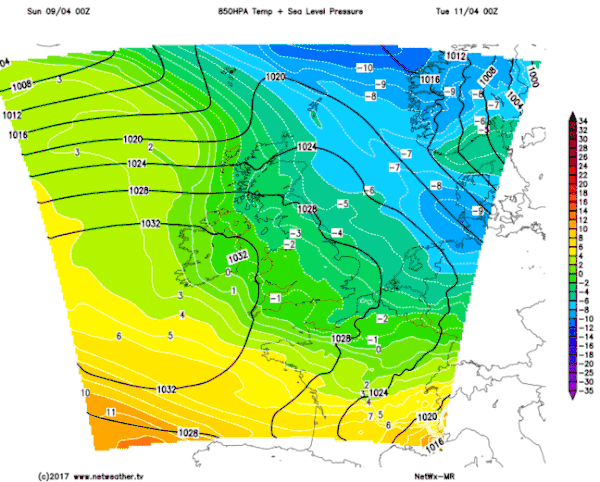
Change is approaching from the northwest though, with cloud thickening, and rain is already falling in the Western Isles.
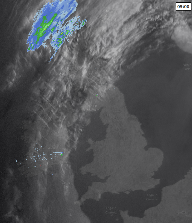
Check the latest radar and satellite images here.
It's also been a chilly start to the day, Spring usually bringing us the greatest diurnal temperature range of the year (the difference between the overnight min and the daytime max), and that's certainly playing out, as several places have had a touch of frost. Eskdalemuir is the current low spot being reported with -0.9c during the early hours. The sunshine is strong at this time of year though so that temperatures will jump up quite speedily during this morning.
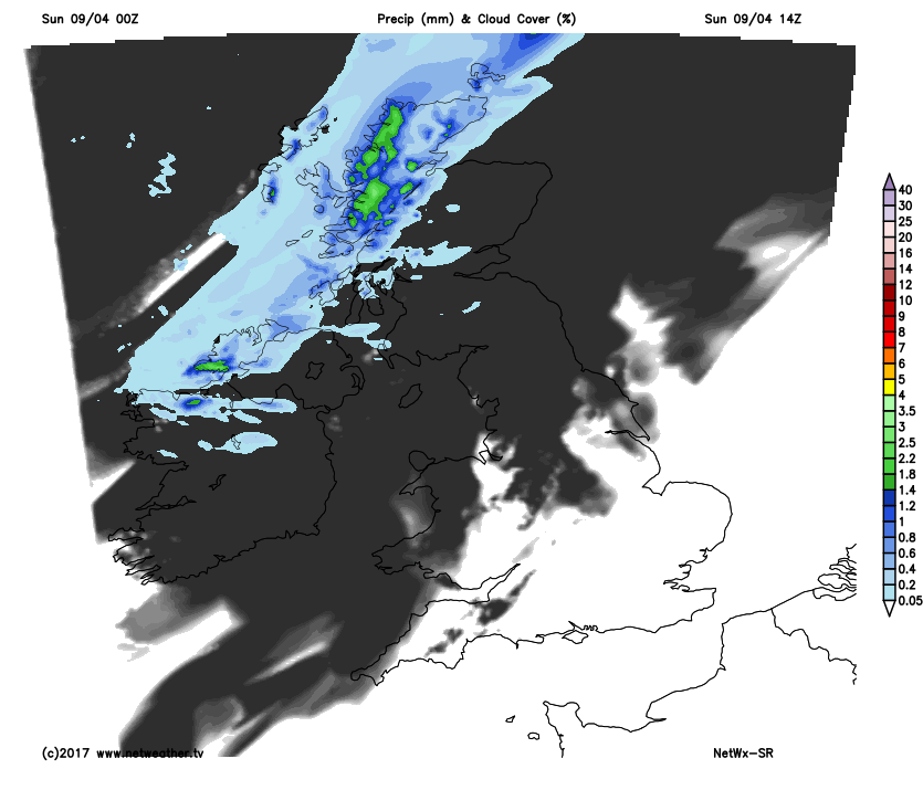
All the while though, the cloud will be encroaching down from the northwest, so if you're away from the southeast quarter of the country today, you're going to see an increase in cloud amounts as the day wears on. Much of Scotland, the far north of England and West Wales will be quite cloudy into this afternoon, with the rain also sinking into the northwest of Scotland.
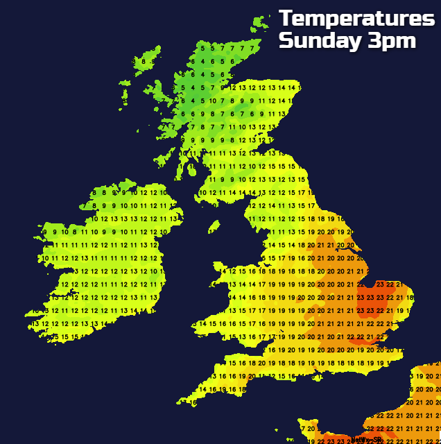
As you may expect, that's going to have a bearing on the temperatures this afternoon, with that southeast quadrant enjoying the best of the warmth, as the northwest stays coolest.
Through the latter part of the day, the process continues as the band of rain and cloud moves ever further southeast - the rain dying out as it does so, with cooler air, cloud breaks and some showers following on behind into the northwest. And to highlight the change in fortunes, those showers are going to be falling as sleet and snow over the high ground of Scotland and eventually other parts of northern Britain too.
Monday will see maximum temperatures some 10c or so lower than today for a good part of England and Wales with a fresh breeze blowing. There'll still be some sunny spells to be had, but also some showers - these chiefly affecting the north and also east of the country.
Through the remainder of the week, a fairly repetitive pattern is expected, with high pressure never too far from the southwest of the country, and low pressure from the Atlantic crossing close by to the north of the country. That's going to mean the driest and most settled weather is further south, with unsettled weather more frequent further north. It also means winds will often be from a pretty cool west to northwest direction but with occasional warm-ups for the south at least.
The long weekend looks set to be quite a mixed one currently, with a settled, perhaps warmer start in the south but still less settled and cooler further north. As the weekend draws on, it's the unsettled, cooler weather which looks likeliest to win through. More details on all of this as we move through this week.
Don't forget you can stay up to date with your local forecast here, and if you're heading further afield over the Easter break, take a look at our travel pages for the latest holiday weather and more.