The settled, warm and sunny weather is breaking down dramatically across the west on Sunday, with lively thunderstorms here. More unsettled week ahead, more especially the first half, with low pressure close to the west bringing showers and lower temperatures.
For once it’s stayed dry all week for many, thanks to high pressure, with rising temperatures too. It feels a long time since we’ve had a dry spell of weather for more than a few days, so wet it’s been since last summer. However, the fine and settled spell is starting to break down across the west and north for the rest of Sunday, with thunderstorms developing. Eastern areas look to stay dry today and through Monday, while a more organised band of rain looks to spread northeast across western areas. This band of rain will reach northern and eastern areas later on Monday and looks to linger here through Tuesday morning before fizzling out. But with a deepening area of low pressure forecast to move in across the southwest by mid-week before moving south, there will be a risk of showers across more southern and central areas. After Tuesday, northern areas may fare better for the rest of the week, with fewer showers and more sunshine. It will turn cooler than recent days, but temperatures will still be around or slightly above average, warm in any sunshine.

High pressure retreats to allow low pressure in close to the west early this coming week, so turning increasingly unsettled
Rest of today
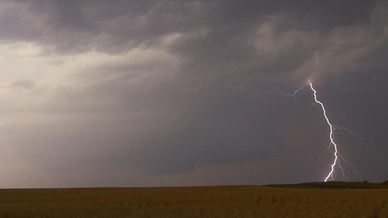
Today looks like it is the warmest day of the year so far, with the temperature reaching 26.5C in London. But a trough moving in from the west engaging the warmth and rising humidity has triggered some thunderstorms across more western areas, which will develop more widely across western and northern areas through the evening. There has already been some flash-flooding in Northern Ireland earlier, as a line of strong storms moved through. And there’s a risk of flooding, large hail, gusty winds and frequent lightning from storms that are developing across Wales and western areas of England. These storms will spread or develop further north across parts of the Midlands and northern England through the evening, while heavy showers and storms are also developing across southern and western areas of Scotland this evening. The thunderstorms will be hit-and-miss though, with some places staying dry. Eastern areas look to escape with a largely dry, sunny and warm evening.

Thunderstorms erupting across western areas this afternoon (since noon)
Tonight - more aurora viewing?
Heavy showers and thunderstorms will continue to spread north across northern areas, clearing further south across Wales and SW England. Chance of seeing the aurora again tonight where skies clear – which looks most likely across southern, central and eastern areas of England. More in the way of cloud across western and northern areas. A mild night, with temperatures staying in double figures.

Monday
Monday will see a frontal system, associated with a low moving into the southwest, slowly edge northeast with a band of cloud and rain across Ireland, N. Ireland, SW England and Wales through the day, eventually reaching NW England and western Scotland through the evening. Most of Scotland, until rain arrives in the west in the evening, along with eastern England staying dry, sunny and warm – temperatures reaching 18-23C. Cooler 15-16C under the cloud and rain in the west.

Tuesday
The frontal system moving in across the west tomorrow will make slow progress north and northeast across Scotland and towards eastern England Monday night into Tuesday. Showery and breezy conditions following across the southwest. Cloudy with outbreaks of rain across northern and eastern spreading north along a slow-moving front through Tuesday morning and perhaps into the afternoon before eventually fizzling out. Wales and SW England will see sunshine and showers, fairly windy too nearer low pressure just to the southwest. NE Scotland could escape mostly dry. Cooler day, with temperatures reaching 15-18C at best.

Wednesday
Low pressure still loitering off SW England on Wednesday, so further showers developing in places across England and Wales, but they will be hit-and-miss with some staying dry and sunny. High pressure tries to build in across the north, so drier and sunnier for Scotland.
Thursday
Thursday may see a new area of showery low pressure develop over the Low Countries or western Germany which may drift northwest and introduce increasing showers or thunderstorms to southern and eastern areas of England. Well-scattered showers may develop elsewhere, but generally dry with sunny spells.
Friday
Sunny spells but also further showers look likely on Friday, particularly across inland parts of England. Far north and west may stay dry.
The signal, at the moment, for next weekend is for drier and more settled weather re-establishing – as high pressure builds back in across the UK.