
High pressure has dominated the weather for over a week but is on the way out, we expect frosts but why has there been so much fog and pollution too?
High pressure systems have dominated much of this winter so far, bringing predominantly dry and settled conditions with below average rainfall across many parts during December and so far this month. So, this winter so far is a far cry from last winter, which was the wettest for the UK in a rainfall series that goes back to 1910, with only the winter of 2013/14 wetter.
The lack of rainfall this winter, especially so far this winter, is good news for those that suffered flooding last winter and back in 2013/14 winter and those who do outdoor activities that rely on or benefit from dry conditions. However, the presence of these high pressure systems that bring these dry conditions doesn’t come without issues and impacts either. Though obviously not the long lasting impacts and damage that flooding and high winds can bring.
We’ve seen over recent days not only frost, but also problems with fog and air pollution thanks to light winds, cold surface air, subsiding air aloft and a build-up of pollutants from vehicle and industry emissions.
So why does high pressure in winter bring frost, fog and air pollution?
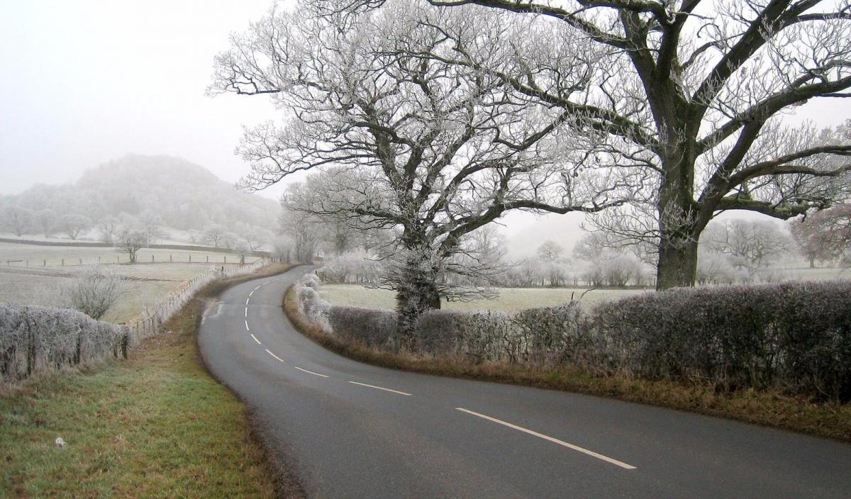
High pressure forms when air is subsiding from aloft. This causes pressure to rise at the surface, lighter winds and traps cold air at the surface in winter with little mixing. Clear skies are more likely under high pressure, so any warmth from the sun is lost to the atmosphere at night-time and if the airmass is cold enough, frost will form. If there is sufficient moisture in the air, radiation fog will form too under clear skies. The subsiding air in an area of high pressure and cooler temperatures at the surface than aloft can cause an ‘inversion’ or lid whereby pollution becomes trapped and can build up.


There are different types of frost and fog to consider too, radiation frost and fog are what some parts of the UK have experienced over recent days.
Frost
Two types of frost are generally recognised: (1) radiation frost, which occurs when there is rapid heat loss from the earth's surface to the sky due to a lack of cloud cover which would otherwise retain the warmth. This results in a great heat loss from the surface of an object causing it to freeze. Radiation frost occurs on calm, clear nights and (2) advection frost, which occurs at any time, day or night, regardless of cloud cover, when cold air below freezing moves into an area, though this kind of frost may not be visible other than bodies of water freezing.
Fog
The main types of fog are radiation, valley, advection, upslope, evaporation and freezing fog. For an explanation of these different types of fog, see ‘What is fog?’ from the Met Office.
Frost and radiation fog require similar conditions for their formation, these are:
Air pollution under high pressure
High levels of air pollution, like we’ve seen across central and eastern parts of England over recent days, can occur a few times a year on average and not just in winter either. The main cause all year round is high pressure with subsiding air within these anticyclones creating an inversion or stable layer near the surface trapping pollutants, particularly near the centre of the high where winds are light with little mixing.

The last few days since the weekend have seen very high levels of air pollution towards SE England and E Anglia, with a stable layer of colder air at the surface and relatively warmer air aloft acting as a lid and also little or no wind, which in effect traps pollutants at the surface. London and the Home Counties have seen particularly high levels over the last few days due to a combination of little or now wind, stagnant cold air, traffic and aviation fumes and even a growing popularity of wood burning stoves.
However, as the area of high pressure which has dominated our weather for over week retreats east over eastern Europe. This allows Atlantic low pressure to muscle in from the west towards the weekend, the wind will begin to pick up, with a southerly gale developing in the northwest and enough of a breeze across England to disperse the pollution and make any fog retreat to the hills of the north and west. Though the flipside is we will be importing even colder air via a southerly flow off a cold France.
We should see a marked improvement in air quality through the weekend as the flow, brisk a times. comes off the Atlantic and we also seem some rain which will wash out any pollution too. Next week it turns increasingly unsettled and windy as the Atlantic re-awakens, with gales in northern areas, so frost, fog and air pollution will be unlikely.
Goodbye high pressure and hello Altantic with milder, wetter but cleaner air


.jpg?w=350)

