
Extreme cold sweeps south across central and eastern Europe over next few days, while it turns milder across western Europe. However, cold and wintry weather from the NW threatens UK later next week on latest model runs.
A deep low named ‘Storm Axel’ moved southeast across the Baltic Sea on Wednesday causing a storm surge to parts of the Baltic coast of Germany, with the northern states of Schleswig-Holstein and Mecklenburg-Western Pomerania seeing the worst flooding in eleven years. By late Wednesday evening, many locations along the Baltic Sea had water levels of 150cm to 170cm higher than usual, though by Thursday morning water levels were dropping along the coast. Some of the worst flooding was seen in Rostock and in Stralsund, as well as on Usedom, where major damage was reported. The same storm dragged very cold air from the arctic across Scandinavia, with overnight temperatures falling to -41.7C at Muonio in Finnish Lapland and in northern Sweden, temperatures fell as low as -41.3C bringing treacherous road conditions.

Storm axel has weakened as it moved across Belarus and into Ukraine overnight and this morning and has now merged with large area of low pressure shifting slowly east between the Ukraine and SE Europe. This system is funnelling a bitterly cold northerly flow down across central, eastern and eventually southeastern Europe over the next 24-48 hours between an area of high pressure sat over the UK on Thursday, which brings a cold but sunny winters day for us.
Temperatures across central and eastern Europe will fall well below average for the time of year. The cold looks to lock in across these areas into next week too, as high pressure builds in from the west. The intensity of the cold air, originating from the arctic and far north of Scandinavia, along with its duration over several days will lead to hazardous or dangerous conditions for outdoor activites.
Maximum temperatures on Friday are expected to reach -12C in Warsaw; -6C in Prague, Munich and Belgrade. On Saturday, the cold air extends south deeper into SE Europe, maximum temperatures expected to reach -10C in Sofia, -8C in Bucharest; 0C in Bari (Italy); 3C in Athens and 5C in Rome.
Also, an area of low pressure moving east from southern Italy across Greece and the Aegean Sea over the next 24 hours, before eventually sliding across Turkey, will bring significant snowfall to the southern Balkan countries, northern Greece and even the mountains of eastern Italy later today and through to Saturday. Some parts of Albania, Macedonia, far north of Greece and Bulgaria seeing 30-40cm of snow by the end of Saturday.

Image courtesy of Weathebell.com
The cold will tend to ease from the west by Monday, with temperatures creeping back above freezing across central Europe though still below across the far east of Europe. These milder but cloudy conditions will have already swept across much of western Europe for the weekend, thanks to a moist westerly flow off the Atlantic between low pressure near Iceland and high pressure centred over the Bay of Biscay.
Low pressure moving SE later next week looks to bring in colder air from the NW and increasing wintry risk to UK
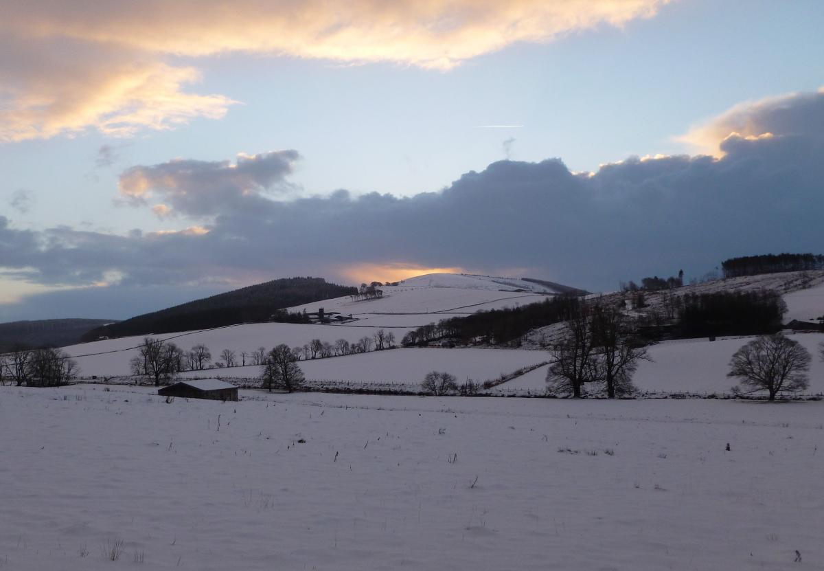
Snow risk Friday - Saturday next week
However, we will see a change to more unsettled and windier and conditions next week across northern Europe including the UK, as a succession of lows drop southeast from Iceland and Greenland area, bringing spells of wind and rain southeast and also colder polar air by the end of next week, which will allow snow to increasingly fall over northern hills and perhaps lower levels of Scotland and far north of England on Friday and Saturday, maybe some wintriness extending to southern parts of the UK too, but too far away to be forecasting exactly where and when snow may fall, but the potential is there. The longer range outlook is looking fairly cold with slight below normal temperatures across the UK, with the wind predominantly from a northwesterly direction, but occasionally veering northerly or backing westerly.
GFS ensemble mean v climate average temp shows below average temps feeding down from the NW later next week


