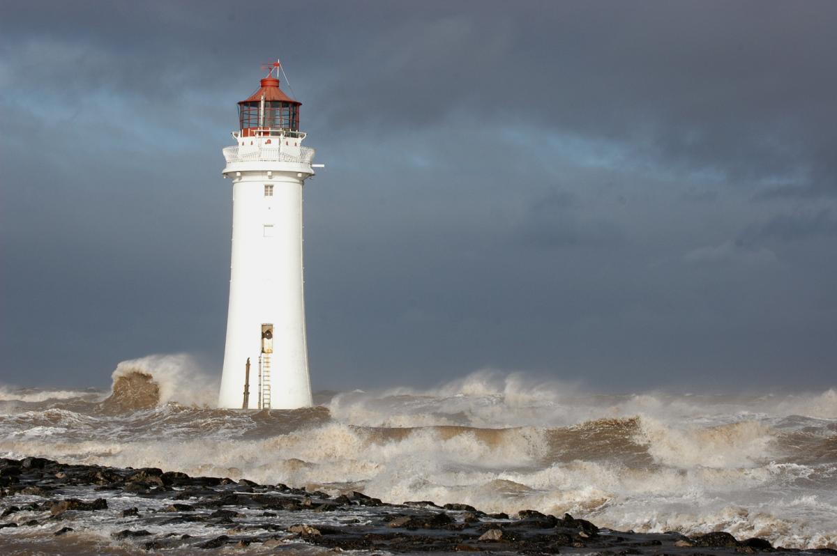
All the details about where, when and how for Storm Barbara, incoming this Friday.
Friday into Saturday morning, start of Christmas Eve.
Worst of the stormy weather will be for western and northern Scotland but much of Northern Ireland and northern Britain have weather warnings for strong winds. The rest of England and Wales will also have windy weather into the weekend.
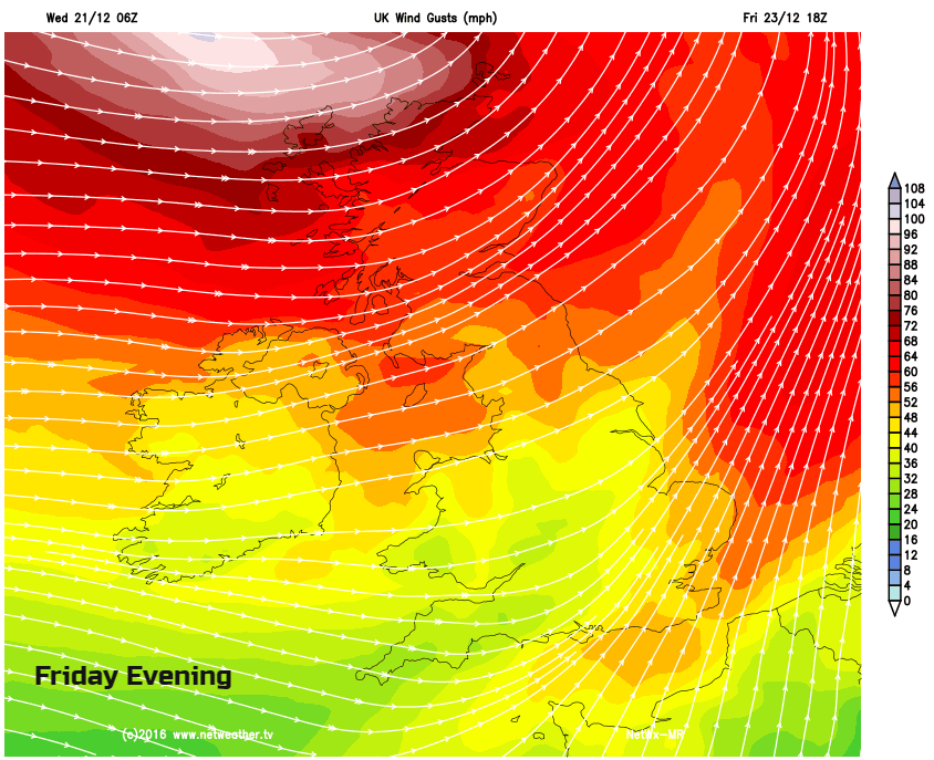
Severe gales are forecast through the Irish Sea and around coastal parts of Northern Ireland and northern Britain. This is winds around 50mph. Friday afternoon and evening, stormy force winds could affect NW Scotland with winds around 60mph. Gusts are expected of 80mph with exposed parts seeing gusts over 90mph. Gusts are sudden, temporary bursts in the ongoing wind speed.
Friday and Saturday will be very busy travel days, as people move about the country visiting family and friends. Also, as last minute shoppers dash to the shops. Disruption to ferry and rail services may occur. For road users, there could be restrictions or closures on bridges in the north. We haven’t had many stormy days this autumn or winter, so fallen trees could also cause problems. And interruptions to power supplies.
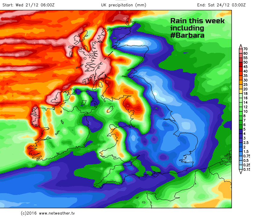
Yes, lots for western Scotland and NW England. Throughout this week rainfall just keeps on coming from the Atlantic which could lead to flooding problems for western Britain.
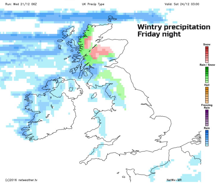
Snow isn’t a particular issue with #StormBarbara but there will be snow during Friday night. This will be confined to the Scottish mountains and higher ground of NW England. A wintry mix of rain, sleet, hail and hill snow.
No, another spell of very windy weather could hit the UK on Christmas Day bringing further gales. There is some uncertainty about the track of the next low after Barbara, so keep an eye on the forecast.