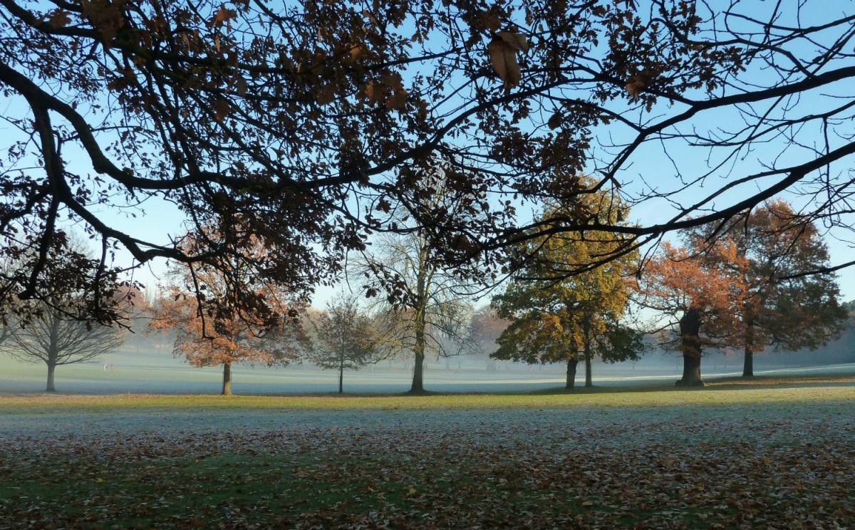
As the new month of November starts, the weather changes with cooler conditions spreading south, with overnight frosts returning. Turning even colder next weekend, as colder air from the arctic arrives.

The last week of October has seen high pressure dominate our weather, so it has been dry but also quite mild across the UK, due to the high centred east of the UK which has allowed a warm but moist southerly flow across the UK. This mild and moist air has brought rather cloudy skies, with high pressure acting like a lid or ‘inversion’ trapping the moisture near the surface, so with the weak sun and little wind – cloud has been stubborn to break up. Recent days have seen temperatures reaching the mid-teens across England and Wales, despite the cloud, but where the sun has popped out we have seen temperatures hit the high teens, yesterday Hull in East Yorkshire reached 18.5C. At dawn this morning, temperatures were close to the daytime maximum for late October.
However, Halloween tomorrow will see the last day of above average temperatures – with the change of month on Tuesday spookily bringing a change in weather to colder conditions.

A cold front will sweep south during Tuesday, introducing a cooler northerly or northwesterly flow. The mild air will hang across the far south on Tuesday, with temperatures still in the mid-teens in the afternoon before the cold front clears through in the evening. But on Wednesday it will be noticeably cooler across all parts, with daytime maxima reaching 10-11C at best in the south, 7-9C in the north. The cool northwesterly flow continuing to the end of the week will bring similar temperatures on Thursday and Friday too, while Wednesday and Thursday nights will turn cold everywhere and where skies clear a frost is likely to develop almost anywhere.
It will be mostly dry though this coming week, the cold front moving south early in the week will produce some rain across Scotland later on Monday and early Tuesday, but as the front slips south across England and Wales it will weaken and the rain will fizzle out, with just a change in temperature along it by the time it reaches southern England Tuesday evening. However, on Thursday, an area of low pressure drops southeast from Iceland, introducing rain and freshening winds to Scotland and N. Ireland by the evening. Before a band of rain spreads southeast across England and Wales on Friday along a frontal system, with showers following on behind across the north and northwest.
Low pressure drops down from NW end of the week, bringing unsettled conditions
There are some weather model differences on the track of the low diving southeast from Iceland later in the week once it gets near Scotland, ECMWF takes it down the east coast of Britain, 06z GFS further north toward southern Norway and Denmark. But in essence, a low pressure system eventually ending up to the east of the UK next weekend, while the upper flow amplifies to allow a ridge of high pressure to build north towards Iceland and southern Greenland. This will allow an increasing cold and showery northerly flow to develop on Saturday which will perhaps become cold enough by Sunday to support sleet and snow to fall from showers over higher ground in the north. Maximum temperatures next Sunday from latest GFS run only 5-7C in the north to 7-9C in the south. Widespread frost looking likely overnight too.
Temperatures next weekend below the average for the time of year

So certainly turning more seasonal as we enter into November, with the first real taste of cold since earlier this year. Not anything exceptional, though don’t doubt that the tabloids will make an over-the-top cold spin story out of the prospect of colder weather on the way. Any wintry weather in the reliable timeframe confined to higher ground of northern Britain.
In the wake of low pressure dropping SE at the end of the week, a much colder northerly flow from the arctic sets in next weekend
How long will the colder conditions last? The latest ECMWF (00z) and GFS (06z) along with the 00z ECM ensemble/EPS 500mb mean have a cold northerly flow going into the early part of next week, before the ridge of over the mid-north Atlantic and southern Greenland relaxes south and the upper flow flattens out from its more amplified state into a northwesterly rather northerly flow, which may allow another area of low pressure to slide southeast from Greenland, turning it less cold. A long way off and the ridge to the west and northwest may hold longer keeping the cold northerly flow maintained for longer. Even if it turns less cold from the northwest, it will still be on the cool side in a polar maritime flow with a risk of overnight frosts where skies clear. The northwesterly flow perhaps persisting toward mid-November looking at longer range ensemble means
EPS 500mb mean/anomaly points to a northwesterly flow for the UK in the 2nd week of Nov on the western flank of trough to the east and ridge to the west.
