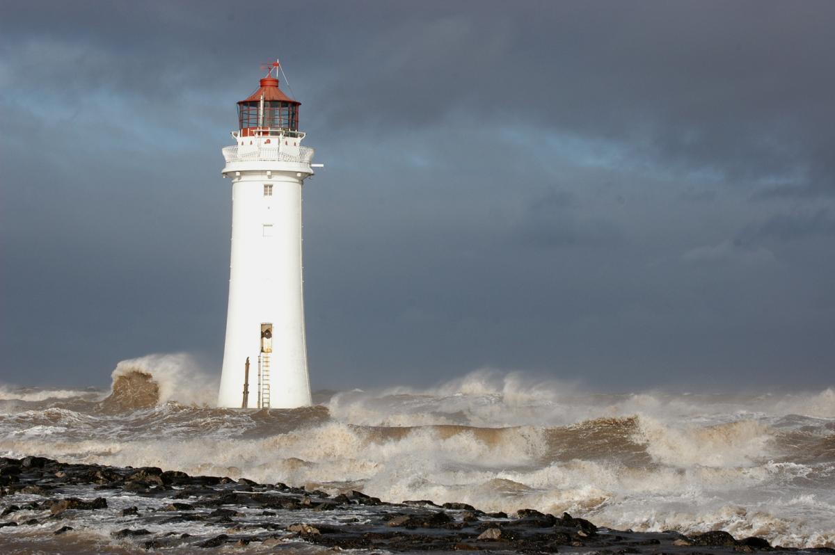
A powerful trans-Atlantic jet stream brings ex-tropical depression Karl sweeping north of UK Tuesday, followed by another deep low on Thursday. So gales for the north at times and some rain or showers too, though south quite warm.

Tropical Storm Karl brought heavy rains and squally winds to Bermuda early on Saturday but is now a post-tropical cyclone as it crosses cooler waters and gets swept up by the large upper-level low circulation over the far NW Atlantic east of the Canadian Maritimes.

Ex tropical Karl is forecast by models to deepen into an intense depression on Monday, as strong upper winds accelerate the low NE on to the cold polar side of a powerful trans-North Atlantic jet stream and also under the developmental ‘left-exit’ of the jet.
Karl will produce winds up to hurricane strength later on Monday and early Tuesday way out over open waters of the Atlantic before Karl races northeastward between Iceland and Scotland on Tuesday. The strongest winds are looking likely to remain north of the UK as Karl passes to the north, but there is potential for wind gusts of 50-70mph across Scotland and the north of N. Ireland and NW EIRE. Large swells whipped up by Karl are likely to bring wave heights in excess of 6 metres (20ft) to exposed western shorelines of Scotland later on Tuesday and into Wednesday.

Rainfall doesn’t look to pose too much of an issue on Tuesday, just some blustery showers with passage of Karl way to the north. However, before Karl arrives to the NW on Tuesday, a shallower area of low pressure moving into the SW approaches on Monday threatens to bring persistent and locally heavy rain to south Wales along with parts of Devon and Cornwall. Wet-bulb potential temperature (theta-w) chart below shows warm/moist air (WBPT of 16C) being dragged in ahead of the low creating ideal conditions for rainmaking. UK Met Office have issued a yellow warning for rain from this system.


Hot on the heels of Karl will be another developing depression waiting in the wings over the Atlantic which looks to deepen as it moves NE just north of Scotland on Thursday morning. This developing low looks to absorb the remnants of the now ex-tropical cyclone Lisa, which initially developed into a depression about 350 miles west of the Cabo Verde Islands last Monday before intensifying into Tropical Storm Lisa on last Tuesday, before weakening back to a depression on Friday.

This deepening low modelled to arrive just north of Scotland early Thursday could bring more widespread gales than Karl, as the centre of this low passes closer to the UK. This system later in the week could bring a lot of rain to the north half of the UK along with EIRE too, as associated frontal system separating warm moist Tropical maritime (Tm) and cooler Polar maritime (Pm) airmasses may become slow-movin for a time. The frontal system finally moves out the way later on Thursday, with a cool and showery Pm airmass following across all parts to end the week.
The flip-side of all the windy and sometimes wet conditions this week towards the north, is that rather warm and humid air will be drawn across the UK from Tuesday until the cool down to end the week. Wednesday sees air of sub-tropical origin on southwesterly winds ahead of Thursday’s system perhaps sending temperatures as high as 23C or more across eastern England, not bad for the end of September. So perhaps a summery feel in the south and east where the sun come out, despite the breeze.