


If you are still enjoying some warm sunshine, be warned it will be a different picture this weekend. Some spots are already seeing the rain but there'll be a noticeable difference for all, lasting into next week.
Mid April has seen lovely sunshine and warmth with tempeaetures in Kent and Gt London up to 25C on the 15th and 25.6C (78F) being recorded at Faversham, the warmest day of the year so far. Scotland, Wales and N.Ireland have reached over 20C this week and there have been some summer adjustments to wardrobes and outfits seen on the streets of the UK, even when it often felt quite chilly in the shade or the brisk breeze. Anyway, Spring has sprung, we're all getting some Vitamin D and we're full of wonder at the sunshine.
But... and there is always a but with the British weather, this weekend is turning colder with rain and even wintry showers in the north.
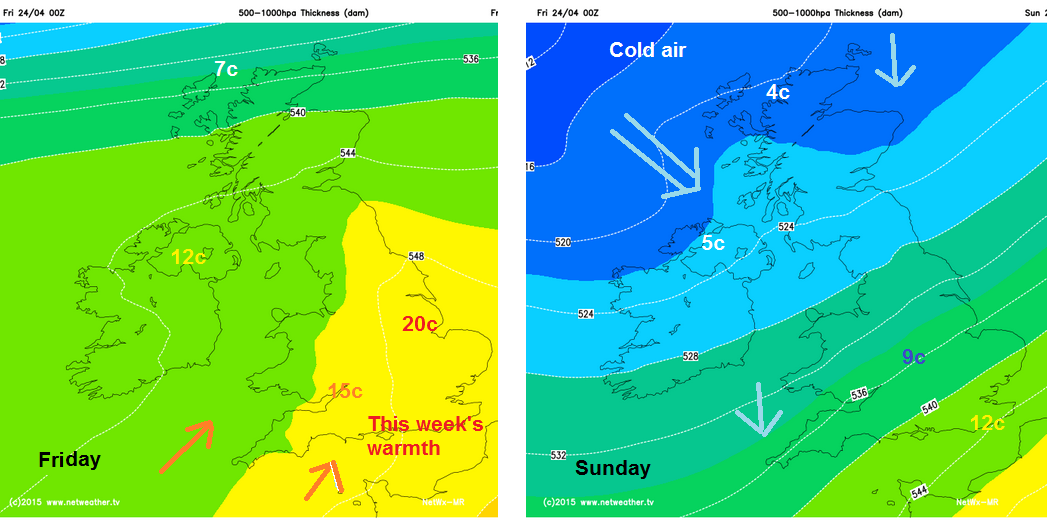 For Friday there is still warmth in the sunshine, with a SW flow and most parts have seen some dry and bright weather to start the day. Through the weekend, colder air will flow in from the North and temperatures will fall.
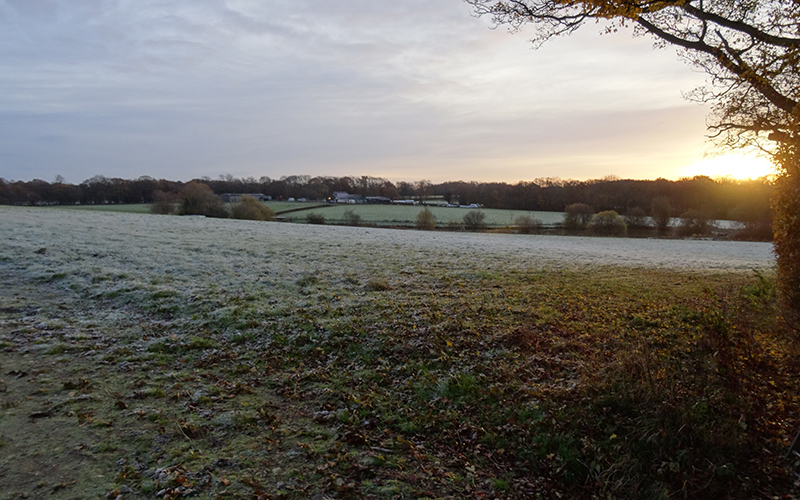
There will be heavy rain for some, blustery winds, more cloud, night time frosts, wintry showers and even snow for the Scottish mountains. What a change from the settled dry, bright spell of high pressure we've had recently. The last week in April looks cooler and more unsettled, nothing near 20C and the brisk North winds will add to the chill. Let's hope it changes again ready for May Day Bank holiday weekend. See Synoptic analysis by Nick F.


