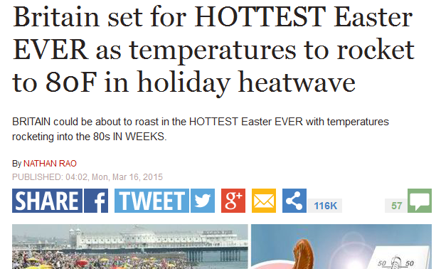
The 'Hottest ever Easter' claims look like heading the same way as 100 days of snow. Heavy rain early Friday will clear leaving a lot of fair, calm weather for the long weekend but the temperatures will be struggling
During Thursday night, a band of rain will stagnate moves eatwards across the UK, with snow for a time over higher ground in Scotland. This wet weather will clear away during Good Friday morning into the North Sea, although there’ll be blustery showers about on a cool NW wind to follow. Then high pressure begins to build and there will be a lot of settled, mostly dry weather about through the long weekend, but nothing exceptional with the temperatures.
So Good Friday still has rain early on but that should clear. Feeling cool 7 to 10C
Saturday, parts of England (10C) and inland Wales (9C) will see sunny spells but it will be cloudy and damp in the north as a weather front moves over Scotland (7C), brushing N.Ireland (9C). Light winds
Easter Sunday now looks like seeing a cloudy and damp flow off the North Sea. The cloud should thin and break up in the afternoon with W.Britain seeing 11C but along the N.Sea coasts only 6C. Sunday looks cold with a frost
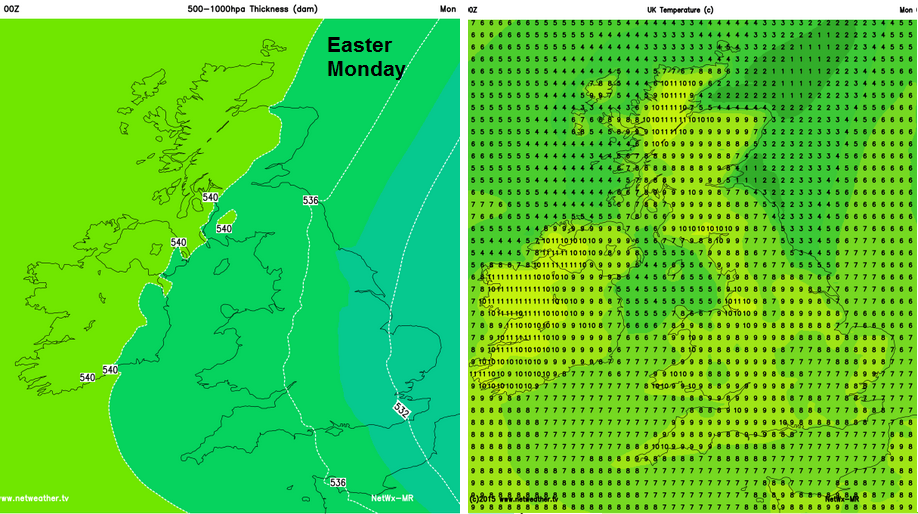
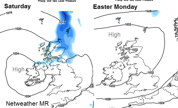
Easter Monday – some improvement, likely to be dry and bright, light winds, generally 9C but double figures for western areas
Next week – High pressure should bring a lot of settled, mainly dry weather, becoming a bit warmer
Click here for the long weekend's weather where you are.