There's been some decent sunshine today, but it all goes downhill from later this afternoon as wind and rain spreads in from the west leading to a very windy and at times wet weekend before colder air returns later on Sunday turning showers over northern high ground wintry.
There's been some decent sunshine today, but it all goes downhill from later this afternoon as wind and rain spreads in from the west leading to a very windy and at times wet weekend before colder air returns later on Sunday turning showers over northern high ground wintry.
The first of the rain will sweep in from the west this afternoon, over Ireland and N Ireland first before spreading to the rest of western UK this evening.
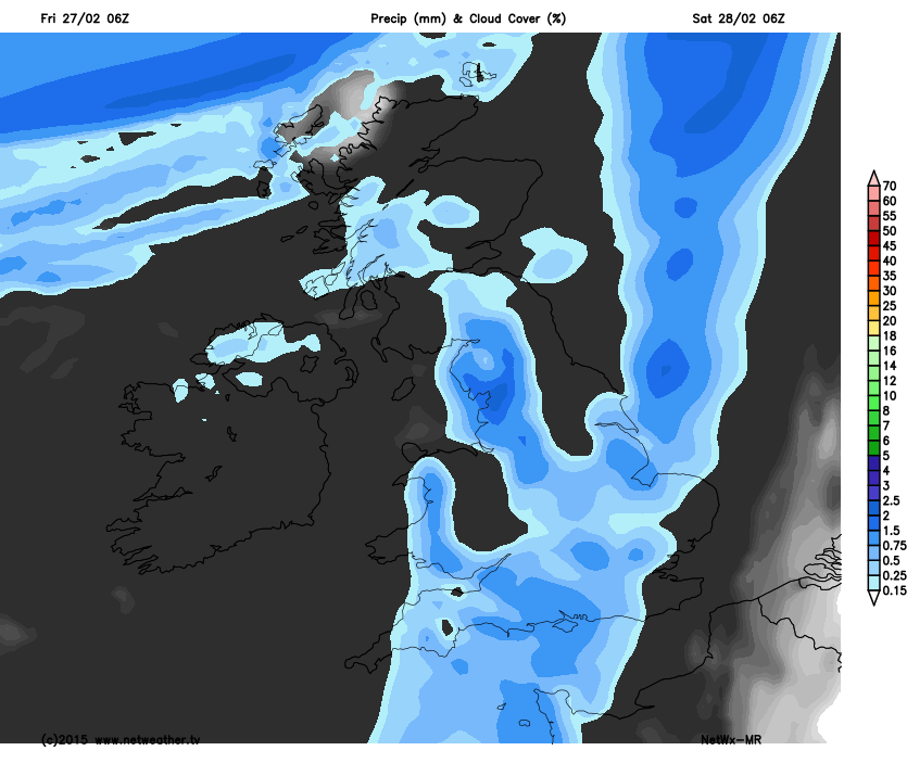
The rain carries on pushing east overnight, while it remains windy for northern and western areas, by morning it'll be a rather grey and damp start with occasional showers. Milder air following the rain will see daytime temperatures of around 9c for southern Britain, maybe reaching double figures for some while it will be 2 or 3c cooler further north.
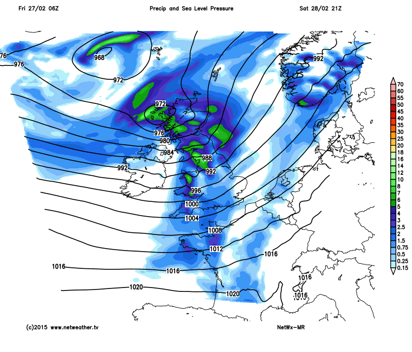
Later on Saturday an area of low pressure slides in from the west bringing more heavy rain for western areas, Ireland and the north west of the UK will also see some gales, possibly severe on exposed coasts as the low tracks through overnight.
 e2808b
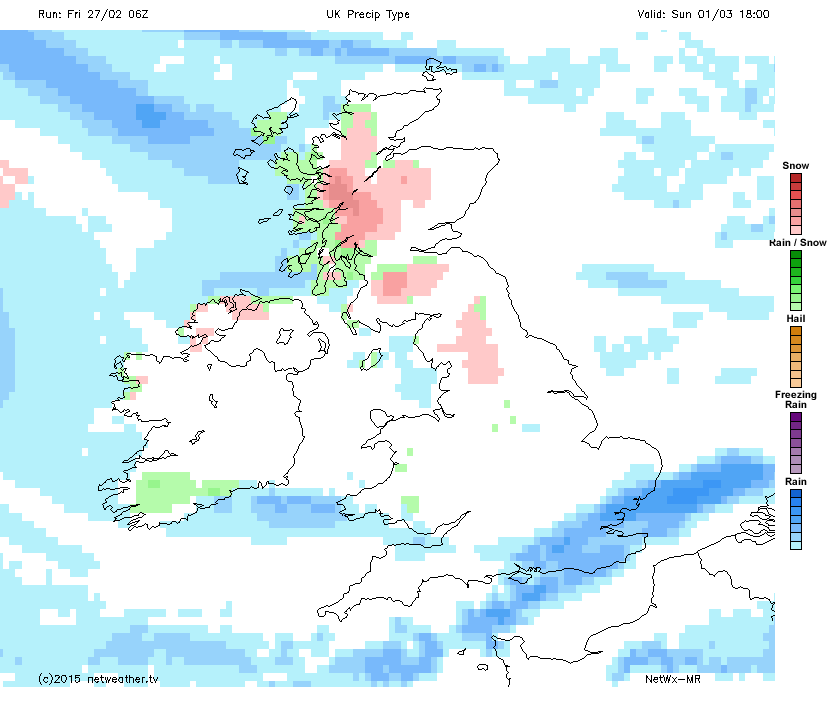
Sunday starts with continuing strong winds and rain, which will ease to blustery showers with sunshine thorugh the day. As a sting in the tail for the first day of Spring, colder air will again move in, turning those showers wintry from the north west of the UK as we head into the new week.