It's a fair start for most areas today, away from the far north west, and temperatures are around average for the time of year. It will turn increasingly wet and windy from the north west, and that will spread slowly south and east over the next few days, with colder air and showers following behind.
It's a fair start for most areas today, away from the far north west, and temperatures are at or just above average for the time of year. But it will turn increasingly wet and windy for the north west, and that will spread slowly south and east over the next few days, with colder air and showers following behind.
The southern half of the UK is enjoying some bright winter sunshine today, as high pressure keeps things quiet and calm, though some cloud has rolled in over Wales. Further north it's a bit more breezy, and showers are still blowing in from the north west for Scotland, Ireland and N Ireland, but not reaching too far east currently.
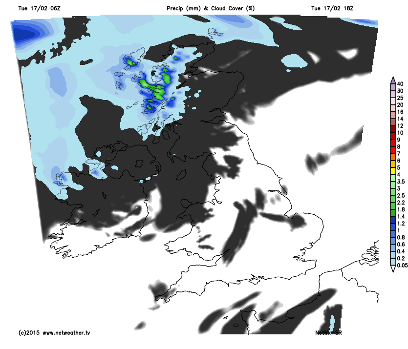
The showers will turn more persistent later today, with some heavy rain for western Scotland, and it will become more blustery. This rain very slowly edges south and east over the next couple of days, before bands of showers arrive for the whole of the UK from the west for the last couple of days of the working week.
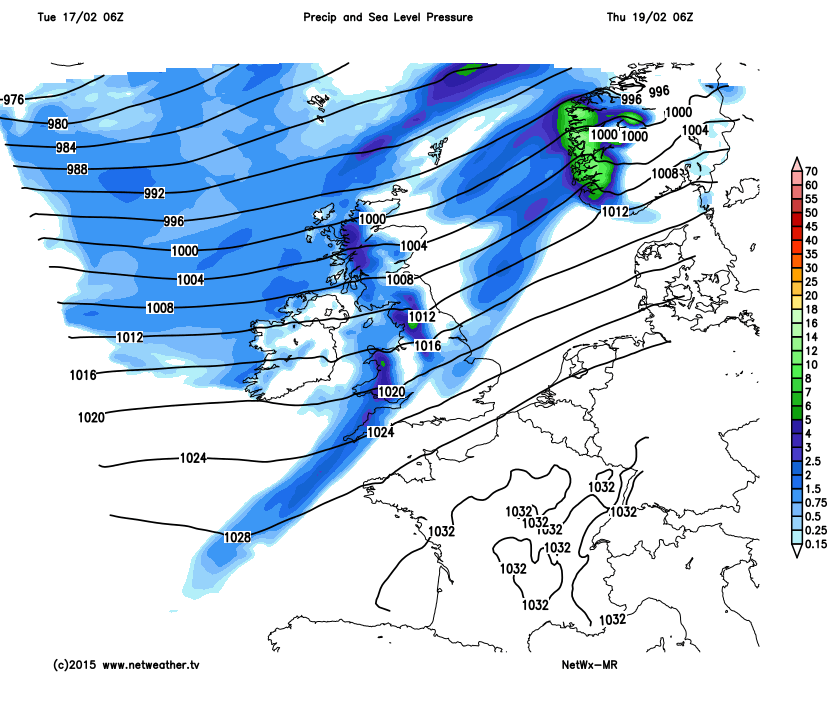
Following these showers, it will be much colder with showers blowing through on a chilly north westerly wind and we see a return of wintry showers for northern hills.