


Latest synoptic outlook, looking at the likely weather affecting the UK over the next 14 days. A transition to a less blocked outlook, with more in the way of wind and rain but also cold weather at times with snow over northern hills.

The general outlook for the next 14 days is of a transition to a much less blocky pattern over much of northwestern Europe and also upstream across North America, as a fast, zonal and low amplitude jet across Canada and the far Atlantic sinks slowly south across the N Atlantic and northern Europe over the coming days.
As a result, the current anticyclonic conditions across the UK this week, under the extension of the Azores and eastern European highs will be slowly replaced by increasingly cyclonic conditions from the NW this weekend. Next week, cold vortex over Greenland and strong westerly jet will drive 2 or perhaps 3 successively deep low pressure systems east to the north of the UK passing close to Iceland then on towards Norway. Each of these systems will bring spells of wind and rain followed by a cold polar martime airmass across the UK, with an increasing risk of wintry showers in the north. The first swathe of cold air of polar origin looks to sweep across the UK on Sunday, followed by a brief return to milder Tm air on Tuesday before cold polar maritime returns across the UK on Wednesday and perhaps hanging around until the end of the week as winds remain NWly. So all-in-all, the outlook for the next 10 days is looking predominantly chilly overall, though there will be brief milder interludes next week ahead of approaching lows to the north.
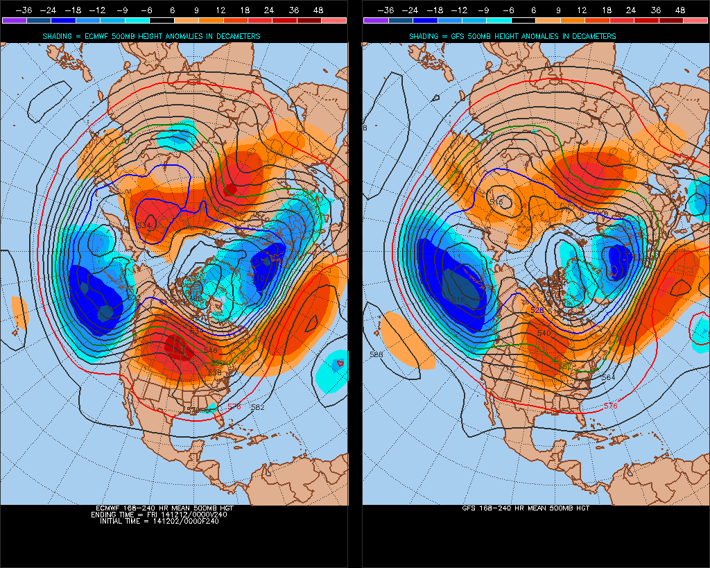
Days 10-14, looking at the CPC 8-14 day 500mb heights chart and 00z GFS ENS mean and postage stamps point towards lower heights towards the north of the UK and higher heights to the south, with a cyclonic westerly flow across NW Europe including the UK, this bringing alternating mild martime and cold polar martime airmasses, with a continued risk of wintriness in the north with the latter.
In more detail for the rest of the week, the UK will be under an anticyclonic circulation over the next few days as high pressure to the SW pushes across the UK, it will be on the chilly side for many for much of the week. A cold front clears SE across southern parts Tuesday, bringing a grey day across south England with patchy rain and a raw northeasterly wind, while central, northern and western areas brighten up. The cloud and rain hangs on across the SE tonight and Wednesday, drier and brighter elsewhere after a frosty start, though far north of Scotland seeing some cloud and rain, turning milder here to. Mostly dry Thursday though still perhaps cloudy with drizzle across the SE. Another cold front sweeps SE on Friday, bringing cloud and a weakening band of rain south, followed be clearer and colder conditions with wintry showers in the north.
Over the weekend, Saturday looks like turning wet , windy and milder across Scotland and N. Ireland, dry, bright and chilly elsewhere after a cold start. Rain spreading SE on Sunday, followed by much colder, windier and brighter conditions from the NW, with frequent wintry showers across the north, bringing perhaps significant snowfall over mountains.
Next week, a chilly but bright day on Monday with showers easing back to western and northern coasts. Milder on Tuesday, wet and windy conditions perhaps spreading east across most areas. Cloud and rain clearing the south middle of the week followed by much colder and brighter conditions with blustery wintry showers across northern areas, gales or severe gales developing across the north. Remaining cold for the rest of the week with strong northwesterly or northerly winds bringing further wintry showers, especially in the north.
Then following weekend perhaps seeing winds easing and turning less cold for a time before more cloud and rain arrives from the NW ahead of next low pressure system. Colder, brighter and showery conditions perhaps returning from the NW. Generally the theme is to stay unsettled still by the time we reach the middle of December, with alternating mild and cold conditions.


