


It's dry and bright, bit chilly at night but still warm in the sunshine. Not bad although not that interesting for weather forecasters. A chance to draw breath in this settled spell, before flooding, gales and winter in general kick in.
A touch of cold in the Autumn night T.E. Hulme
Summer’s coming to an end, there is a nip in the air and across the countryside, hay is being baled and fields ploughed. The UK is seeing a long settled spell this September, of mostly dry, calm and bright weather, thanks to areas of high pressure. Farmers will be pleased and many teachers, not having to face indoor playtime at the start of term. This settled spell will hold on this week, and through the weekend (13th/14th)
At some point, the settled spell will break down. The trend is for the high to fade away to the NE as the low pressure lurking off NW Iberia manages to push up towards SW Britain. So Cornwall and Devon and southern Britain will be first to see a change to windy and unsettled conditions but NE Scotland should hold onto the fine weather for longest.
Forecast models often show the break down too quickly. Last week, I was looking at the forecast for Thurs 18th Sept (Referendum Day) and the T+348 chart (a fortnight away) showed a bullet low centre (so remnants of an ex-hurricane) heading towards the UK. Not ideal for getting out and about to vote. However, that is not present any more, yet the T+264 (from today) shows another tropical system coming out of the eastern seaboard. Long way off and ahead of that, currently there is a nasty mid-latitude autumnal low to contend with. So a signal for a breakdown to come.
Charts for next week show that as the Low to the SW eases up to Britain and the High slips towards Scandinavia, there will for a time, be a flow of warmer air coming in from the continent. So there could be a few days of real warmth and temperatures reaching up into the mid 20s, maybe higher in the south, cloud dependent.
So, weekend looks fine, start of next week settled for most but by the end of that week (Sept 19th/20th) it is more likely we’ll be seeing some rain or blustery showers and not this stagnant weather.
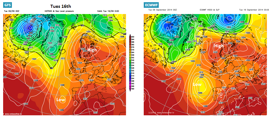
Comparision charts from Netweather Extra show GFS keeping low away from SW for longer, but ECMWF nudging the unsettled weather in more definately.
Enjoy this harvest lull, as soon enough...
Come autumn’s scathe — come winter’s cold E. Barrett Browning
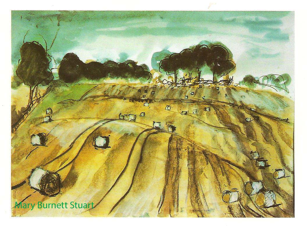
Painting by Mary Burnett Stuart


