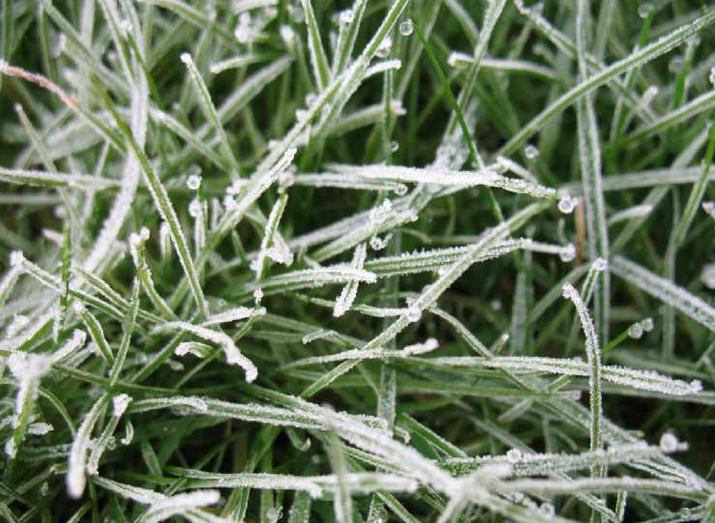
Down to -7C last night with a Friday frosty start for many. High pressure holds on into next week but with more cloud about for the weekend.
Last night was chilly. Clear skies, a beautiful moon rising and a clear view of the stars. Temperatures fell down to -7C in southern England with a widespread frost to start Friday. It won’t be as cold tonight after a fine day for much of the UK. High pressure remains through the weekend, even til the end of January bringing more settled, dry weather. However, there will be more of a breeze, more cloud, and a bit of rain in the far northwest of Britain as weather fronts wave past. The high pressure will keep the weather steady for most.
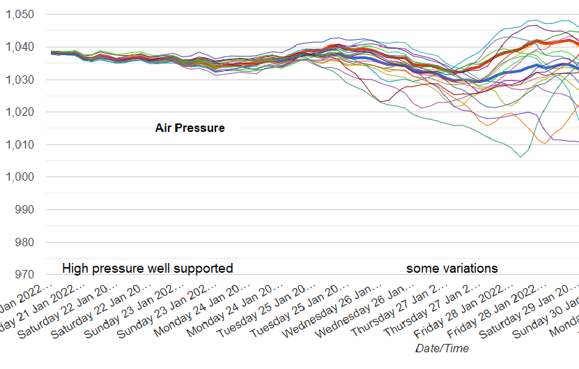
Good model agreement into next week that the high pressure just stays over southern UK
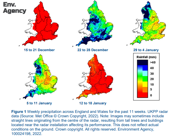
Last week was dry, away from NW Scotland, and this week has been very dry for Wales, England and eastern Scotland.
Rainfall- “It has been a drier week across most of England compared with last week. Rainfall totals ranged from less than 1mm in east England to 6mm in south-west England. Rainfall totals for January so far, range from 29% of the long term average (LTA) in north-west England to 40% in central England.” Environment Agency (until Jan 18th 58% of month)
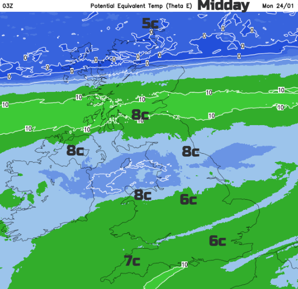
No snow in the forecast and the coldest air is edging away from SE Britain this morning. Eastern and southern Britain will see frost in places overnight but a milder start on Saturday for Scotland and Northern Ireland, particularly for the north and west. Around 9 to 11C in the north, with brighter breaks for eastern areas. but around 7 to 8C for Wales, 8 or 9C for northern England. The increase in cloud will vary over southern Britain, so 6 to 8C here.
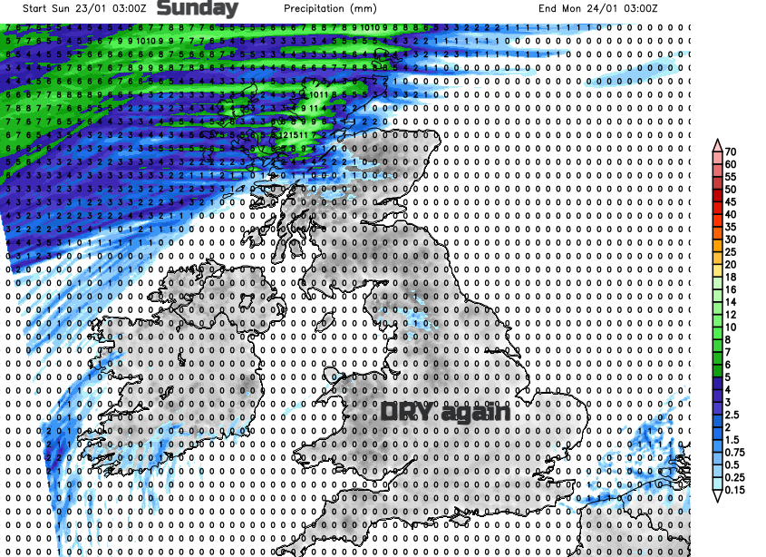
It is a similar story for Sunday. A good deal of cloud keeps the temperatures in mid-single figures but some sunny breaks. NE Britain looks likely with more of a SW wind picking up by Sunday. The cloud will be thick enough at times for patchy light rain in the west and the lurking frontal boundary will reach down to northern Scotland during Sunday night. Colder air will reach the Northern Isles but a similar day for much of the UK as that front fades.
The model output varies Tuesday into Wednesday with the detail of when the next front will dip over the northern half of the UK but for the south, it stays settled, dry but with more cloud than of late.
By night where breaks appear in the cloud, there could be frost or fog forming but otherwise, it is more of the same with the high remaining until the end of the month.