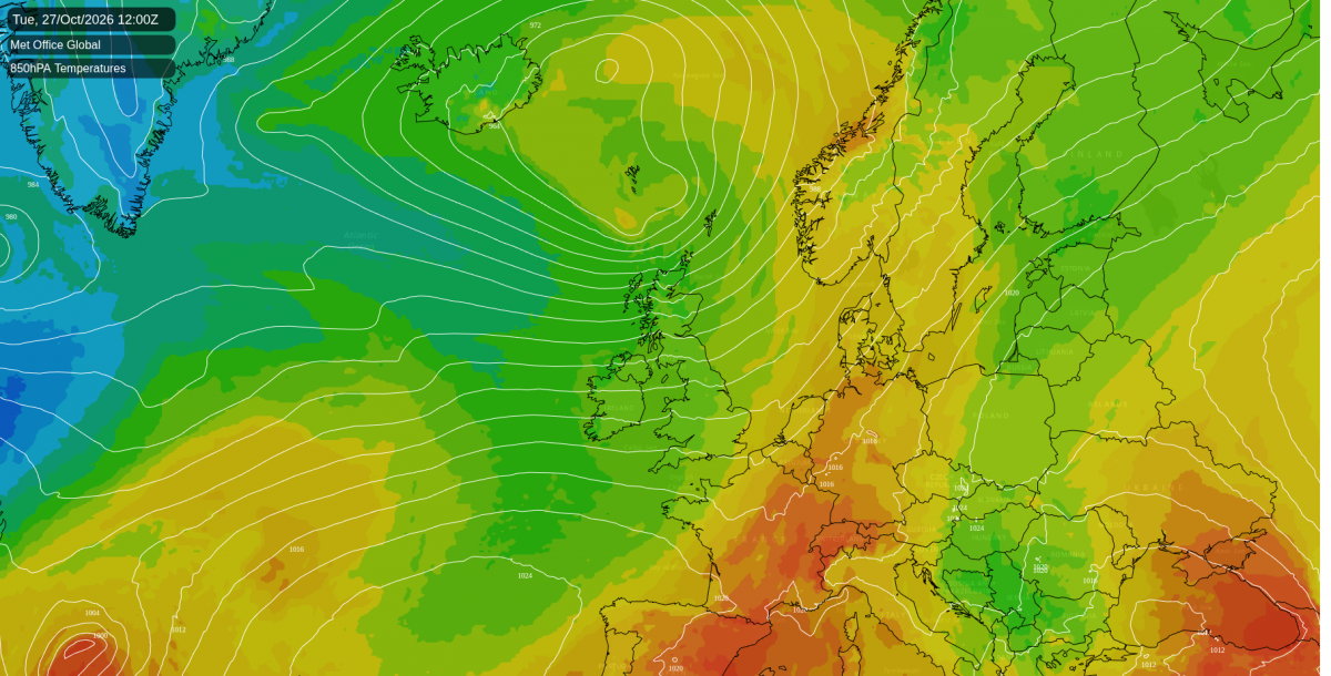
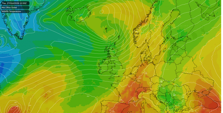
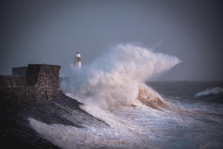
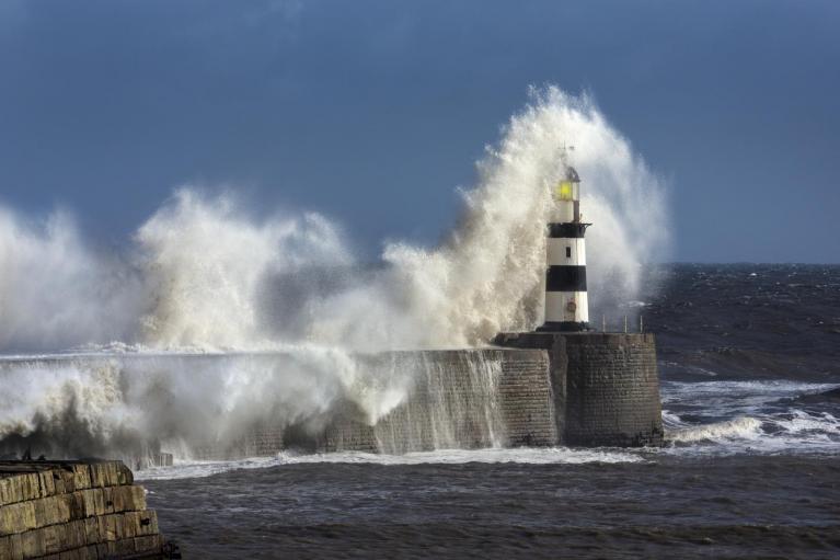
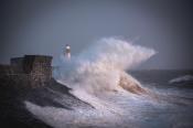
A deep area of low pressure west of the Outer Hebrides is pulling away north towards Iceland, and the winds are strongest over north-west Scotland as it goes. Gusts of 60 to 65mph are likely on the coasts of the Western Isles, Skye and Wester Ross through the morning, and 70 to 75mph on the most exposed headlands and hills. Orkney and Shetland are expected to be windiest from midday into the evening. Across central and southern Scotland, Northern Ireland and the Isle of Man, 45 to 50mph is more typical. The Met Office has yellow wind warnings in force until 9pm, covering every part of Scotland as well as counties Antrim and Londonderry. The wind eases this evening as pressure rises from the south.
Showers will be frequent across the Highlands, Moray and Aberdeenshire today, and most places there will catch at least one, with the odd rumble of thunder possible. They are likely in central and southern Scotland too, and later this afternoon and evening in Wales, south-west England, Yorkshire and the north-east of England. Northern Ireland and north-west England have about an even chance of a shower. Across the Midlands, East Anglia and the south-east there is around a 40% risk of one, and East Anglia and the south-east should turn dry after dark. The south-east gets 16 to 17C around London and on the Hampshire and Essex coasts, a degree or so above average, while most of Scotland gets 11 to 14C.
A band of rain reaches the Argyll coast late this evening and crosses the Highlands and central and southern Scotland around midnight, heavy for a time over Argyll and the southern Highlands. It spreads to Northern Ireland, Galloway and Cumbria in the small hours, then northern England and Wales around dawn on Wednesday. Rain is likely across the Midlands too on Wednesday morning, and south-west England could catch the tail of it, before the band fades over the Pennines. East Anglia and the south-east will stay dry on Wednesday, while showers linger in western and northern Scotland. Cumbria needs watching. The Environment Agency already has a flood alert out for the Upper Derwent and Derwent Water, where river and lake levels remain high.
Behind the rain, high pressure builds from the south-west on Wednesday and settles over the southern North Sea on Thursday and Friday. Thursday brings light winds, from between south and south-east over England and Wales and from the south in Scotland and Northern Ireland. Thursday will be dry across England and Wales. Parts of Scotland have a 20 to 30% risk of a little drizzle. Afternoons on Thursday and Friday are expected to reach 13 to 16C in England and Wales and 12 to 14C in Scotland, close to average for late October.
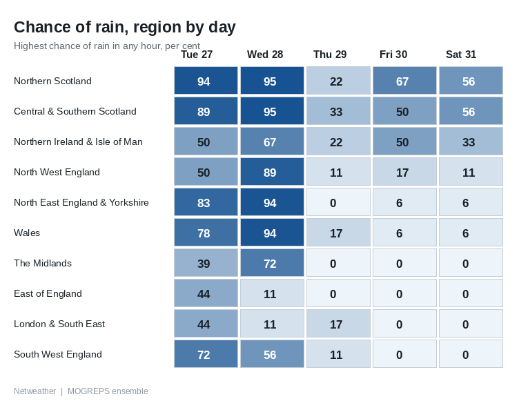
On Friday a weakening weather front edges into Northern Ireland and western Scotland, running up against the western flank of the high. Rain is likely across the west Highlands and Argyll from around midday, with around an 80% chance on Friday near Fort William and on Skye, while Belfast and much of southern Scotland are nearer a 50% chance.
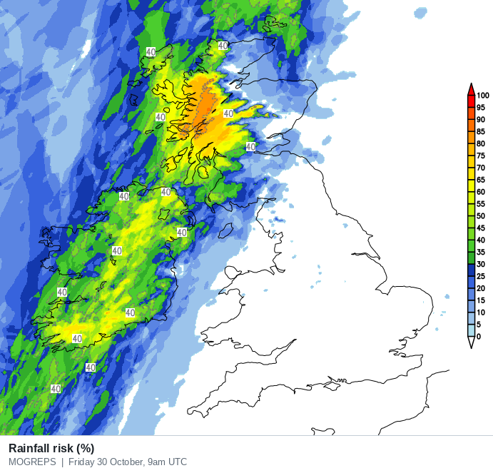
The ECMWF model pushes a deeper trough into western Ireland, so Friday could turn out wetter and breezier in Northern Ireland and western Scotland than this; the Met Office and American GFS models keep the front weaker. England and Wales will be dry on Friday, with long spells of sunshine across southern England and East Anglia.
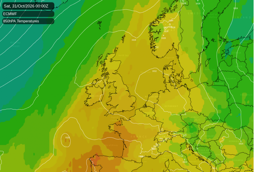
The high is expected to be centred over the UK or just beside it on Saturday, so there will be little wind anywhere. What is left of Friday's front lingers on Saturday as a line of patchy light rain and drizzle from Northern Ireland across south-west Scotland to the Borders. There is around a 60% chance of some rain across much of Scotland, and Belfast is nearer a 30% chance. England and Wales look dry and sunny. Saturday afternoon should reach 11 to 15C, highest in the south.
Clearer skies let the nights turn colder towards the weekend. By dawn on Saturday the glens of the west Highlands and parts of western Northern Ireland could fall to around freezing. By Saturday evening a ground frost is likely in the Highland glens, around Aviemore and in upper Deeside near Braemar, where the air is expected to drop to around 2C.
Loading recent activity...