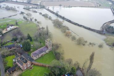
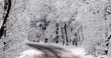
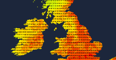
The cold, northerly air doesn't want to let go just yet. Southeast England will feel warmer this weekend, away from the rain but it's a mixed weekend coming up.

Weather In
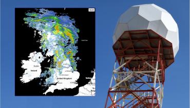
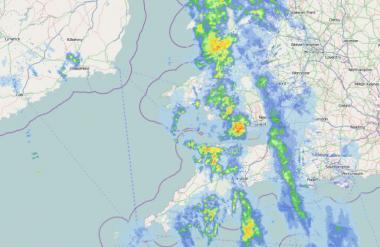
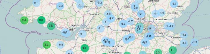
Track the latest rain, sleet and snow on the Netweather Radar
1 |
1 |
||
2 |
2 |
||
3 |
3 |
||
4 |
4 |
||
5 |
5 |

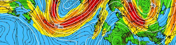
We keep a chilly northerly flow going through much of the coming week, especially noticeable in the east. Cloud and rain spreading south Monday, but after that, most places largely dry until later in the week, when it looks to turn more showery.
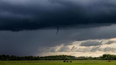
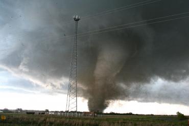
Several funnel clouds have been spotted over the last few days under thunderstorm clouds, this blog looks at how they form and why they are different to tornadoes.


 UKV
UKV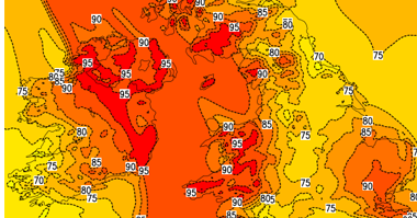 NetWx Model
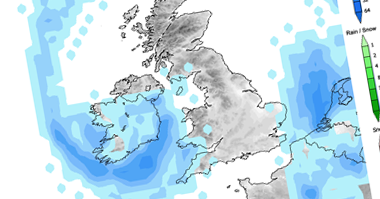 GFS
GFS Fax
Fax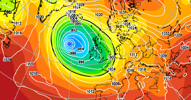 ECMWF
ECMWF GEFS Ensembles