No sign of any end to the unsettled weather over the next week, and probably beyond.
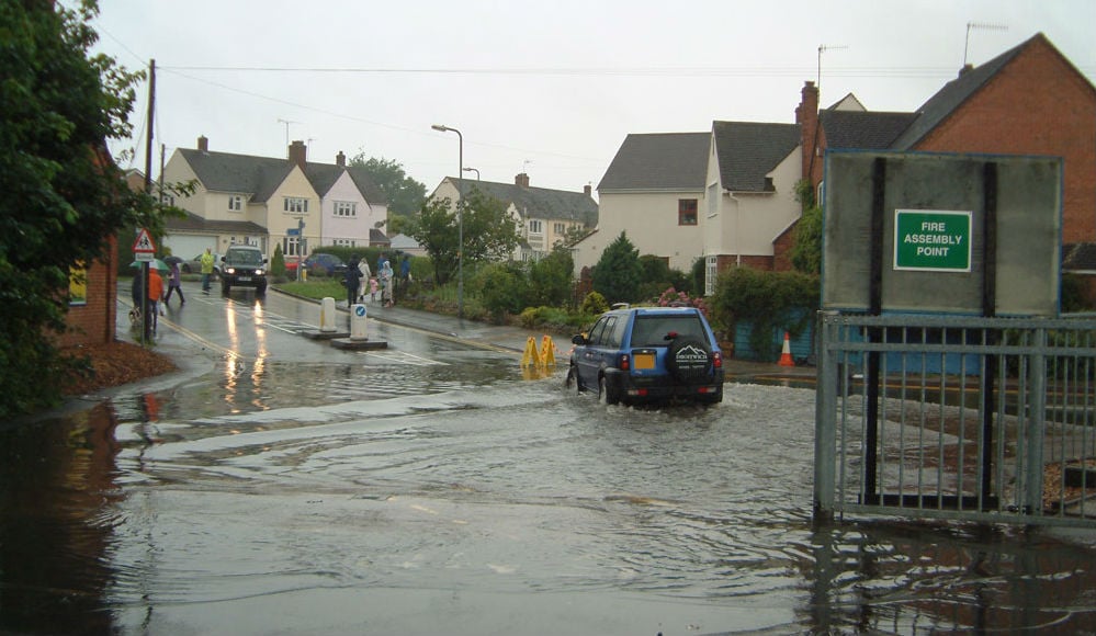
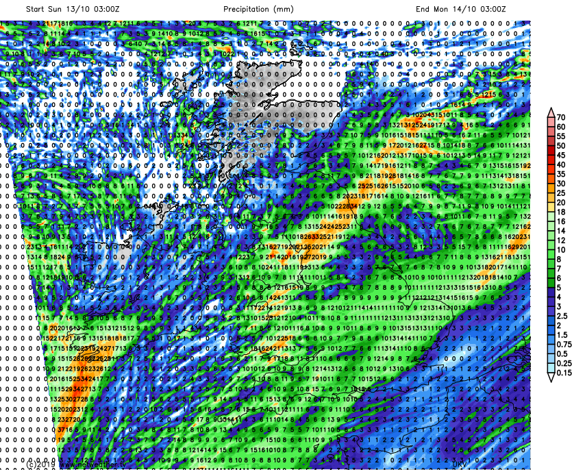
The unsettled, often wet weather continues this weekend and shows no sign of ending yet. In fact, right into next week, there isn't likely to be a 24 hour period when somewhere across the UK or Ireland doesn't see at least 25mm of rain.
Today (Saturday), much of the rain is over southern England with sunnier spells and a few showers elsewhere. But the wet weather is going to be spreading north and east overnight and into tomorrow.
That rain will be associated with a small area of low pressure nipping across the country from the southwest, and with the rain, there'll also be some strong winds. They'll be blustery across much of England and Wales, but southern and particularly southeastern counties could see gales for a time during Sunday.
At the other end of the scale, although there'll be some showers around, much of central and northern Scotland will miss the wettest weather this weekend. Winds will be lighter here too, but it will be quite chilly with maxes of 8-12c at best. Elsewhere, 13-16c will be about the peak today. Tomorrow sees that cooler air in the north head further south, bringing maxes into the low teens for most of England and Wales. The southeast corner will buck the trend early in the day though, with the last knockings of some milder air bringing highs of 17-19c, before cooling off into the afternoon.
The rain totals from Saturday night into Sunday will be highest in Wales and Northern England.
The rain should clear western parts during the morning on Sunday, leaving sunny spells and a few showers behind it. It'll be later in the afternoon before it's away from eastern coastal counties though.
Into Monday, there's likely to be at least some showers, but also the threat of more persistent rain moving up from the south thanks to another low pressure system. There is some uncertainty over this one though, with some models bringing the rain up into many parts of England and Wales, and others having it just graze the southeast. The most likely outcome is for the wet weather to be more widespread, though.
Tuesday is set to give us a brief respite with just a few showers, as we'll be between systems. But, by mid-afternoon, the next band of rain is likely to make it into the west of Ireland, and it'll be crossing into Britain overnight and during Wednesday.
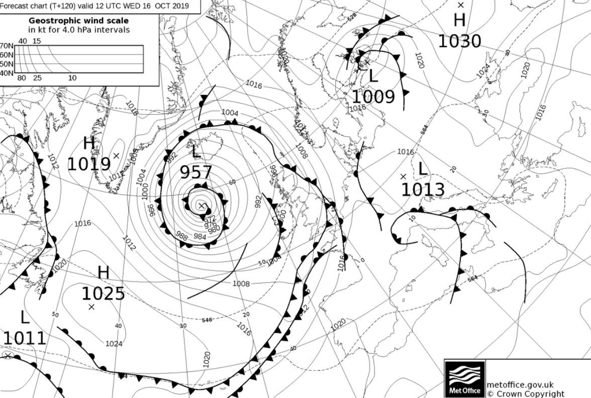
That spell of rain will be thanks to a weather front pushed through by a deep area of low pressure out west of Scotland in the Atlantic. That's going to head closer into the latter part of the week, bringing with it some strong winds across the northern half of Britain and Northern Ireland. With the winds, there'll also be a good number of showers - these likely to be most frequent in the north and west.