High pressure stays in charge until the weekend, keeping the fine weather coming and temperatures will be on the up too. Changes are afoot though with unsettled weather arriving by Sunday.
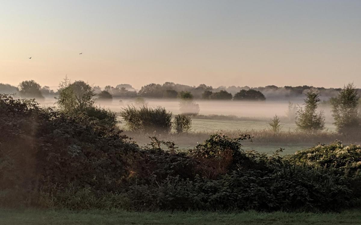
High pressure is well and truly in charge of our weather for the remainder of this week. So, there'll be more chilly, misty mornings followed by plenty of sunshine in the day. As the high starts to move east though, we'll start to draw in warmer air from the south, with temperatures pushing toward the mid-twenties by Saturday.
The problem is though, as the high gets further away, it'll invite low pressure to make a move our way. It'll bring showers into the west on Saturday, which'll become ever more widespread into Sunday. Another noticeable change as we end the week and head into the weekend will be the wind. It'll strengthen on Friday, blowing up from the southeast and will continue through Saturday. Into Sunday it may fall lighter for a time, before picking up again, this time from the southwest as low pressure nears.
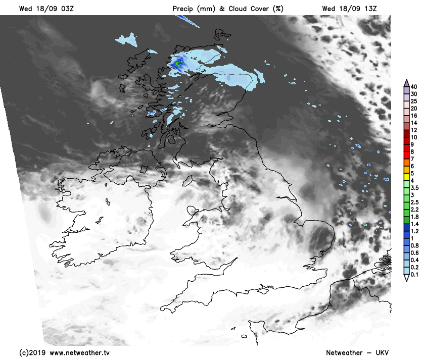
Back to today, and once any misty patches clear, much of the country will enjoy long sunny spells, with virtually wall-to-wall sunshine in the south. There will be a bit more cloud from northern England northward though, and the north of Scotland will see some patchy rain moving through at times.
Temperatures will about be on a par with yesterday, so reaching the high teens or low twenties in England, Wales and Northern Ireland. It'll be a bit cooler in Scotland though with maxes reaching the low-mid teens typically.
Another chilly night follows, with perhaps some thicker mist and fog patches by dawn in parts of Northern England and Southern Scotland. Once they clear, just about all parts - including Scotland, will see a mostly sunny day. Temperatures are likely to be just a notch up on today's values as well.
Thursday night won't be as fresh as recent nights. Then Friday will bring more sunshine. It'll be warmer again as well, with highs widely making their way up into the low twenties. It will become increasingly breezy, if not windy in exposed spots though.
Saturday then sees the warmth peaking, with maxes reaching 24-26c, despite the gusty wind.

Cloud will increase from the west during the day though, with some heavy, showery rain moving up from the southwest into Ireland. Some of that may make it into western and perhaps also southern Britain by the end of the day.
More showers are likely to spread north and east overnight Saturday with further, at times, heavy downpours blowing through on Sunday. Not all will catch one though, and between there should be some brighter, sunnier spells but it won't be as warm as Saturday was. A period of more persistent rain may affect the far northwest during the day as well.
That leads us towards a pretty unsettled week next week, as low pressure takes a much more active role.
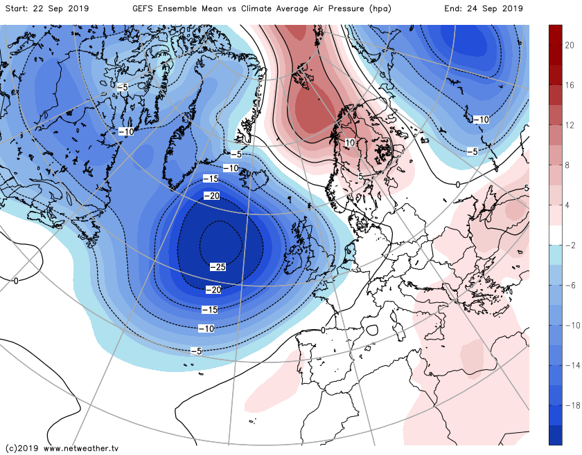
It's likely the north, and particularly northwest will see the most frequent wet and windy weather, with the southeast more sheltered and often, but not always drier.