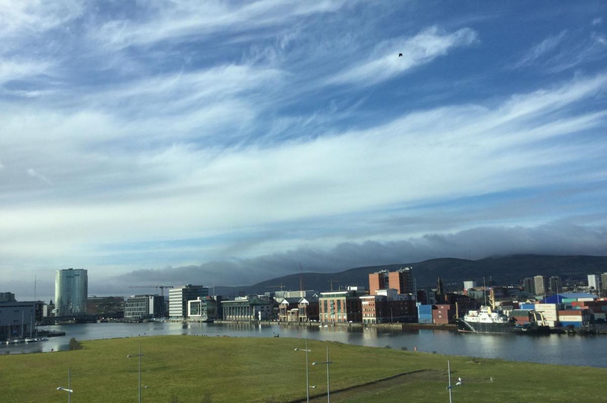
Not bad this weekend, with a lot of bright and dry weather. These winds will ease and the patchy rain clearing later on Friday. The new storm list is out #NameourStorms 2019/20
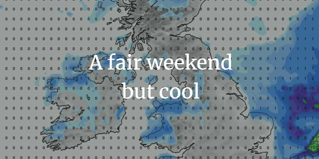
A blustery Friday with some rain around but the weekend looks much more settled. It will be cooler, even nippy with a touch of frost by Sunday morning but still not bad overall.
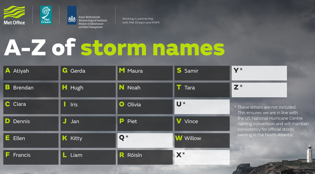
The new 2019/20 #NameourStorms list is out. Now bigger, you’ll have to decide if it is better. It combines the UK Met Office and Irish Met Eireann as before with KNMI the Royal Netherlands Met service. Spain, Portugal and France have been working together recently to name their storms. So, any of the 3 Met services can name a storm, Met Eireann name more as the weather, large lows, comes in from their side, off the Atlantic and their warning criteria is different to the UK Met Office.
Thoughts? There has been a thread on the Netweather forum since this started in 2015
Today
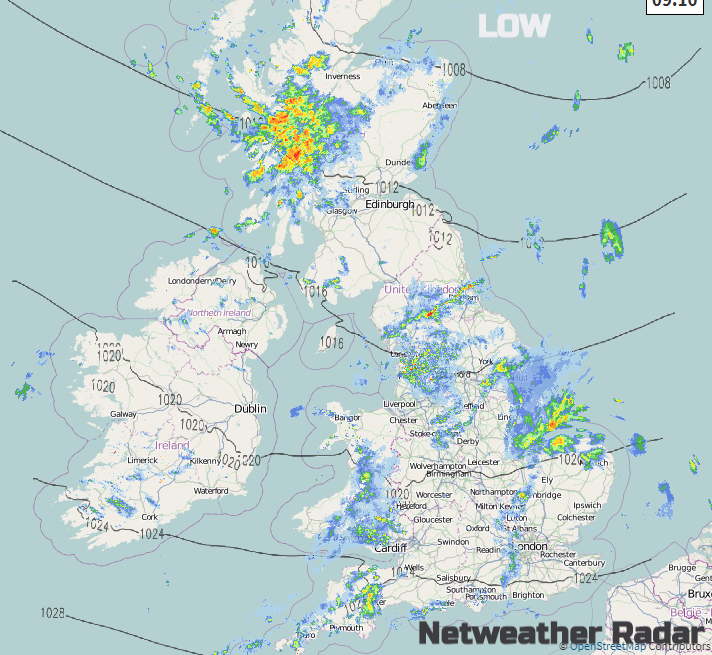
There are fresh SW to westerly winds this morning making any bright areas seem a bit cooler. An occluding front is moving SE across Britain bringing more cloud and outbreaks of rain with the occlusion wrapping round over NW Scotland resulting in more rain. From the southern front, there will be some heavier pulses this morning over SW England, more wet weather around the Wash into Norfolk and patchy rain in between. The bits over northern England will turn more showery and there could be some heavier showers here this afternoon as this moves over eastern England. The rain in the far NW skirts over Strathclyde by lunchtime but breaking up.
Most places will have a bright afternoon, with the risk of a few showers as the grey damp weather in the south clears away over the English Channel. The winds will only ease down this evening, veering to the NW, so colder.
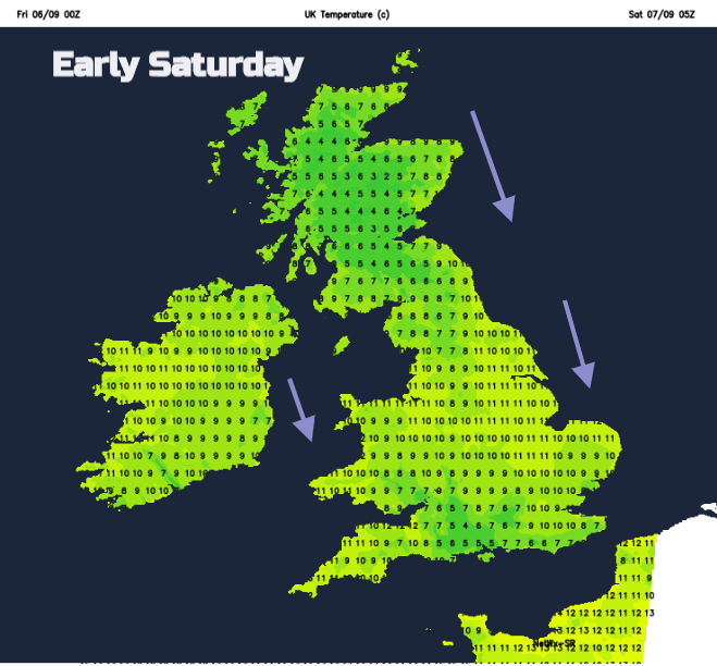
Brisk N/NW winds along North Sea coasts will make Saturday morning feel colder. It will be a dry bright day with sunny spells but still cool for most. Southern Britain could see 20C. There will just be the odd shower caught in the flow over Wales, or eastern England but these are the exceptions.
Colder overnight Saturday into Sunday, with an isolated air frost in the north or far NE
Sunday looks fine and sunny as well, just some increasing cloud for western Scotland and Northern Ireland in the afternoon as a frontal rain band heads in to end the weekend. Overall not bad at all, just nippy after dark.
The Express are getting very excited (as always) about the incoming highly modified, remnants of Hurricane Dorian and TS Gabrielle, currently thousands of miles away from the UK. Dorian is the one which annihilated the northern Bahamas earlier this week and is now by the Carolinas. Gabrielle is just out at sea.
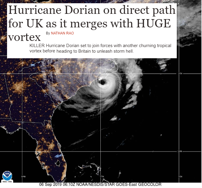
Rather poor taste after what the Bahamas have been through, that truly was “storm hell”.
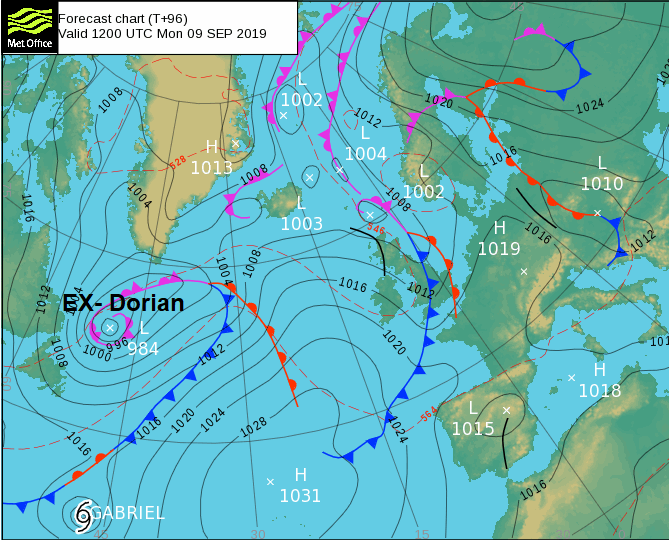
By the middle of next week, some of these systems remaining energy will be mixed up in the airflow heading our way. There could result in heavy rain later on Tuesday and maybe on Thursday, also blustery winds as one extratropical low pressure moves past Iceland. It’s autumn, we expected wet and windy weather along with bright, crisp and sunny times too. We’ll await nearer the time to see the details of this wind and rain and if these will affect the UK enough for a warning. Even if impacts were expected (which they are not currently) it wouldn’t get a storm name as ex-hurricanes etc keep their names if their previous identity is clear. Do remember that if you hear a hurricane is on the way, in the words of Michael Fish, “don’t worry there isn’t”. Remnants maybe, yes.