After some cracking thunderstorms, lightning displays and heavy rain on Tuesday there will be more unsettled weather, but not as dramatic, midweek. The heat just keeps on fading.
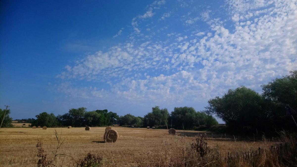
We have big weather changes after the heat of the long weekend. Greater London has seen just over 33C for three days in a row but will be closer to 18C by the end of the weekend with a fresher flow everywhere and some blustery weather on the way.
As a line of showers came up against that heat on Tuesday, there were hefty downpours and thunderstorms set off. With lightning displays and hail, it was a dramatic change from the earlier sunshine. Today won't bring such convective action, there are not any warnings in place.
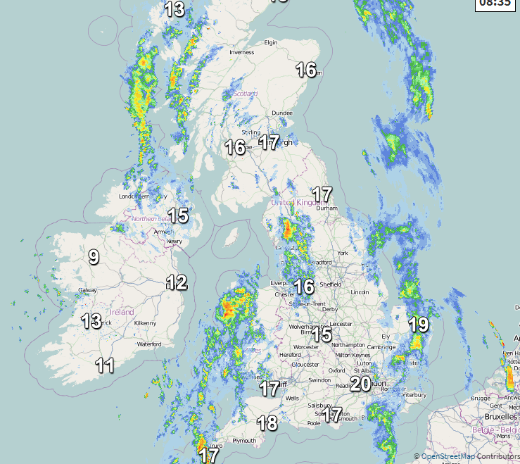
One line of showery rain will continue eastwards over East Anglia and SE England this morning, fading into the North Sea. Sunny spells then appear for SE Britain and temperatures will rise into the mid 20sC. Next up is a more distinct cold front already bringing heavy rain into NW England off the Irish Sea and trailing away to the SW.
This rain will move over Wales and SW England this morning reaching up to the Peak District. It then moves across the Midlands over the Humber but still linking back to the West Country this afternoon. Behind the front will be cooler, fresher air but still lots of sunshine as the cloud moves away from Ireland. Cloudy skies and a few showers transfer across northern Britain as the winds veer to the west.
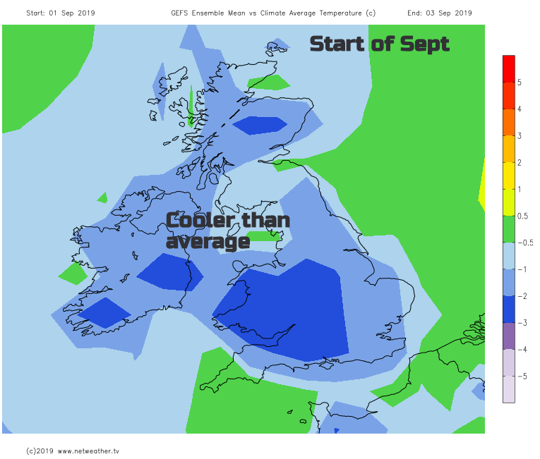
And this fresher westerly flow will continue for the rest of the week, keeping temperatures in check, bringing some rain from the Atlantic and the blustery winds. High pressure tries to build in from the Azores on Sunday but that just shifts the winds to the north. So, for the start of September and for those heading back to school, it looks cooler still.
Toda’s cold front will be over the Wash and eastern England tonight still with some heavy rain. For most Thursday will start of dry and sunny but breezy and for SE Britain a significant change from the heat at the start of the week. 22C will still feel warm. Linked to a low away to the NW, there will be a line of heavier showers for NW Scotland and just a scattering heading in from the west through the day. So just the odd shower with bright spells for most but outbreaks of rain making their way across northern Scotland. It will become more windy before another low pressure head straight for Scotland on Friday. This brings a band of heavier rain, but the SE stays more sheltered until Saturday. Once the front moves through the UK will be in the cooler airflow with sunny spells and showers from the NW.