Unsettled weather is on the way - just in time for the start of the summer holidays. But today, for most at least, it's dry, sunny and warm. This evening, many will have clear skies and a good view of the partial lunar eclipse.
The summer holidays are on the way, so it stands to reason that the weather is taking a turn for the worse this week. Today, we're still mostly dry with some very warm sunshine, but rain will be spreading in from the west tomorrow. That leads us into an unsettled period, with wet and windy weather arriving Friday and into Saturday standing out at the moment.
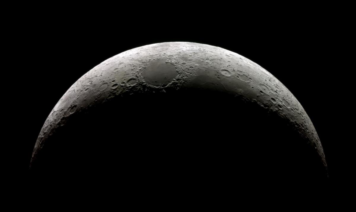
Before we get to the forecast for the next few days, there's a partial (65%) lunar eclipse tonight, The peak will be at around 10:30, and for many, skies will be clear. So an excellent opportunity to view it.
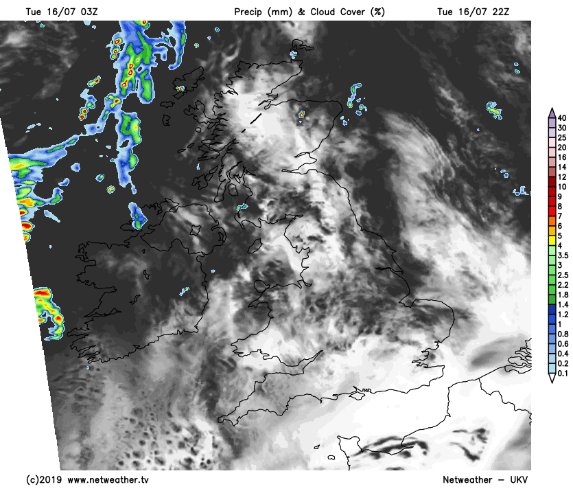
During the day today, there'll be some showers about - especially in the north and west, but also into Wales and the Midlands this afternoon. Elsewhere, with often sunny skies, temperatures will climb. Highs of 24-26c are likely in southern and central areas, 19-23c in eastern regions and 18-21c elsewhere. Western facing coastal counties of Northern Britain are likely to be coolest with more cloud.
Overnight, any showers will die out, but rain will be moving into Ireland, with some patchy outbreaks affecting western Scotland. Into tomorrow, the often showery rain will push its way southeast, introducing fresher, brighter weather behind it. Eastern parts of the country will start the day with some warm sunshine again. But the cloud and patchy rain will invade all the while, leaving the southeast most likely to stay dry until after dark.
As the rain moves through, winds will become quite blustery for a time, helping to knock the edge off of any early warmth. Temperatures will peak reasonably early in East Anglia and the southeast, reaching 25-26c. Other eastern and central parts will make it into the low-twenties but further west, the high teens will be likely ahead of the rain, the mid-teens behind it.
The cloud and showery rain will take its time to clear the southeast on Thursday. But elsewhere, the day will start with sunny spells and a scattering of showers. The showers will become more widespread during the day though, especially in the north and west, with some heavy, thundery downpours likely. Temperatures will still be very warm in the southeast, with highs again into the mid-twenties, elsewhere 17-21c will be more typical.
Friday then sees low pressure heading our way from the Atlantic.
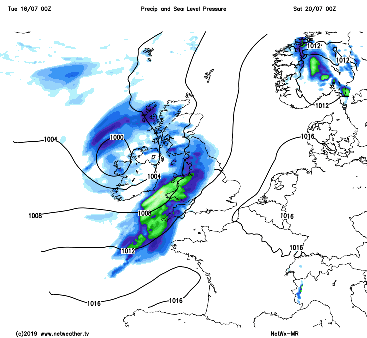
Timings are subject to change, but it does look like the rain will cross Ireland through the morning and early afternoon, reaching western Britain later in the afternoon and into the evening. Along with the wet weather, there'll also be strong, blustery winds wrapped around the low. Not ideal for travel as the summer getaway begins - so something to keep an eye on.
Into the weekend, the rain and wind will eventually clear, to leave sunny spells and some sharp, potentially thundery showers. Into Sunday, a ridge of high pressure is likely to settle the weather down from the south, but some showers may be leftover in the north. We'll also have the threat of another low moving closer to the northwest, bringing more outbreaks of rain and increasingly strong winds - but this is uncertain at the moment.