


February temperature records could tumble during the next few days, but that's only half the tale.
Not that you'd think it on a damp, and in places wet and windy morning, but once all this messy stuff clears away during the remainder of today and into tomorrow, fine, and unseasonably warm weather is going to take over. Lasting through into the weekend.
There's plenty happening in the atmosphere at the moment, as there's an exceptionally strong jet stream across the USA, which is then rushing out into the Atlantic with wind speeds in the core in excess of 225mph. Thanks to that, there's also a very deep, hurricane force low in the mid-Atlantic, but it'll be stopped in its tracks by the blocking high pressure currently over Europe.
The low and high pressure will combine to help draw up very mild air from the Azores as we move through the second half of this week. There's a little uncertainty as to just how warm it may get, but highs into the mid or high teens do look likely. The February record of 19.7c is a long shot, but something to keep an eye on, along with some of the other regional and daily records.

The first crack at a record could arrive as soon as tomorrow, thanks to the Foehn Effect, with northeastern Scotland perhaps heading up toward 18c in the afternoon. The record is 17.9c.
Back to today, we have outbreaks of rain affecting western and northern parts of the country in particular - following on from a weather front which crossed much of the UK overnight. There are also gales in exposed parts of Scotland and Northern England. The winds will tend to ease back a touch during the day, but the rain will continue to affect western facing hills in particular, with some making it further east.
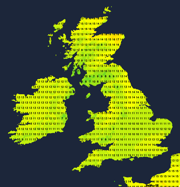
Thursday will see the cloud lifting and breaking and many of the residual drizzly bits and pieces of wet weather in the west, left over from today, slowly dying away. Those temperatures will climb as the sun breaks through too, with many parts making it into the low-teens at least.
Friday could then bring a few more outbreaks of rain into Ireland, western Scotland and northwest England, along with some extra cloud in other western regions. Elsewhere though, after some patchy fog in some southern and central parts, it'll be a fine day with long sunny spells.
Into the weekend, that risk of some outbreaks of rain may continue in the west, although it's not certain at this stage. Further east, early mist, fog and low cloud will break to bring more sunny periods, and once again temperatures will be very mild for the time of year, reaching the mid, maybe high-teens in places. There could be a bit more cloud around generally on Sunday, not just in western areas, so sunshine may be at more of a premium. But still feeling warm, especially where the sun comes out for any length of time.


