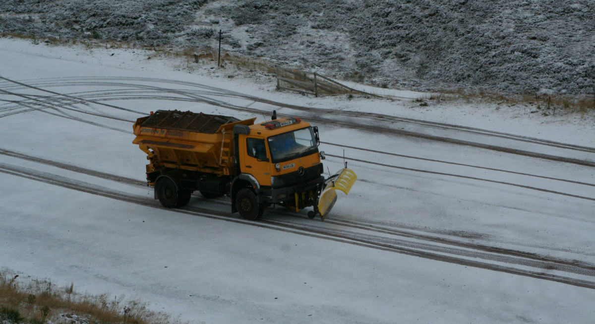
Wales and southern England, into the Midlands and East Anglia continue with tricky conditions today. With lying snow from overnight and this morning. Snow showers also for NE England and N.Scotland UK weather UKsnow
Update Friday 1st
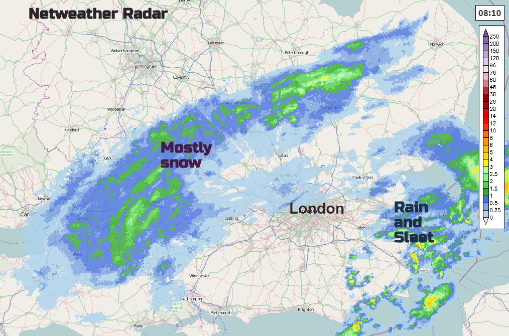
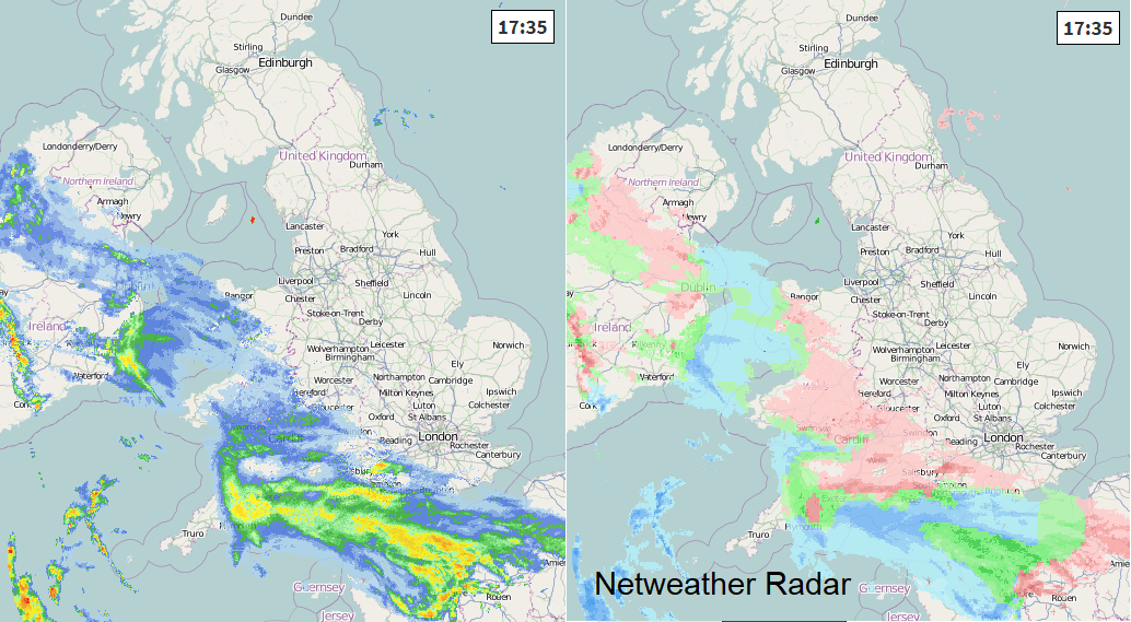
Comparing radar pic to model at 8am the front is further north and NW, so don't rely on weather app output, especially if you are thinking of travelling in central/southern Britain. Keep an eye on radar and warnings, which will get updated this morning
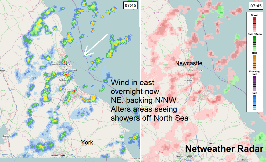
Last night easterly winds drove snow showers in off North Sea, the wind has backed to NE and will pick up today, really cold. Then turns to N/NW for Saturday, still some snow showers but different areas will be affected as wind changes
Thurs 31st
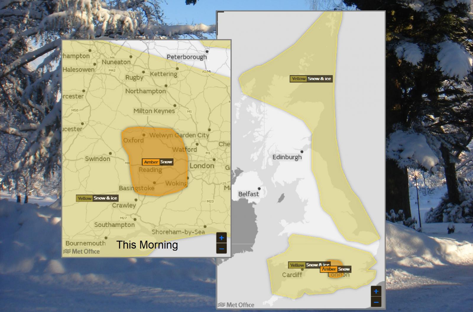
With another cold night coming up there will be the risk of ice, with subzero temperatures and frost. Some parts of the UK are also covered by Yellow warnings from the Met Office for Snow and Ice. Snow showers for NE Britain and more widespread risk of snow from the SW.
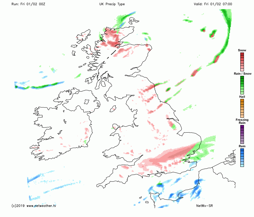
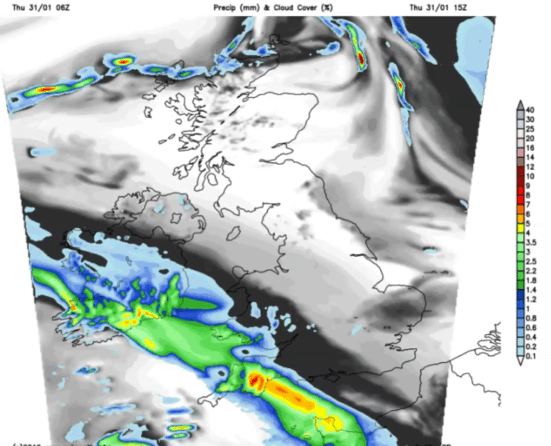
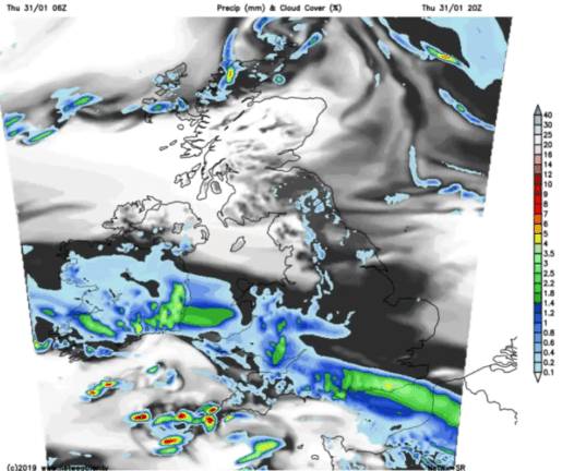
Already parts of Cornwall and Wales have seen a covering and the band of frontal rain will continue to turn to snow after dark. There is a Met Office amber warning for parts of southwest Britain, where heavier snowfall is expected through the evening rush hour. It will be worth looking at the radar, to see the progress of this band of rain and snow to perhaps adjust your plans. Click image below for up to date rain/snow picture
To give an idea of how this band of rain and snow will move across Britain, the first sequence is for this evening. There will be some variations and differing amounts of rain and snow, several cms in places with 10-15cm forecast over the Brecon Beacons. As it turns dark and any wet snow or slush freezes this will add to the tricky conditions and potential for disruption to travel.
This disruption is likely to last into Friday as the wintry conditions continue
Most of the warnings last until Friday lunchtime.