We're about to break out of our stagnant spell of weather and although there'll be ups and downs on the way, the ultimate destination looks like a cold one.
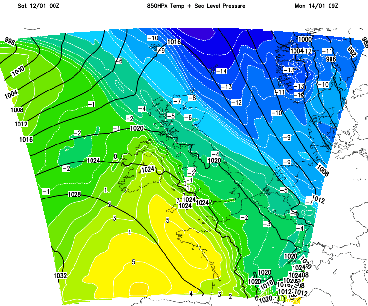
Since late December the weather has been very stagnant, but at long last, there is some movement on the way with Atlantic low pressure playing much more of a role over the next seven days. That's going to mean some rain and wind moving through at times, sleet and snow at times (mostly in the north), along with differing temperatures day to day.
Ultimately, as the effects of the recent sudden stratospheric warming start to show through, it does look likely that the weather could be turning much colder as we move toward the end of the month and into February. It's still a long way off though, and plenty of water to cross under the bridge before we get there.
This weekend, we're into a milder airmass, so temperatures will be above the norm for the time of the year. It's windy though, with increasingly blustery west to northwest winds kicking in during today and into Sunday. There's some rain about too, with patchy drizzly bits and pieces across England, Wales and eastern Scotland, but also some more meaningful wet weather in the west and north of Scotland which will hang around for much of the day.
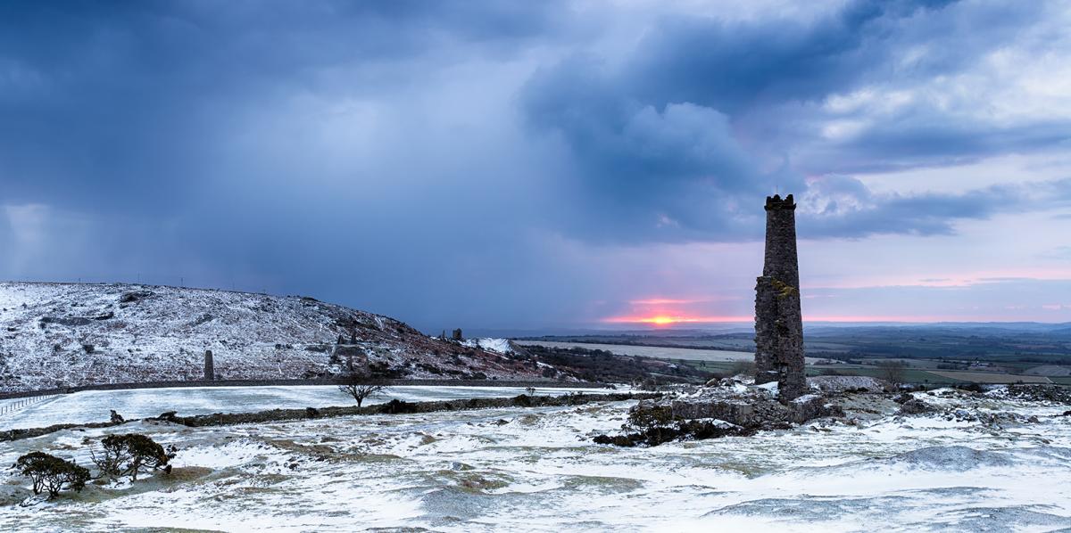
Sunshine will be a rare resource today, with the east of Scotland and northeast of England best placed to catch it - especially earlier on in the day. Tomorrow (Sunday) will be very similar in many places, but change will be starting to arrive from the northeast. Initially, that may mean a few breaks in the cloud moving down across the country from that direction, but it's later on that we'll see a more significant change as winds swing into the north and much colder air gets down into the northeast and east of Scotland, with rain turning to sleet and snow.
The main thrust of cold will be headed down into Europe though, with just a glancing blow for the British Isles. Monday will still be a chilly day in the north and east though, with some bright spells, along with some wintry showers in places. Further west, the milder, often cloudier weather sticks around.
Later in the day, west to southwest winds will strengthen again in the north, with some rain arriving to the northwest of Scotland. That takes us into a blustery, milder Tuesday with a band of rain moving down from the northwest. Behind it, temperatures will fall again with showers turning wintry across the north of the country. Midweek sees that rain band continue to move south with colder air sinking south behind it. There'll be some sleet and snow across the north of the country and over the hills in particular, with ground frosts late Wednesday and at both ends of Thursday.
As we end the week, milder air and a spell of rain look likely to try to move up from the southwest; we'll have to keep an eye on what happens when it meets the colder air in situ over the country though.