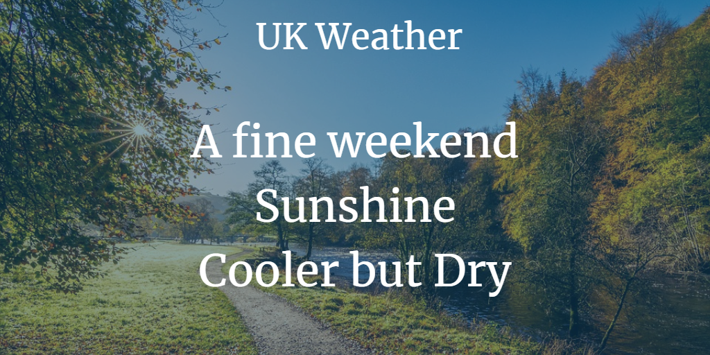
With temperatures well up in the teens and a southerly flow, we are heading to a cooler but sunny and dry weekend. Next week it will be noticeably colder with a easterly wind.
The weather continues to settle down. We lost the rain from the NW, just a fading front remains today bringing more cloud. High pressure, out to the east, will drift over Scandinavia and block any Atlantic fronts from reaching the UK. So, the forecast is dry and getting gradually colder into next week but there will be more sunshine.
We do have fog this morning through central and southern England with mist elsewhere. This will lift to low cloud and give a grey picture and we have the frontal cloud too. There will be good breaks for north Devon, north Wales, Lothian and northern Scotland will be sunny as the southerly flow holds on
The fading front does delineate between milder conditions over England and Wales with temperatures in double figures and cooler air over Northern Ireland and Scotland. In the southerly flow, temperatures in Highland Scotland rose to 17.6C and 17.3c for mid-Wales, very mild. This morning temperatures in Scotland have dipped down to -0.2c but only +8.5c for SE Britain with clearer skies.
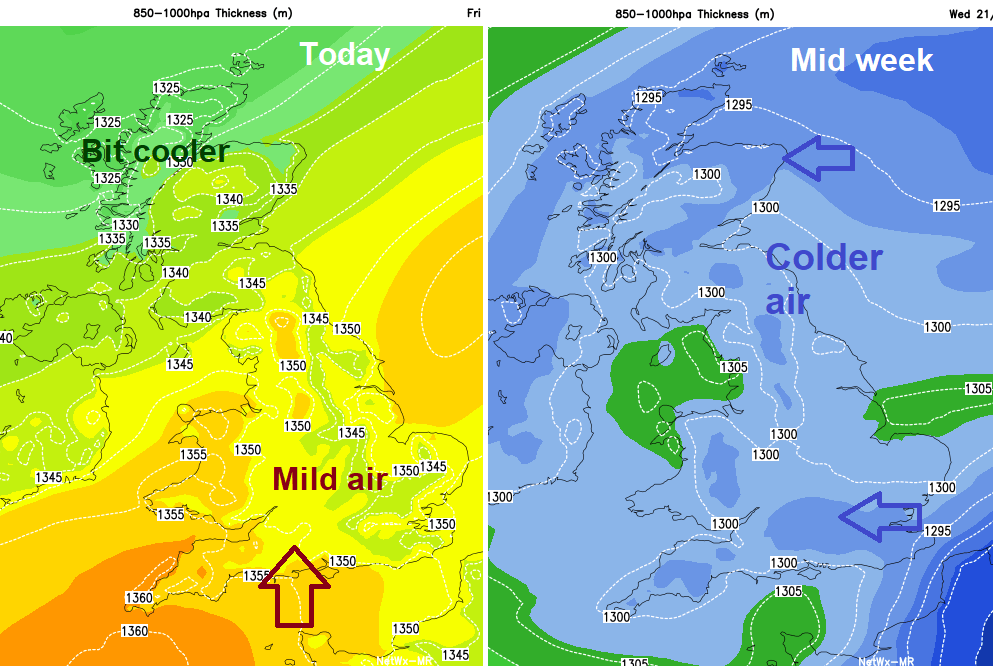
The UK is between a low pressure out in the Atlantic and a high pressure centred way to the east over Russia, drawing up the milder air from the south. As the high slides around to Scandinavia we pick up more of a SE flow, which will be cooler and then next week with another shift of the High towards the Arctic means that we get an even colder easterly flow
That doesn’t mean it’s a Beast from the East. It’s just an easterly wind.
It will feel chilly, anyone along the North Sea coast will vouch for that and the difference from now to next week will be rather stark.
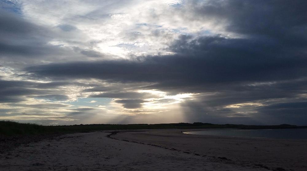
Today these sunnier spots in the west could see 16 to 18C and NW Scotland will do well in this flow on Saturday, with temperatures up into the high teens, well above the mid-November average. All thanks to the Foehn effect.
Tonight, will be cloudy and murky again, with gaps in the far NW and the cloud breaks for SE Britain early on Saturday morning.
Through Saturday drier air moves across the UK, so the clouds disappear, it becomes sunny with blue skies and although most places will feel cooler it will be a lovely day. Northern Ireland will have a fresh SE to E wind so that will add to the cooler feel. Saturday brings the risk of frost and that will increase as we head into the new week.
Sunday will also be fine, dry, sunny but cool
By Monday things begin to change a bit as low cloud heads in from the North Sea. These gloomy grey skies will then blanket the UK next week. Western shores could still get sunny, bright breaks but there will be moisture in the cloudy flow.
Stratus give drizzle, frozen drizzle is known as snow grains.
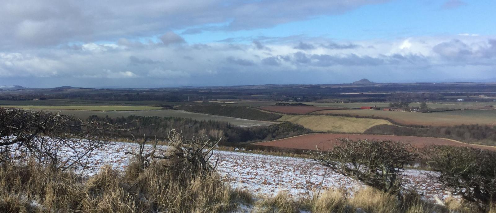
It will feel colder next week with daytime temperatures only around 5 to 9C and a cold wind backing east to NE. What about snow? Not really, not yet, sorry folks. You might see sleety, icy looking precipitation from Tuesday onwards. The snow grains could give a temporary thin whiteness and there might be a scant patchy covering for the Cheviots, north Pennines and Grampians. It's only November, there is time yet.
More weather / climate/ hunt for cold/ snow lover hater chat on the Netweather community forum