Plenty of rain for Ireland and Scotland already but the winds will only strengthen today with severe gales, gusts up to 80mph and disruption already in the north. #StormAli
Storm Ali the first named storm of this season will move NW Scotland today bringing heavy rain to Ireland, Scotland, NW England and NW Wales and gales with high gusts. The strong SW winds will many parts of the UK, but the UK Met Office has highlighted areas where the severe weather will have more impact and Met Eireann where winds will be strongest with their Yellow and Amber/Orange warnings. Northern Ireland this morning for the wind and rain then Scotland and northern England through the day, including the more populated Central Belt down into the North Pennines and watching NE Scotland by late afternoon.
It’s not all wind and rain. Eastern England will be blustery but fine and dry with temperatures into the low 20s. 23C for East Anglia. Much of England and Wales start the day fair with the best of the sunshine in the east. A frontal band, a cold front will make its way slowly SE during the day, bringing heavier rain to Cumbria and Gwynedd and then more cloud. This band of rain will creep across England and Wales during Wednesday, so not a completely dry picture, except for the far SE

Rain
It’s already been raining in Northern Ireland and the SW half of Scotland. The bulk of the rain around this low moves up towards the Islands by lunchtime but there will be hefty harp showers lingering and a curl of the wrap round occlusion bringing more rain into western Scotland. NE Britain will have longer dry spells but could be hard hit from the gales and gusts.

Winds
Within the yellow warning areas, there could be gusts of 50 to 60mph, coastal gales and strong winds. Through the Amber region gust of 60 to70mph are likely 70 to 80mph possible and higher for a few areas. Western Scotland along the coasts for lunchtime.
Mull of Kintyre to Ardnamurchan Point – Inshore Waters
Wind - Southerly veering southwesterly, 6 to gale 8, increasing severe gale 9 to violent storm 11 for a time.
Sea state - Rough or very rough, occasionally high for a time.

As high gusts affect SE Scotland and the far NE of England
Then through the afternoon watching eastern Scotland and the possibility of even higher gusts along the routes north Fife towards Aberdeenshire. The worst of the gales and gusts should be away from NE Scotland around evening rush hour, perhaps not quite in time

Even after all that during the day another area of gales, severe gales for the Islands heads towards NW Scotland bringing a windy night in the far north.
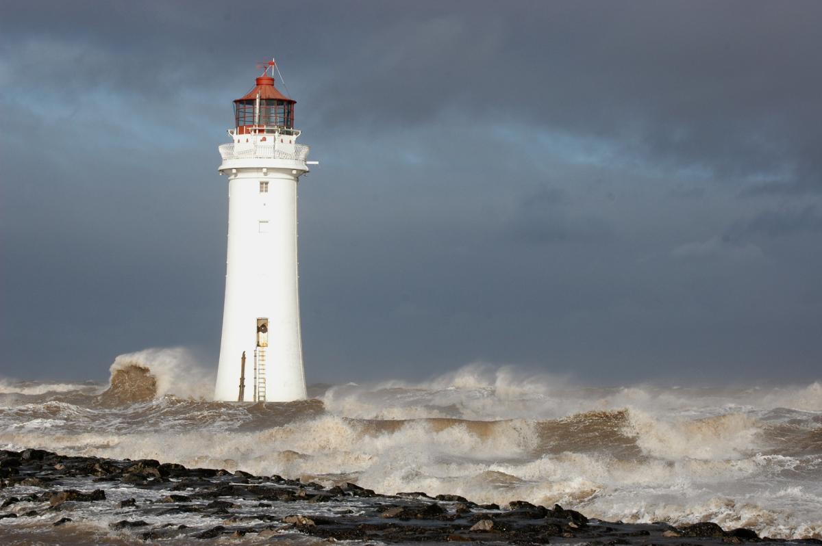
The Met office warnings mention plenty of potential impacts. Transport services including trains and ferries, lorries over on exposed routes, the A1 and A90 look prone in the east. Many of the trees still have all their leaves and this will be the first real battering of the season. There have already been reports of power outages in Ireland, flying debris and rubbish. Large waves and high seas. Flooding from the heavy rains. Do take care. And maybe adjust your plans today.
Even as Storm Ali clears off there will be strong winds over Scotland from the SW, still severe gales for Shetland on Thursday morning so ferry services may be affected. There will also be a brisk SW wind for southern counties of England and the trailing frontal band with rain from eastern England across to Wales and the SW. This develops another low and later on Thursday there will be plenty of wet weather heading over SW England, Wales and into central or northern England. A spell of wet and windy weather then pivots SE over most of England during the night. Even these winds may need monitoring.
As this clears it leaves the UK in a cooler flow with a fresh west wind and temperatures in the low to mid-teens. A real change from the warm humid air we had for the start of the working week when ex-tropical system Helene came our way.
Saturday looks fine, still cool, lighter winds but bright with sunshine and just a few western showers.

Sunday could be awful, but there is such a lot of variation with the forecast charts I would suggest waiting and keeping an eye on the forecast. It looks like the remnants of what was hurricane Florence could get caught up in the flow right across the Atlantic and pep up a low pressure heading our way. That would bring another stormy day with the centre of a big low showing right over the UK on recent charts. Well wait and see but for today it will be about #StormAli .
Discussion, updates and chat about Storm Ali on the Netweather Forum