It may be Friday the 13th but it's nearly the weekend. Saturday looks better than Sunday and warming up later next week.
It’s still looking warmer next week, particularly Wednesday onwards. For some western parts of Britain, it has been glorious in the easterly wind. Along the A87 in the NW Highlands, temperatures reached 16.8C yesterday further east, Edinburgh barely got above 6C.
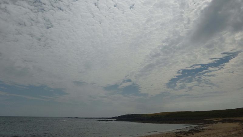
For much of the UK its another grey, murky and damp start. Its also feeling quite cool. Winds are light across the UK except for the Northern Isles were a fresh easterly continues to blow.
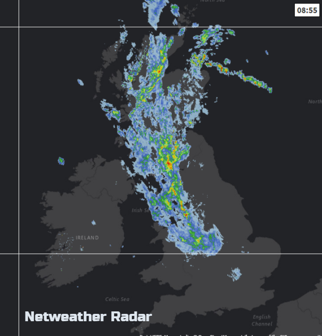
Frontal rain is nudging westwards this morning over Scotland, central & northern England and north Wales. This band is fading, so lighter rain will brush Co Antrim this morning. There should be some improvement through the day, lifting of the cloud cover but cloudy overall. SW England looks like having brighter skies even some sunny spells by this afternoon. And by Friday evening more parts of southern Britain should see some late brightness or glimpses of sunshine as tree pollen levels creep up.
We have very light SW winds over southern Britain with temperatures of 11 to 15C, warmest in the east. Further north and for Northern Ireland 7 to 13C with a hint of an easterly, so again the west coast of Britain will do better. Finally, we'll lose the grip of this easterly and its cool drabness.
Overnight it will dry with a fair amount of cloud. Still a bit of light rain for NW Scotland and more breaks appearing in the cloud for southern Britain. A southerly breeze takes hold, so temperatures should stay around 4 to 6C.
The Weekend
Our UK weather becomes influenced by low pressures trying to pile in from the Atlantic. High pressure over northern Europe still has enough blocking power that the cyclonic frontal systems struggle to reach right across Britain.
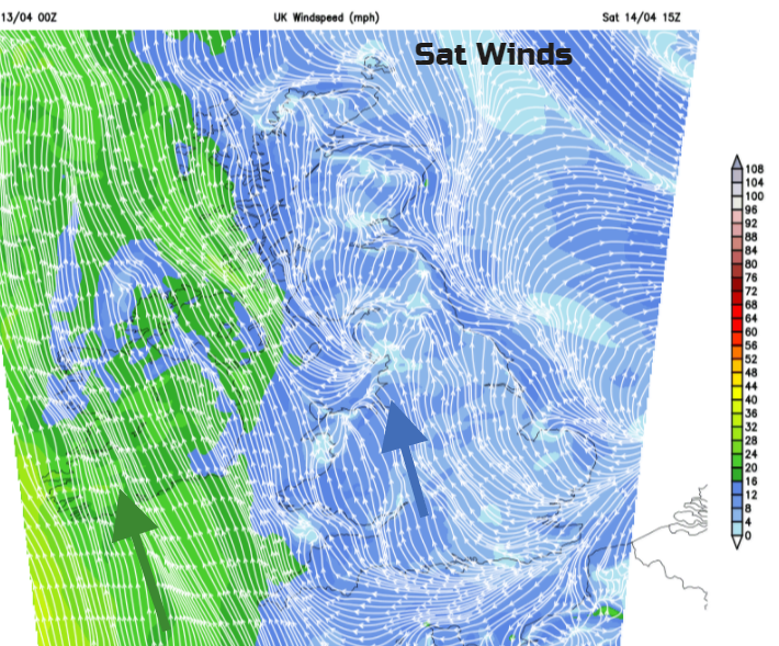
Saturday looks okay, brighter and dry with some sunshine. Remember your sunscreen. By the afternoon there might be the odd shower over Ireland and one or two for inland southern England but overall it is a fine picture. Temperatures 13 to 16C with hardly any breeze for Britain but a fresh southerly for Northern Ireland. A frontal band near Shetland could bring some rain here. There will be some heavy showers over northern France and the Low Countries, so they may need to watch if one or two manage to creep over the Channel later on.
By Saturday evening one Atlantic low will be spilling rain into SW Ireland and then Cornwall.
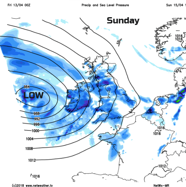
Sunday will start off fine for northern Scotland, maybe eastern England early on but wind and rain will move up from the SW. East Anglia and SE England might see an okay day, escaping most of the rain and just having moderate S winds with temperatures into the high teens. Overall it will be a more unsettled and blustery day than Saturday.
The rain turns lighter and more showery by Sunday evening. Monday looks fair but windy for Ireland and western Britain, then gradually getting drier and warmer for midweek onwards.