The long weekend is over, but the rain, sleet and snow from yesterday is still affecting Scotland, and will stick around right into tomorrow. Elsewhere, bright spells and showers. The rest of the week stays unsettled, Thursday will be drier though.
That was quite the end to the Easter weekend, heavy rain, snow, high winds and not only that, we've seen the return of some milder air in the south. Filton in Gloucestershire took the honours in that respect, reaching 13.9c. The battle between colder air to the north and warmer air to the south is going to become a bit of a theme this week with low pressure never too far off, keeping our weather unsettled.
This morning, we still have the leftovers from yesterday's fun and games across Scotland, it's mostly turning back to rain at lower levels now, but higher up it'll continue to fall as snow, with further accumulations. This morning's batch will be joined by another couple of pulses, later on, pepping the precipitation up in time for the drive home tonight - so be prepared for some disruption on the roads. With this in mind, the Met Office still have warnings for snow issued - for both today and tomorrow for a good part of Scotland.
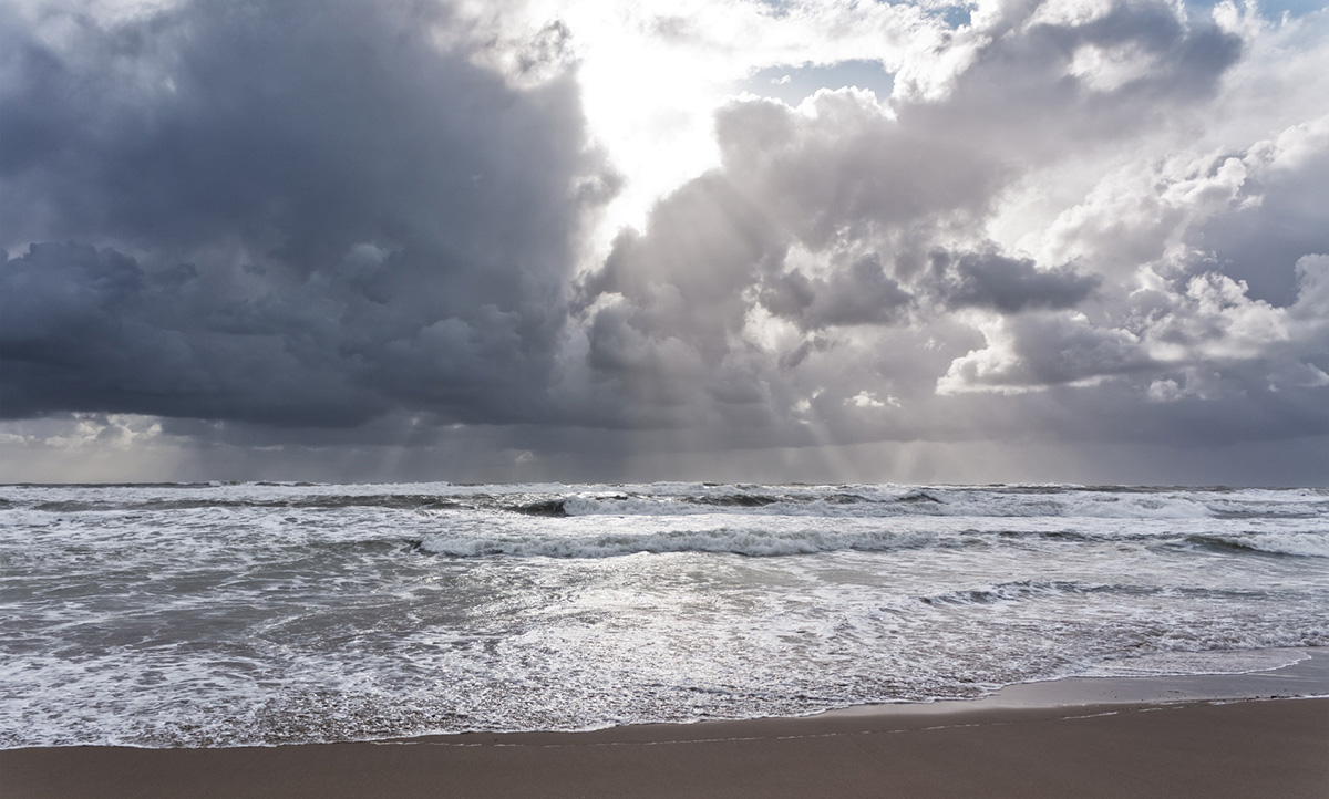
To the south of the snow risk, it's a milder day, with sunny or bright spells, along with some sharp showers. As you may expect, temperatures will be warmest further south with highs of 10-13c, to the north for much of Scotland and Northern Ireland, 3-5c will be about it.
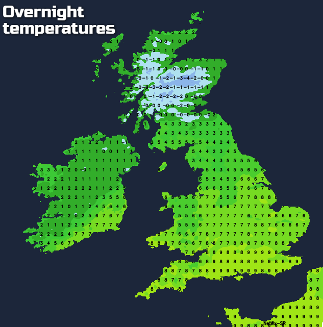
Overnight tonight, the rain, sleet and snow over Scotland continues, perhaps clearing away from the far south though. Elsewhere there'll still be some showers. Temperatures will stay above freezing for most, but there'll be a risk of frost and ice in the north.
Tomorrow (that's Wednesday btw, in case you're confused, as I know I've totally lost track of what day it is), sees a pretty similar day today. There'll be a continuation of the rain, sleet and snow affecting Scotland - with those accumulations continuing to mount on the higher ground. To the south of all that, another day of sunshine and showers. Some of those showers are liable to be heavy and thundery too. It'll be windier than today, so the mildness further south will be tempered by that, and it's sure to feel pretty miserable in the colder air to the north. That cold air, along with the rain, sleet and snow will start to slide a little further south during the day too, making it as far south as northern England by the end of the day.
Thursday then bucks the unsettled trend to bring a mostly dry, bright day. The winds will still be on the blustery side to start with and will stay that way in the northeast, but elsewhere they'll ease down. Temperatures will reach 10-12c in southern and central England, elsewhere 4-7c is more likely.
Later in the day, and especially into Friday, we'll see the next system arriving. That'll mean winds will be on the rise again, with gales close to western coasts, there'll also be rain spreading in from the southwest. This'll be at it's heaviest and most persistent in the north and west of the country, but becoming much more patchy, if not non-existent in the southeast. Winds will be blowing from a mild southerly direction at this point, so temperatures will be heading into the teens for parts of England and Wales, away from the wet weather.
The start of the weekend keeps that southerly flow, but it also brings plenty of showers. In the drier, sunnier slots it should feel quite warm though, especially in the south.