The unsettled weather continues with low pressure to our northwest spawning children today and tomorrow.
We're into an unsettled run of weather now, with showers or longer spells of rain, along with some sleet and snow in the north, moving through frequently. For today, it's shaping up to be a sunshine and showers type of day. We do have some rain to clear the southeast and east Anglia though, and there's a fair amount of cloud in many parts, but skies will brighten from the west.
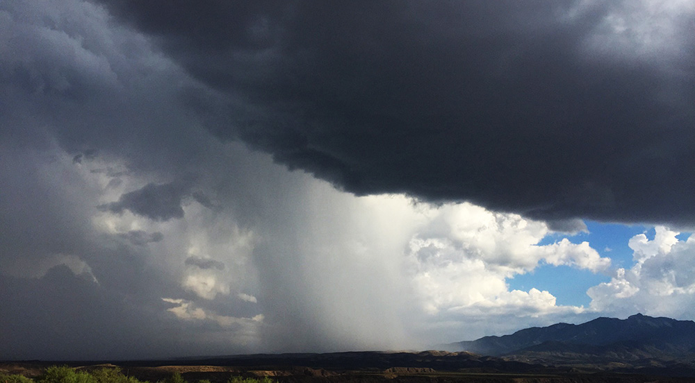
The reason for the unsettled weather is low pressure being nearby, in fact, there's one hanging around just out to the west of Scotland currently, which isn't going to move far over the next 48 hours. It's spawning child (secondary) lows quite regularly, with one moving away from the southeast corner this morning, and another one will develop, moving east across the country later tonight, into tomorrow. These'll spice the weather up as they run through, bringing heavier, more persistent rain and perhaps some stronger gusts of wind too. Later in the week and into the weekend, reinforcements arrive, with new lows heading up from the southwest.
Despite the sunny spells today, it's a fairly cool day, with highs peaking at 7-9c in the south, 3-6c further north. It'll be cool enough in Scotland for the showers to fall as sleet or snow, with snow also likely up over the higher ground of northern England.
Overnight tonight, we'll see a north-south split. In the north, there will be a continuation of the showers in places - especially western parts. But for many, it'll stay dry with clear spells and a widespread frost. To the south though, we'll have that secondary low influencing coming into play. With a band of showery rain, sleet and snow heading in from the west. The snow will be limited to the higher ground in the main.
Tomorrow then brings a familiar story - sunshine and showers. The showers will be most frequent in the west, and wintry in the north, temperatures will be on a par with today. A widespread frost follows overnight into Friday, with the showers becoming restricted to western Scotland and the far northwest of England.
Friday itself will be a dry, bright, chilly day in the main with just a few showers in western Scotland. But more rain won't be far away, with trouble brewing down to the southwest. The wet weather will start to arrive during the afternoon or evening, and it's going to head steadily northeast into the evening and overnight, with some snow up over the hills.
As it all continues to move north into Saturday, it will be running into the colder air across the northern half of Britain, so it's likely to turn more readily to snow. This'll be chiefly over high ground, but perhaps not exclusively so, with some mostly wet snow possible lower down. Behind the mess of rain, sleet and snow, there'll be some further wet weather around, along with a fair amount of cloud. We'll also have milder air feeding in for a time. By Sunday, we may even see highs in the teens for southern England, but it'll not last long with cooler weather back for the start of next week.